Fayetteville Bypass

Trying to track down a map of the Fayetteville Bypass that was supposed to connect Interstate 690 in DeWitt to NY 92 in Oran via the NY Central RR rightway. I’m sure it has to be somewhere on the interwebs.

Map: Bonner Lake State Forest
Map: Granger State Forest
Map: Peter Scott Swamp Freshwater Wetlands
Map: Point Peninsula Wildlife Management Area
Map: South Hill State Forest
Map: Urbana And Pigtail Hollow State Forests
Terrain Map: Brewerton
Terrain Map: Oswego Boulevard Expressway in 1958
Terrain Map: Saratoga - Ballston Spa
Terrain Map: The GAL And Rapp Road Hillshade
Terrain Map: Weedsport
Thematic Map: 2020 Bethlehem Proposition 2
Thematic Map: Before the Sprawl in Delmar
Thematic Map: Buildings Today Vs 1952 In Greenville, NY
Thematic Map: Farms on the Outskirks of Delmar
Photo: Across the Lake
Photo: Fourth Lake
Photo: Phillipin Kill
Photo: Wind Transforms Landscapes
Photo: Entrance to Hyde Hall
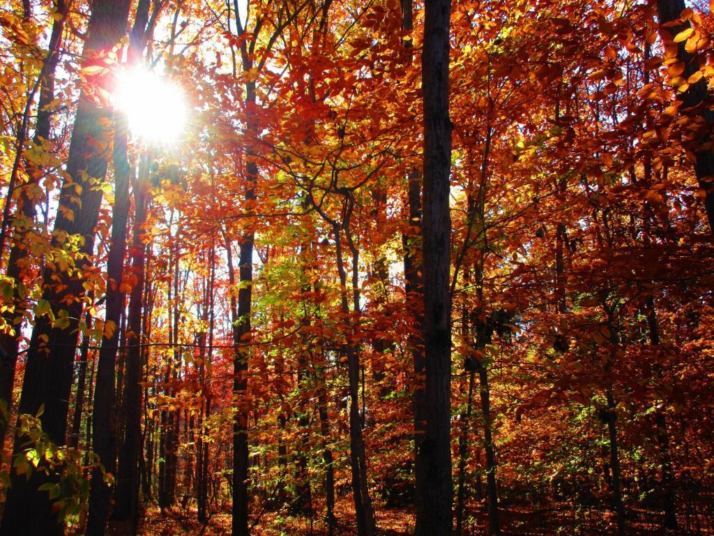
Photo: Autumn Reds
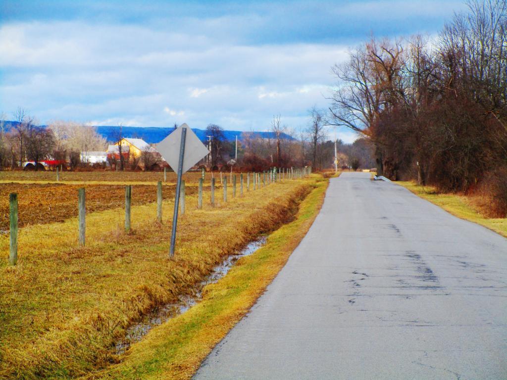
Photo: Meads Road
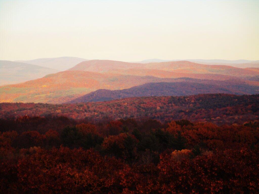
Photo: Fading Colors In Taconics
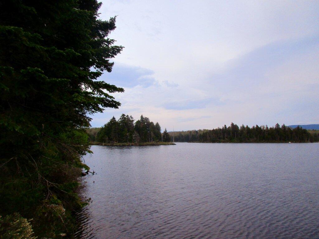
Photo: North End Of Bourne Pond
Photo: Driving through Davis

Leave a Reply

Your email address will not be published. Required fields are marked *