Road hikes are good this time of year. 🚢🏻

Road hikes are good this time of year, especially hardened gravel seasonal use roads that are closed to motor vehicles. Not likely to see many people this time of year for example hiking Piseco-Powley Road or West Road in Wells but you will see a lot of wildlife. Might not even need boots in such roads to the extent their snow free.
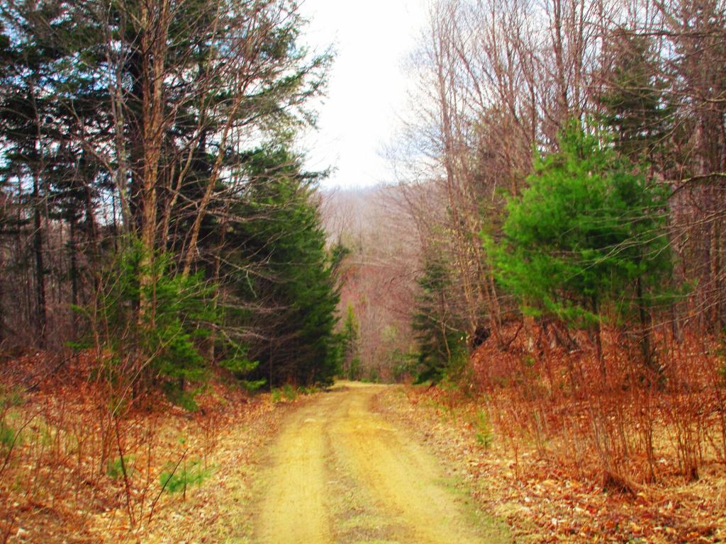
Tenant Creek ATV Trail

Map: Bonner Lake State Forest
Map: Granger State Forest
Map: Peter Scott Swamp Freshwater Wetlands
Map: Point Peninsula Wildlife Management Area
Map: South Hill State Forest
Map: Urbana And Pigtail Hollow State Forests
Terrain Map: Brewerton
Terrain Map: Oswego Boulevard Expressway in 1958
Terrain Map: Saratoga - Ballston Spa
Terrain Map: The GAL And Rapp Road Hillshade
Terrain Map: Weedsport
Thematic Map: 2020 Bethlehem Proposition 2
Thematic Map: Before the Sprawl in Delmar
Thematic Map: Buildings Today Vs 1952 In Greenville, NY
Thematic Map: Farms on the Outskirks of Delmar
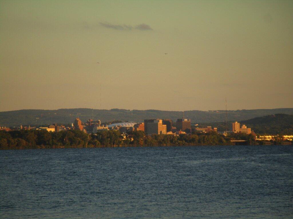
Photo: Syracuse In The Evening
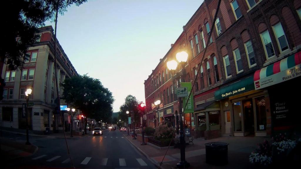
Photo: Stopped for Gas and Headed Through Downtown Oneonta
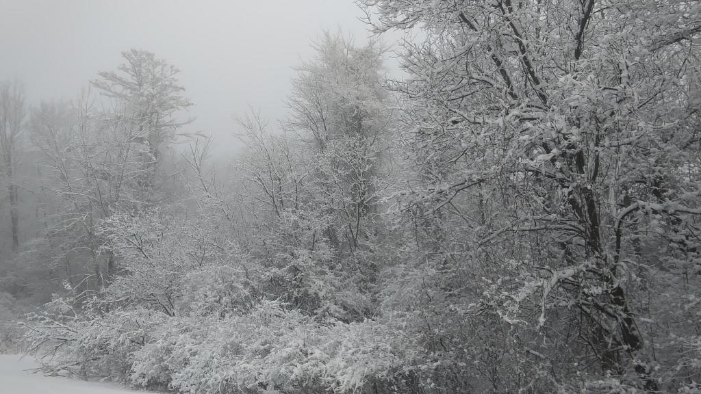
Photo: Snowy Morning
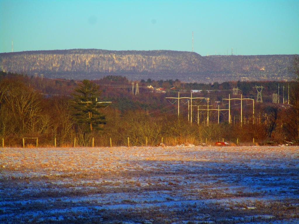
Photo: Power Lines
Photo: Hills Drop Down to the Lake
Photo: Across the Lake
Photo: Autumn Afternoon
Photo: Bennett Hill
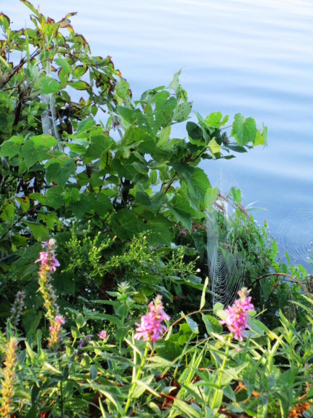
Photo: Shoreline
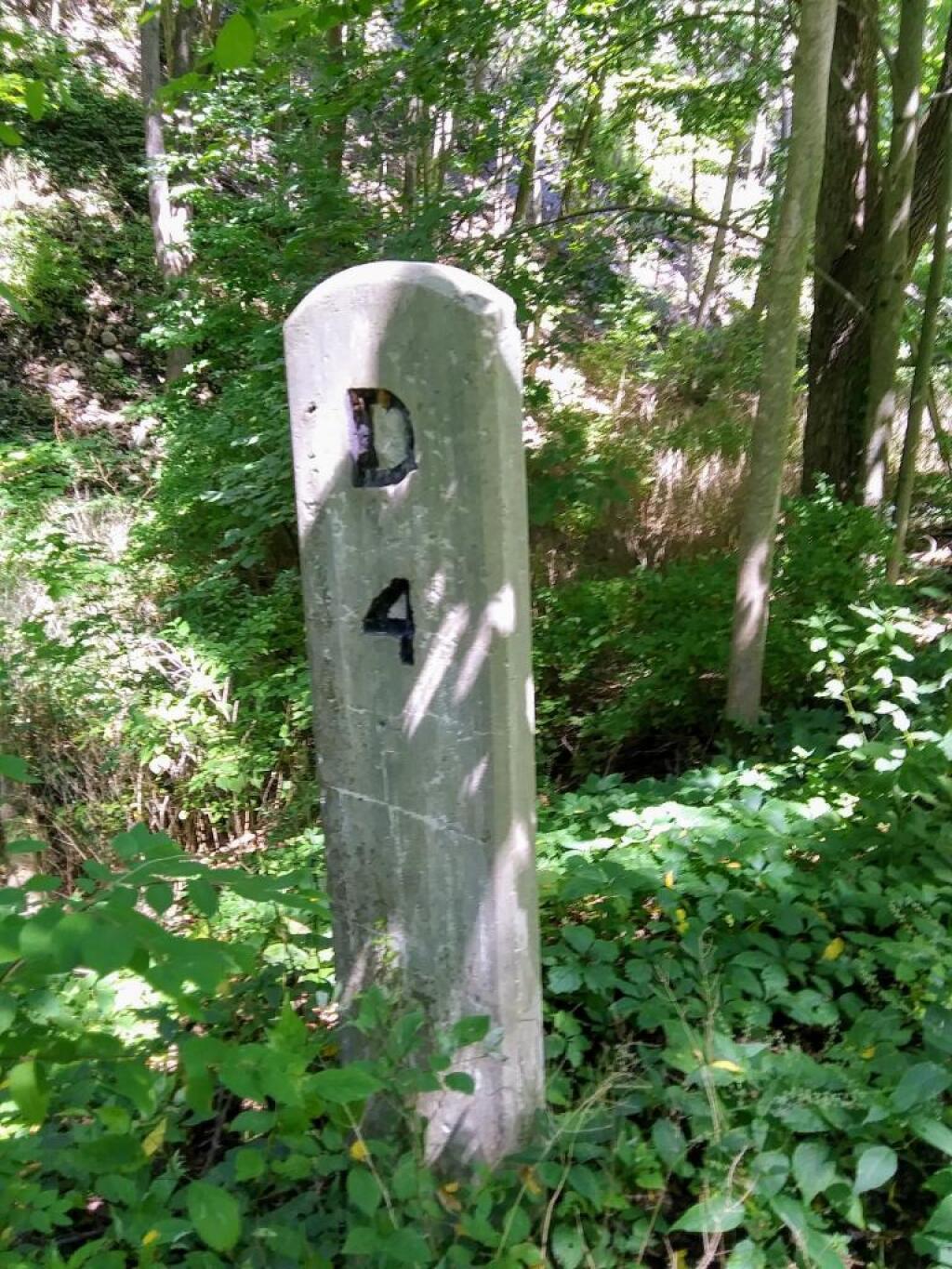
Photo: Railroad Mile Marker

Leave a Reply

Your email address will not be published. Required fields are marked *