Plattsburgh/Danemora 1956 Topographic Map 🗺️
About Plattsburgh/Danemora 1956 Topographic Map ....
Taking a look at historical topographic maps from 1956, while the Northway was an initial line on the map.

Helpful Hint: While I suggest you look on blog for a downloadable PDF Map, you should be able to print or save this map by clicking the print button on the map above.
Data Sources
Road Trip to Coal Country by Nate Matthews - You can download the KMZ File used in creation of this map.
Historical USGS Topographic Maps - You can browse all historical USGS topographic maps or you can bulk download them on HTTP Directory/Amazon Cloud or using an FTP Client. Retrieved via USGS ArcMap Image Server: https://utility.arcgis.com/usrsvcs/servers/88d12190e2494ce89374311800af4c4a/rest/services/USGS_Historical_Topographic_Maps/ImageServer/ with parameters: mosaicRule: {"mosaicMethod":"esriMosaicCenter","where": "OBJECTID = 114037 OR OBJECTID = 113014","ascending":true,"mosaicOperation":"MT_FIRST"}
OpenStreetMap - Map data: © OpenStreetMap, SRTM | Map style: © OpenTopoMap (CC-BY-SA). XYZ Tiles: https://{s}.tile.openstreetmap.org/{z}/{x}/{y}.png
3DEP Elevation Hillshade. LIDAR and legacy USGS DRG Topo Derived hillshades used as a background. DEM - WMS Service: https://elevation.nationalmap.gov/arcgis/services/3DEPElevation/ImageServer/WMSServer, Layer: 3DEPElevation:Hillshade Gray
Full List of WMS and ArcMap Services - CSV Spreadsheet with all web map services currently used on the blog.
More about Plattsburgh...
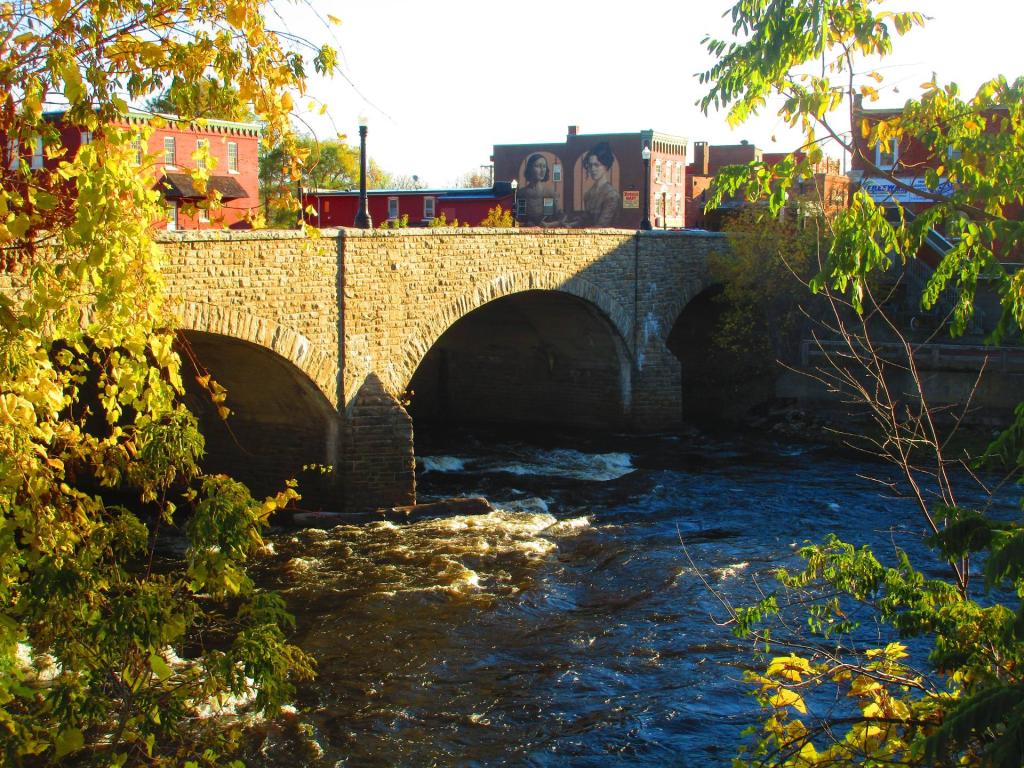
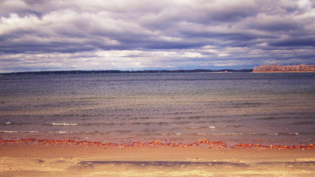
Scenic Clinton County is located in the Northeast corner of New York State, bordering on beautiful Lake Champlain. With the majestic Adirondack Mountains and numerous lakes, rivers and tributaries, it is an ideal place to live, work or visit. Enjoy fishing, skiing, swimming, boating, hiking, camping or virtually any outdoor activity in our County.
http://www.clintoncountygov.com/