Madison County – Land Use 🗺️
About Madison County - Land Use ....
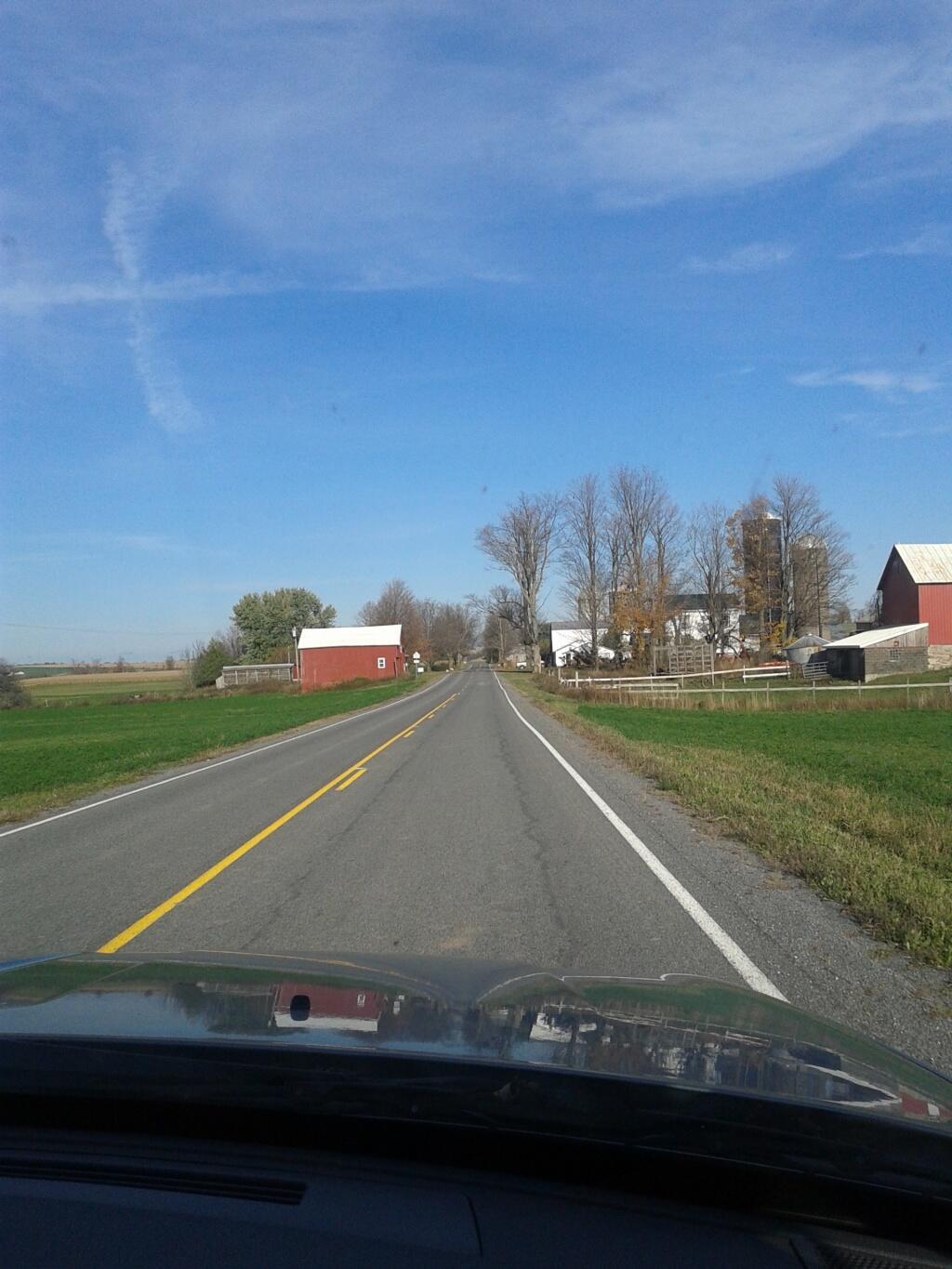
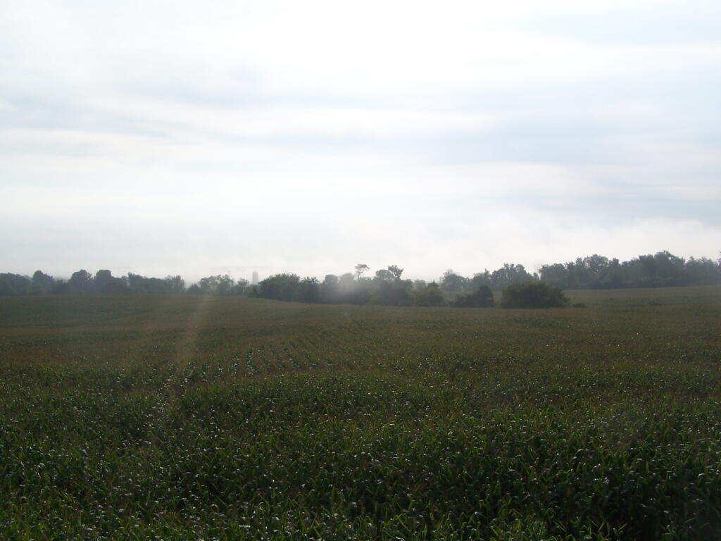
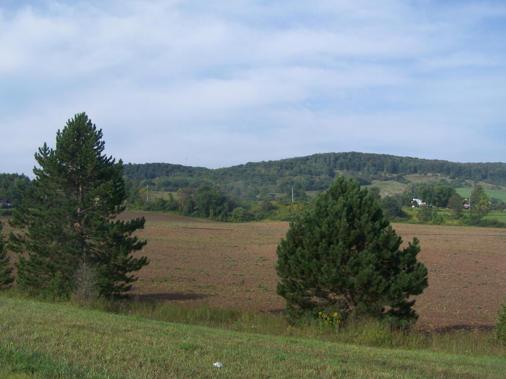
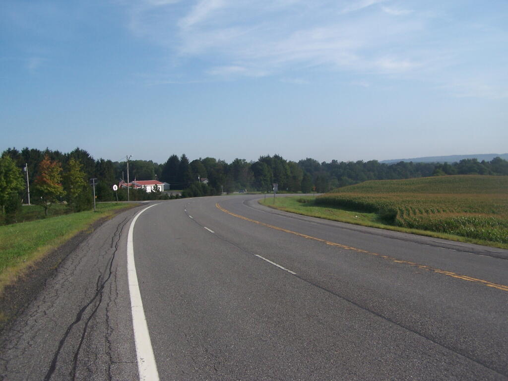
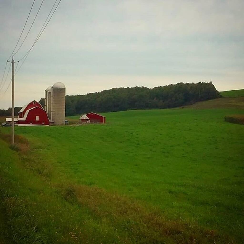
The northern part of the county has a lot of crop land, while the more southernly part of the county is more pasture and forested.

Helpful Hint: While I suggest you look on blog for a downloadable PDF Map, you should be able to print or save this map by clicking the print button on the map above.
Data Sources
Road Trip to Coal Country by Nate Matthews - You can download the KMZ File used in creation of this map.
OpenStreetMap - Map data: © OpenStreetMap, SRTM | Map style: © OpenTopoMap (CC-BY-SA). XYZ Tiles: https://{s}.tile.openstreetmap.org/{z}/{x}/{y}.png
National Land Cover Dataset 2016 - Multi-resolution Land Characteristics Consortium. WMS Service: https://www.mrlc.gov/geoserver/ows?SERVICE=WMS, Layer: NLCD_2016_Land_Cover_L48
Municipalities - US Census Bureau TIGER/Line. WMS Service: https://tigerweb.geo.census.gov/arcgis/services/TIGERweb/tigerWMS_Census2020/MapServer/WMSServer, Layer: County Subdivisions,Counties
L.esri - US Census Bureau TIGER/Line. WMS Service: https://tigerweb.geo.census.gov/arcgis/services/TIGERweb/tigerWMS_Census2020/MapServer/WMSServer, Layer: Counties,States
NYS Streets - NYS GIS/ITS Services. WMS Service: https://gisservices.its.ny.gov/arcgis/services/NYS_Streets/MapServer/WMSServer?, Layer: 1,2,3,4,5,6,7,8,9,10,11,12
3DEP Elevation Hillshade. LIDAR and legacy USGS DRG Topo Derived hillshades used as a background. DEM - WMS Service: https://elevation.nationalmap.gov/arcgis/services/3DEPElevation/ImageServer/WMSServer, Layer: 3DEPElevation:Hillshade Gray
Full List of WMS and ArcMap Services - CSV Spreadsheet with all web map services currently used on the blog.
More about Madison County, NY...
Madison County, situated in central New York State, is home to a population of 73,442 as per the 2010 census. This county is a pivotal part of the Syracuse, NY Metropolitan Statistical Area. Positioned east of Syracuse, slightly north of Binghamton, and west of Albany, Madison County holds the honor of housing the state's geographic center in Pratts Hollow, within the Town of Eaton. With Oneida Lake and Oneida Creek framing part of its northern border and Chittenango Creek defining the western boundary, Madison County boasts picturesque landscapes.
This page focuses on free camping opportunities on state land within Madison County, extending an invitation for outdoor enthusiasts to explore the region's diverse offerings, including hiking, biking, kayaking, and various outdoor pursuits.
Download the PDF Map Pack with All Maps from Madison County, NY.