
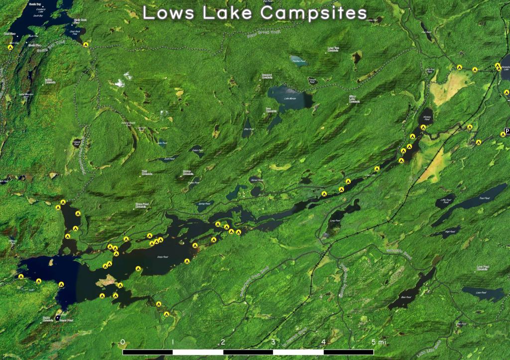
Campsites along the Bog River Flow 🗺️
About Campsites along the Bog River Flow ....
Interactive map of camping opportunities, trails, and scenic vistas along the Bog River Flow.

Helpful Hint: While I suggest you look on blog for a downloadable PDF Map, you should be able to print or save this map by clicking the print button on the map above.
Data Sources
Google Earth Data - You can download the KMZ File used in creation of this map.
USGS Aerial Imagery - Moderate-resolution, summer aerial photography from USGS. National Map. WMS Service: https://basemap.nationalmap.gov/arcgis/services/USGSImageryOnly/MapServer/WMSServer, Layer: 0
NYS Roads and Trails (Invert) - NYSDEC. Download KMZ File / Download GeoJSON File
ArcMap FeatureService: https://services6.arcgis.com/DZHaqZm9cxOD4CWM/ArcGIS/rest/services/DEC_Trails/FeatureServer/ Query: 0,1,2,3,4,5,6
3DEP Elevation Hillshade. LIDAR and legacy USGS DRG Topo Derived hillshades used as a background. DEM - WMS Service: https://elevation.nationalmap.gov/arcgis/services/3DEPElevation/ImageServer/WMSServer, Layer: 3DEPElevation:Hillshade Gray
Full List of WMS and ArcMap Services - CSV Spreadsheet with all web map services currently used on the blog.
More about Bog River Flow...
Download the PDF Map Pack with All Maps from Bog River Flow.




1,003 Comments
Hey, looking to do my first Adirondacks canoe trip, and looking for primitive, no fee campsites and an interconnected lake/river system for no portages for a 4-7 night trip. This looks like an option, it has been hard finding info on Adirondacks camping options but I really appreciate your hard work putting this together!!
So the Bog river flow and Lows lake seems like a perfect fit, do you agree?
Thanks for your time,
Caleb, Ohio canoer
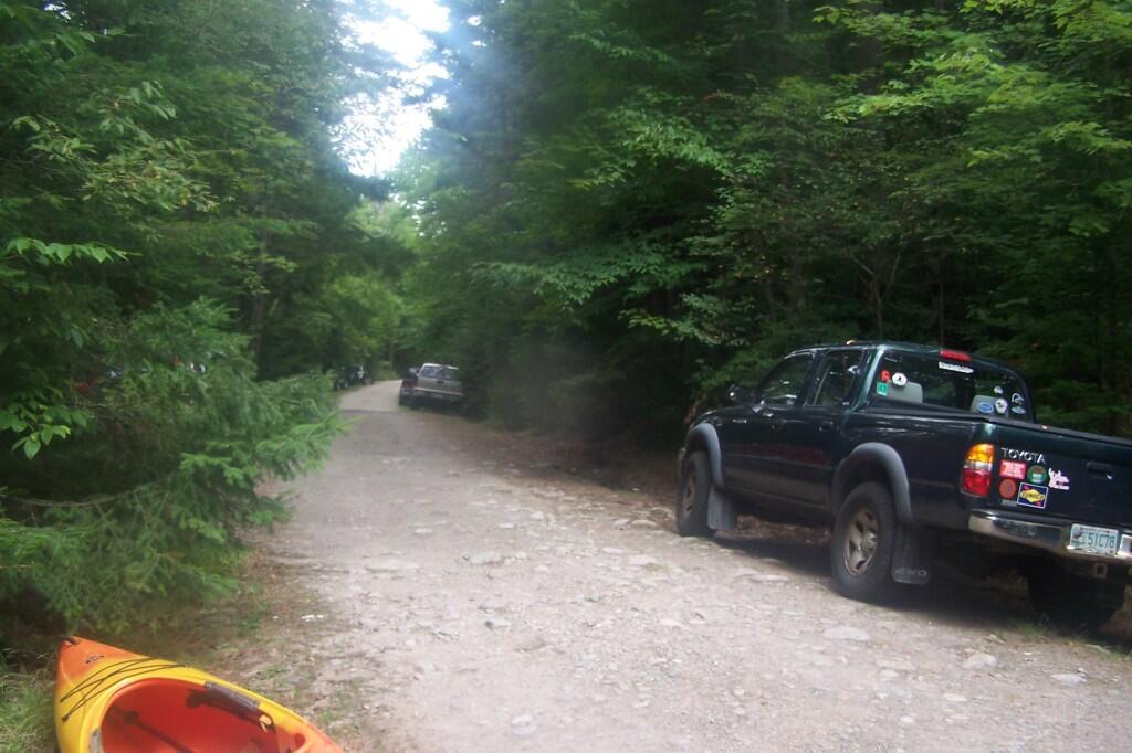
That’s a good choice. It can be popular area, especially mid-summer on the weekends. You might have to carry a bit from parking along the road to the Lower Dam. I’ve not camped on the lake, but there are a lot of sites along it. If you want to stay in one site more then 3 nights you should look on the DEC website for the local forest ranger to get a free permit or you can plan to move every few nights.
If you do camp there, make time to visit Low’s Ledge, there are fantastic views from there.
Other places to consider are Little Tupper Lake (which can be choppy), Cedar River Flow at Moose River Plains, Woodhull Lake, Oswegatchie River or Racquette Rivers (there are rapids and portages on those), Saint Regis Canoe Area (which as a mixature of primative free camping and developed campgrounds, namely Fish Creek DEC Campground), Osgood Pond/River.