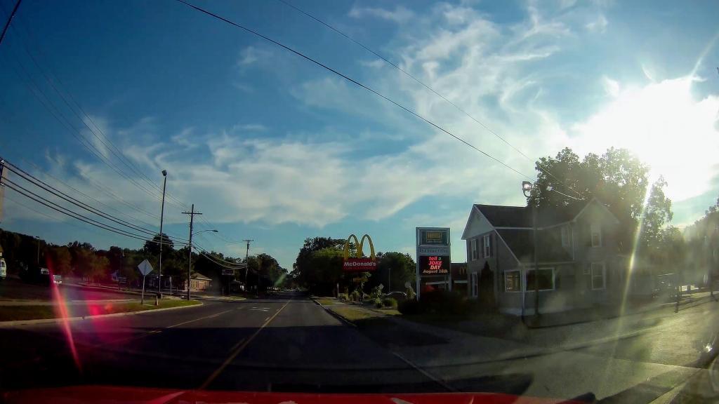
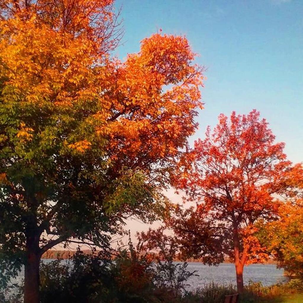
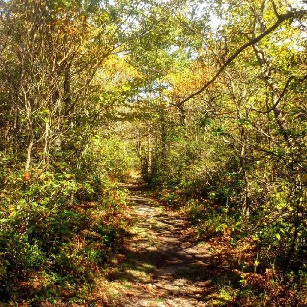
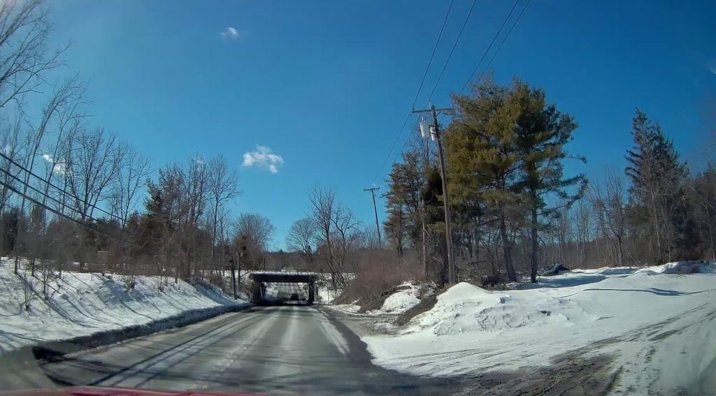
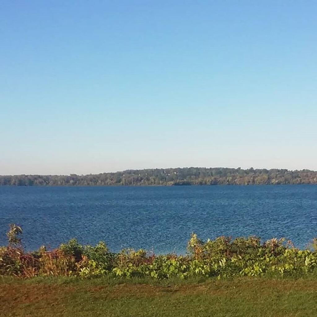
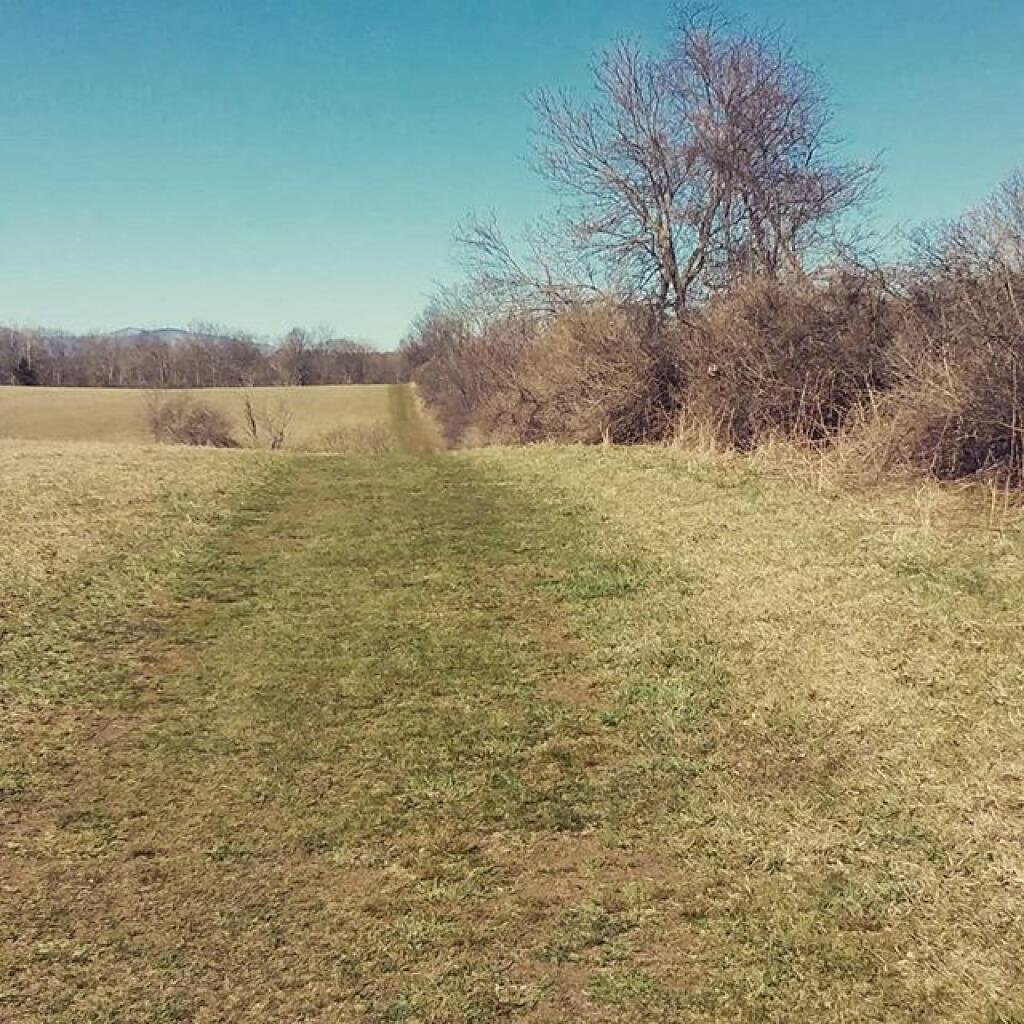
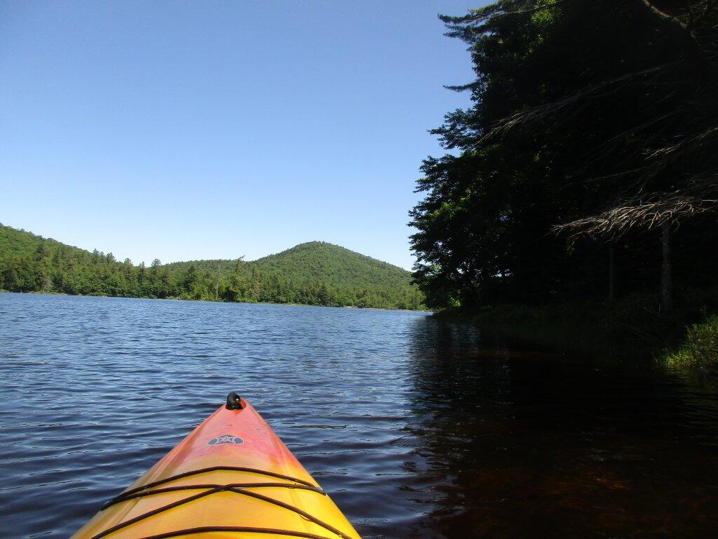
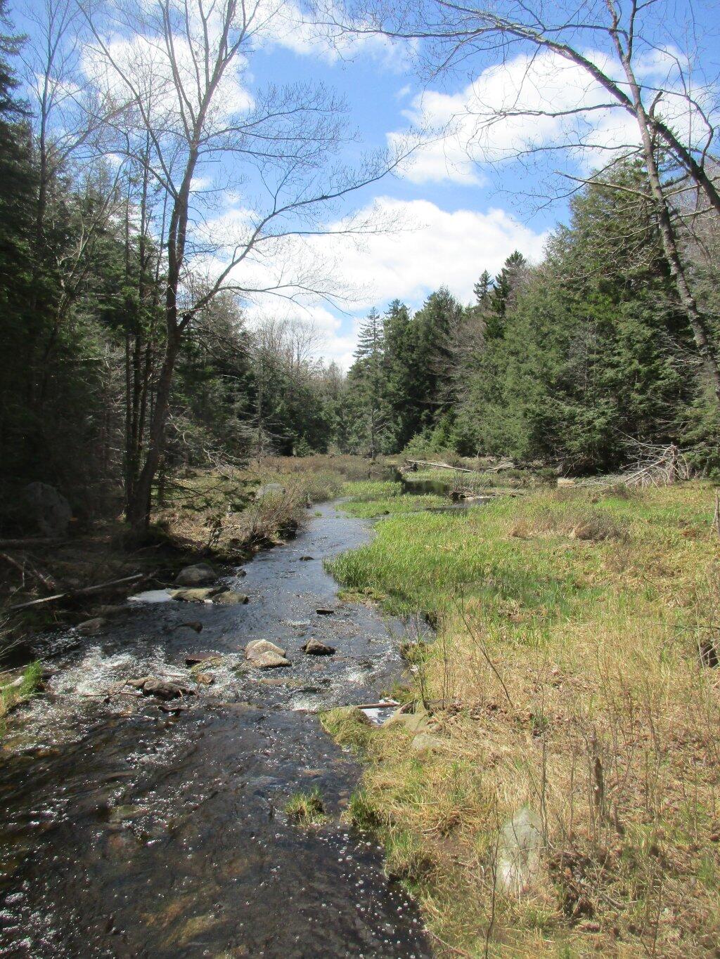
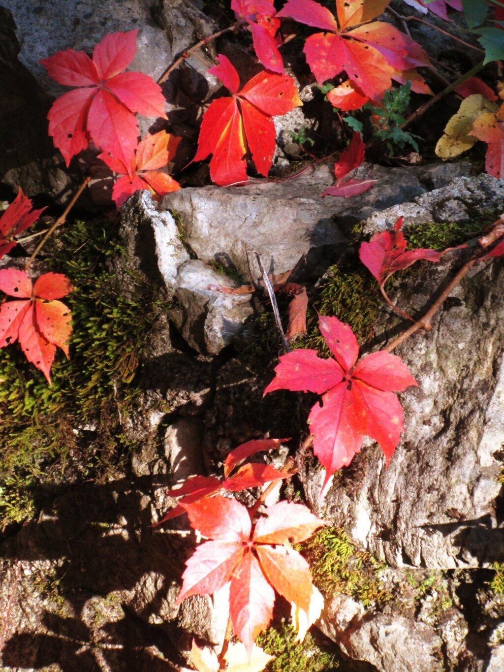
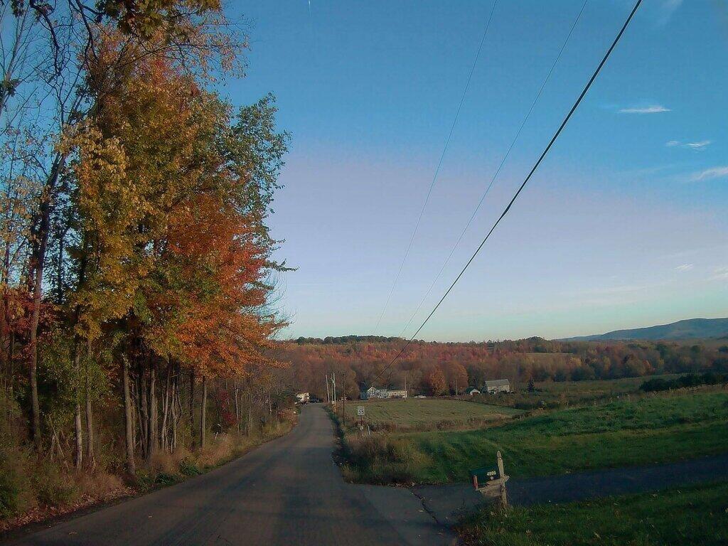
Evening walk

It was much less cold than I expected for my evening walk 🚶🏻

I do expect that I will have to call it off tomorrow evening with the snow or maybe not – it could be pretty. Maybe do the evening walk early. I do plan on the morning walk – it will be frigid but I’ll bundle up.

Map: Alma Pond
Map: Dobbins Memorial State Forest
Map: Little John Wildlife Management Area
Map: Otter Lake
Map: South Hill State Forest (Oneida 23)
Map: Summer Hill State Forest
Map: West Parishville State Forest
SVGZ Graphic: albany-snow-depth
SVGZ Graphic: college-rate
SVGZ Graphic: december-holidays
SVGZ Graphic: ht2025
SVGZ Graphic: lt2025
SVGZ Graphic: Places Named Bethlehem
SVGZ Graphic: Towns with Most Similiar Land Cover to the Town of Bethlehem
Terrain Map: Happy World Milk Day!
Photo: Where Corridor H Ends Outside Of Davis WV
Photo: Kueka Outlet
Photo: Hot And Humid Afternoon
Photo: Mock Rig and Pump at Entrance to Drake Well Historic Site
Photo: Albany From Windham High Peak
Photo: Hilldabrandt Vly Campsite
Photo: Mount Ginseng
Photo: New Development
Photo: Campsite
Photo: Cold water

Leave a Reply

Your email address will not be published. Required fields are marked *