Fun city

β€œI still think it’s a fun city.”

– Mayor John V. Lindsay, 1966

Map: Alma Pond
Map: Dobbins Memorial State Forest
Map: Little John Wildlife Management Area
Map: Otter Lake
Map: South Hill State Forest (Oneida 23)
Map: Summer Hill State Forest
SVGZ Graphic: albany-snow-depth
SVGZ Graphic: college-rate
SVGZ Graphic: december-holidays
SVGZ Graphic: ht2025
SVGZ Graphic: lt2025
SVGZ Graphic: Places Named Bethlehem
SVGZ Graphic: Towns with Most Similiar Land Cover to the Town of Bethlehem
Terrain Map: Happy World Milk Day!
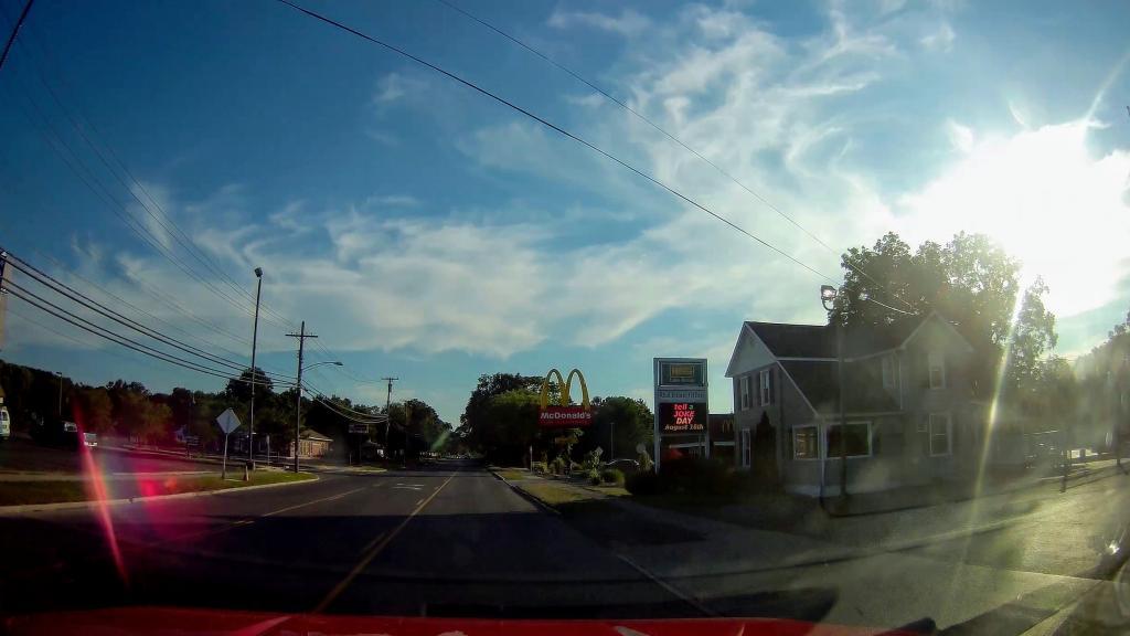
Photo: Golden Arches πŸ”
Photo: After The Fire
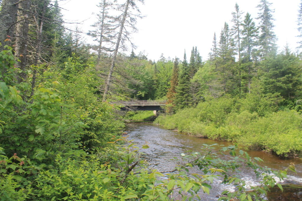
Photo: NY 28 / Boreas River Bridge
Photo: There's a bunch of dead ash trees on the hills all over Western Pennsylvania
Photo: North
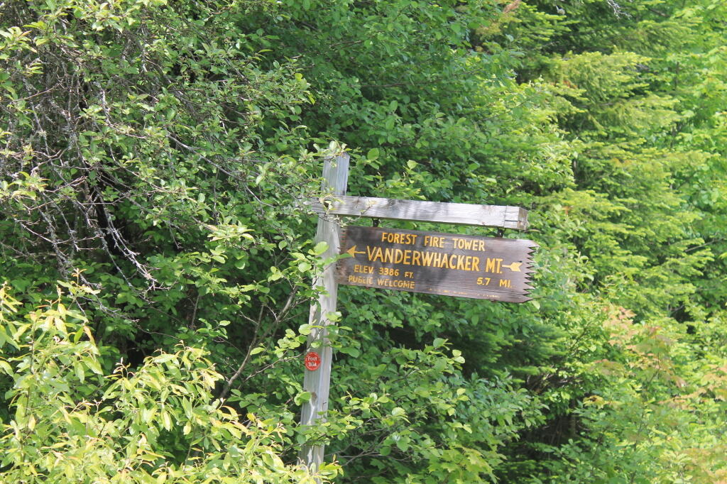
Photo: Firetower 5.7 mi away, if you walk
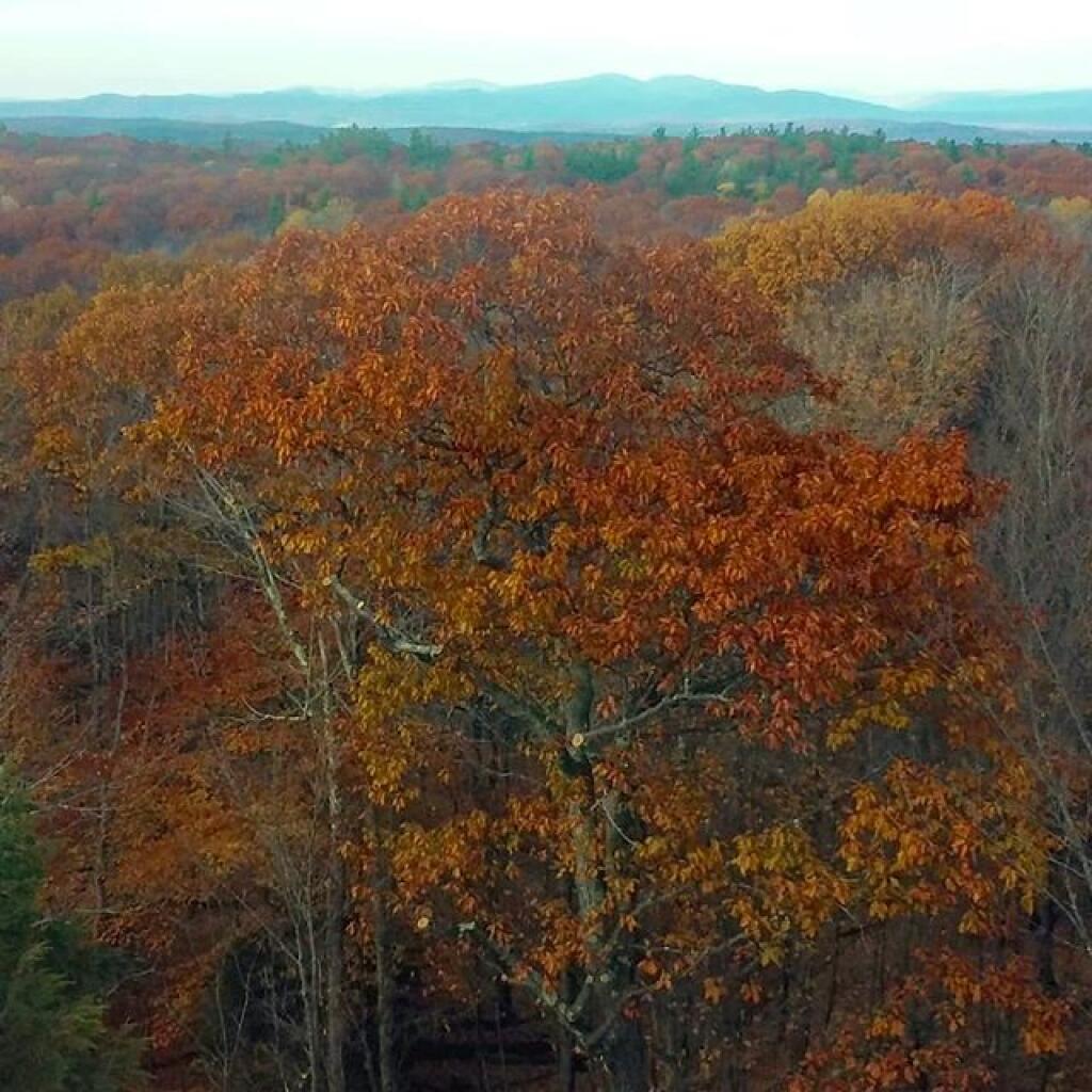
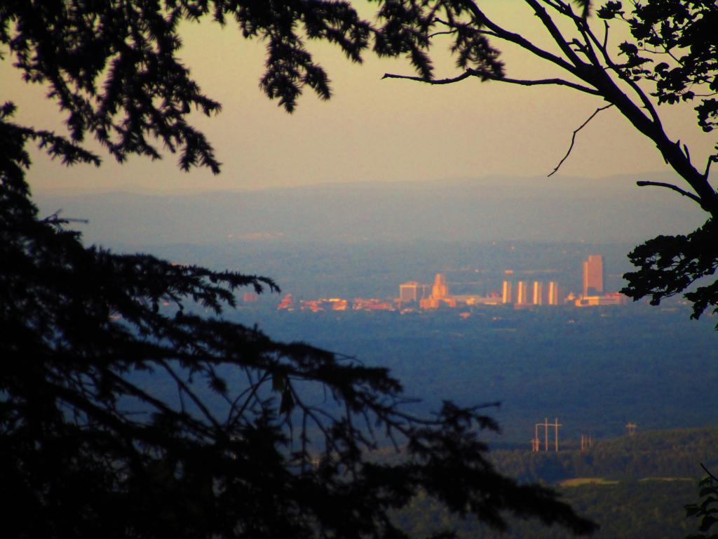
Photo: Looking Down at Albany from Wolf Hill
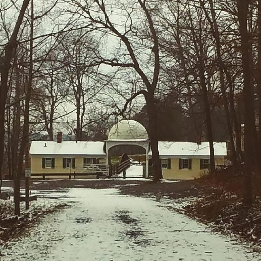
Photo: Gate House
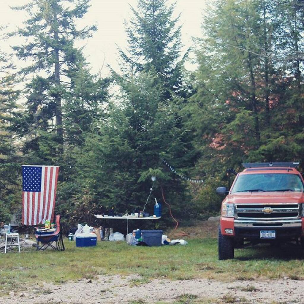
Photo: Camping on Forest Road 13
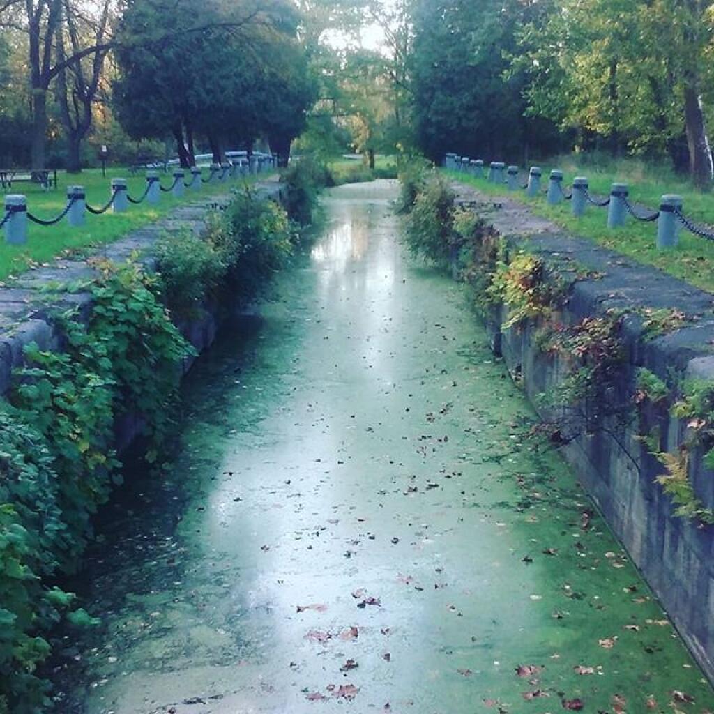
Photo: Mud Lock of the Old Oswego Canal

Leave a Reply

Your email address will not be published. Required fields are marked *