Centralia Coal Fire

Short Stuff: Centralia Coal Fire

7/15/2020 by iHeartRadio

Web player: https://podplayer.net/?id=109724814
Episode: https://www.podtrac.com/pts/redirect.mp3/pdst.fm/e/chtbl.com/track/5899E/traffic.megaphone.fm/HSW3645990418.mp3

An old coal mine in Pennsylvania caught fire one day in the 60s and it’s been burning ever since. What’s crazy is this happens all the time.

Never been Centralia but I should go there some time. Coal seem fires are fairly common, I know the Penna DCNR puts out a map, I should put together a Google Map of it.

Map: Alma Pond
Map: Dobbins Memorial State Forest
Map: Little John Wildlife Management Area
Map: Otter Lake
Map: South Hill State Forest (Oneida 23)
Map: Summer Hill State Forest
Map: West Parishville State Forest
SVGZ Graphic: albany-snow-depth
SVGZ Graphic: college-rate
SVGZ Graphic: december-holidays
SVGZ Graphic: ht2025
SVGZ Graphic: lt2025
SVGZ Graphic: Places Named Bethlehem
SVGZ Graphic: Towns with Most Similiar Land Cover to the Town of Bethlehem
Terrain Map: Happy World Milk Day!
Photo: Breakfast
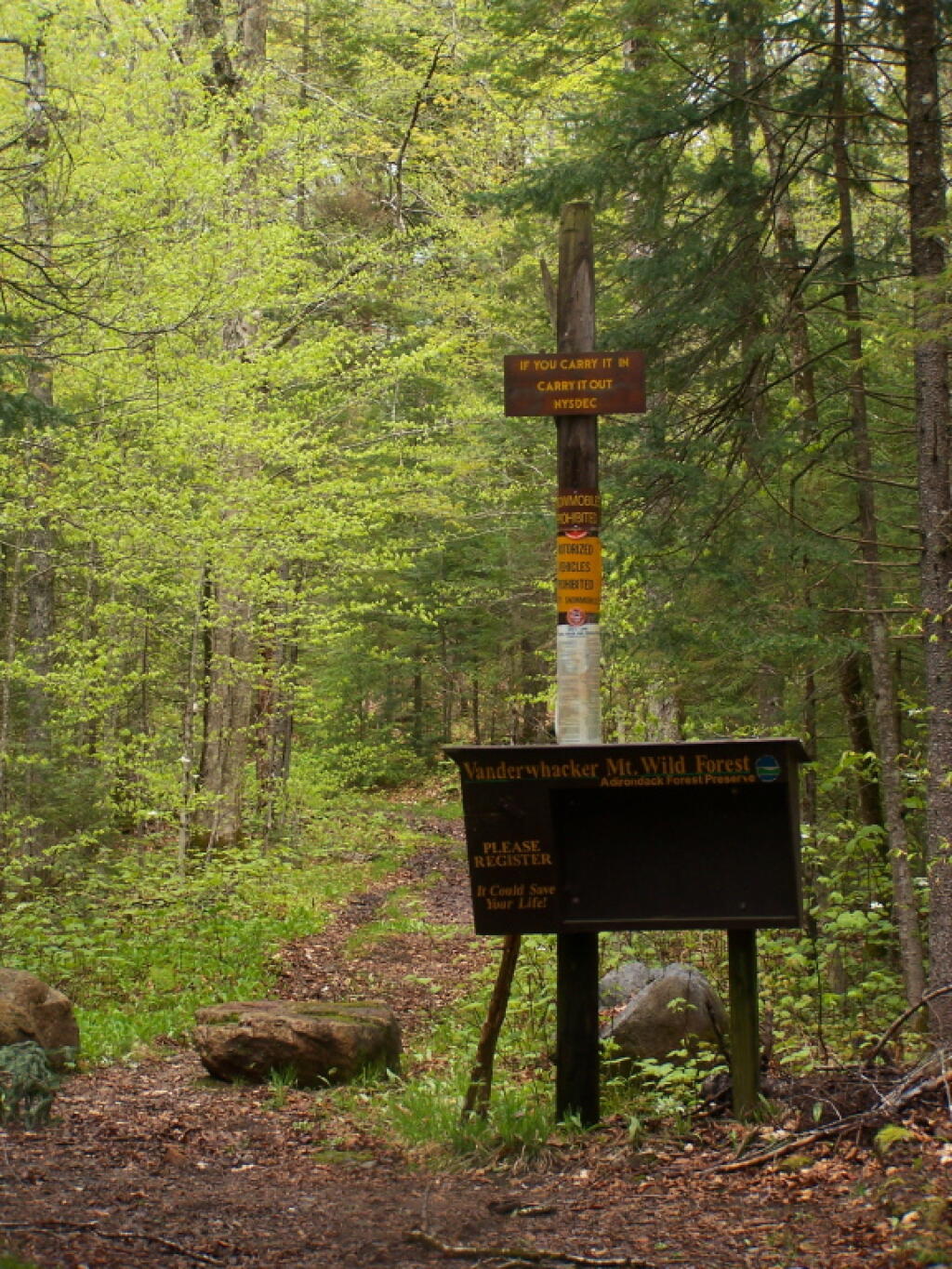
Photo: Vanderwhacker Trail
Photo: Further Up Cole Hill
Photo: There's a bunch of dead ash trees on the hills all over Western Pennsylvania
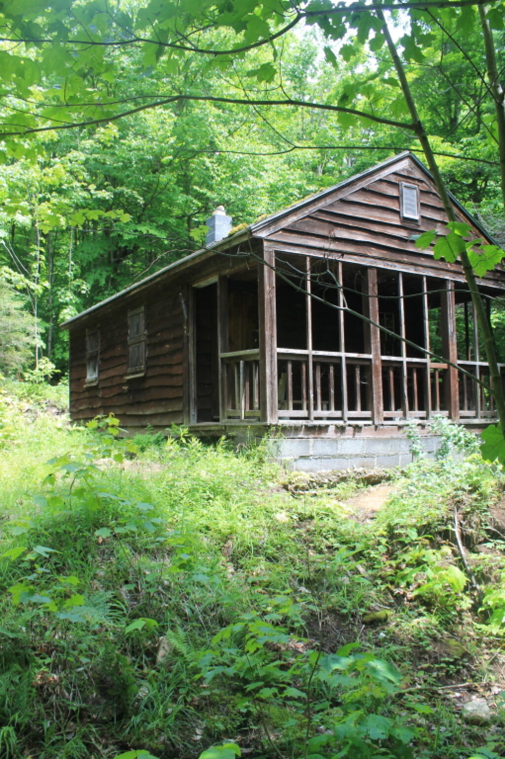
Photo: Rangers Cabin
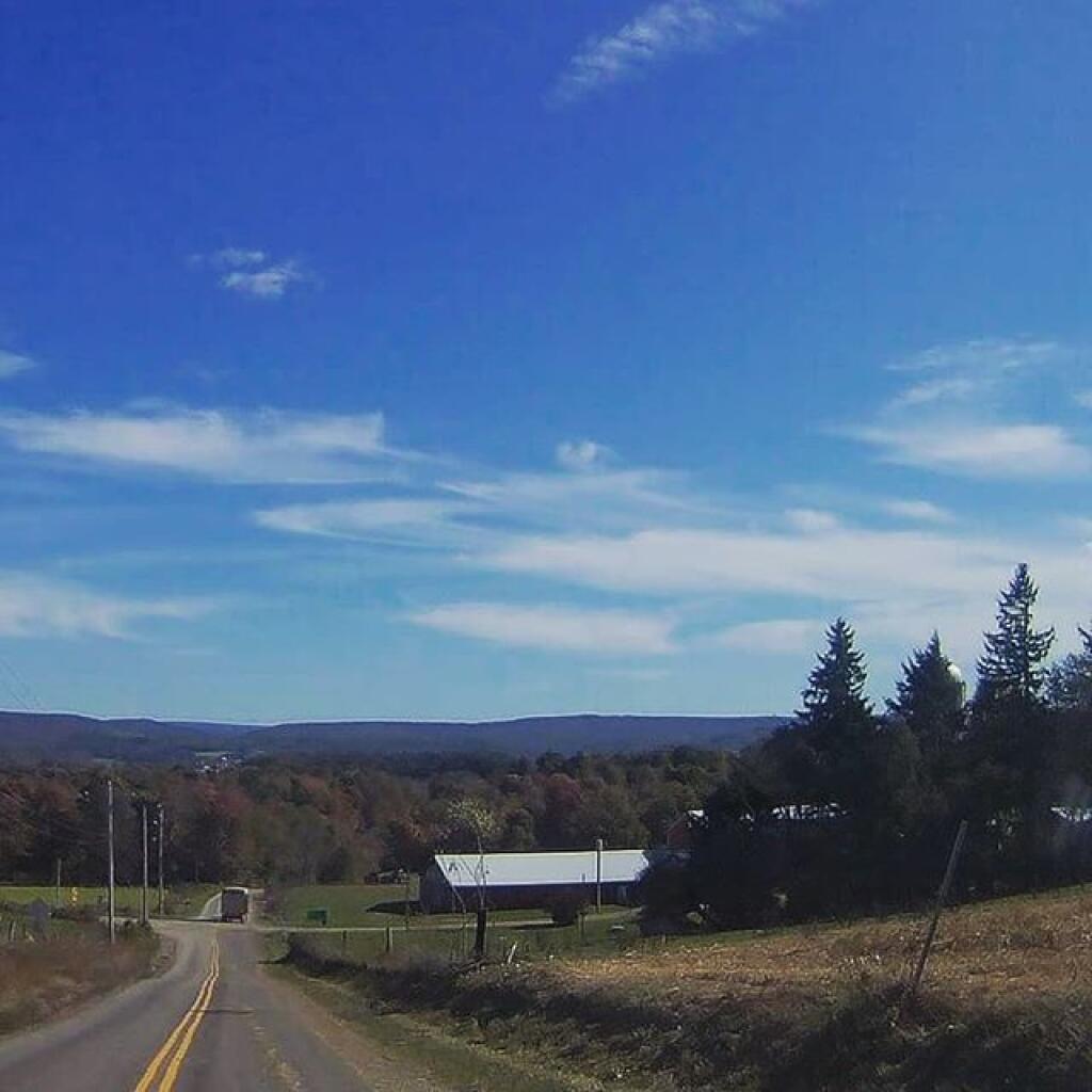
Photo: Farm Country
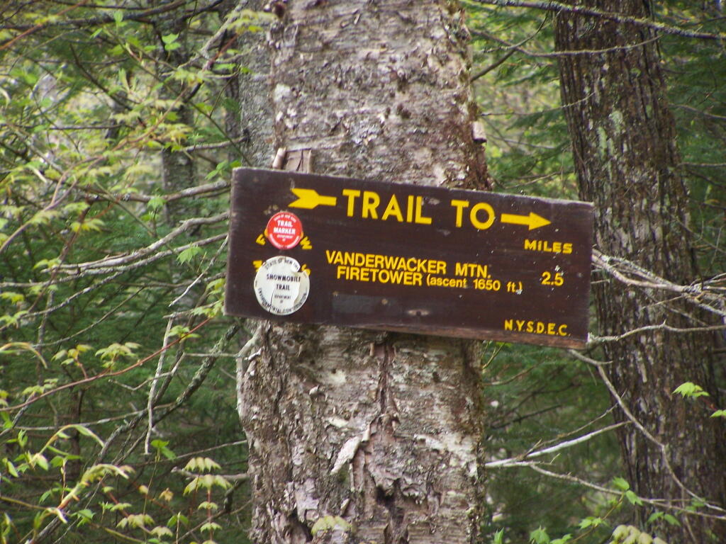
Photo: 2.5 Miles to Vanderwhacker Firetower
Photo: Woodvine
Photo: Sun
Photo: Mount Ginseng

Leave a Reply

Your email address will not be published. Required fields are marked *