That works

The DOT sign shop didn’t have a a SOUTH placard for the sign the drunk took out my street. So they took a NORTH sign and patched it with a S and U over the N and the R. Apparently that works.

Map: Alma Pond
Map: Dobbins Memorial State Forest
Map: Little John Wildlife Management Area
Map: Otter Lake
Map: South Hill State Forest (Oneida 23)
Map: Summer Hill State Forest
SVGZ Graphic: albany-snow-depth
SVGZ Graphic: college-rate
SVGZ Graphic: december-holidays
SVGZ Graphic: ht2025
SVGZ Graphic: lt2025
SVGZ Graphic: Places Named Bethlehem
SVGZ Graphic: Towns with Most Similiar Land Cover to the Town of Bethlehem
Terrain Map: Happy World Milk Day!
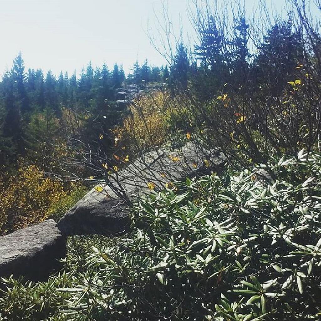
Photo: Mountain Laurel
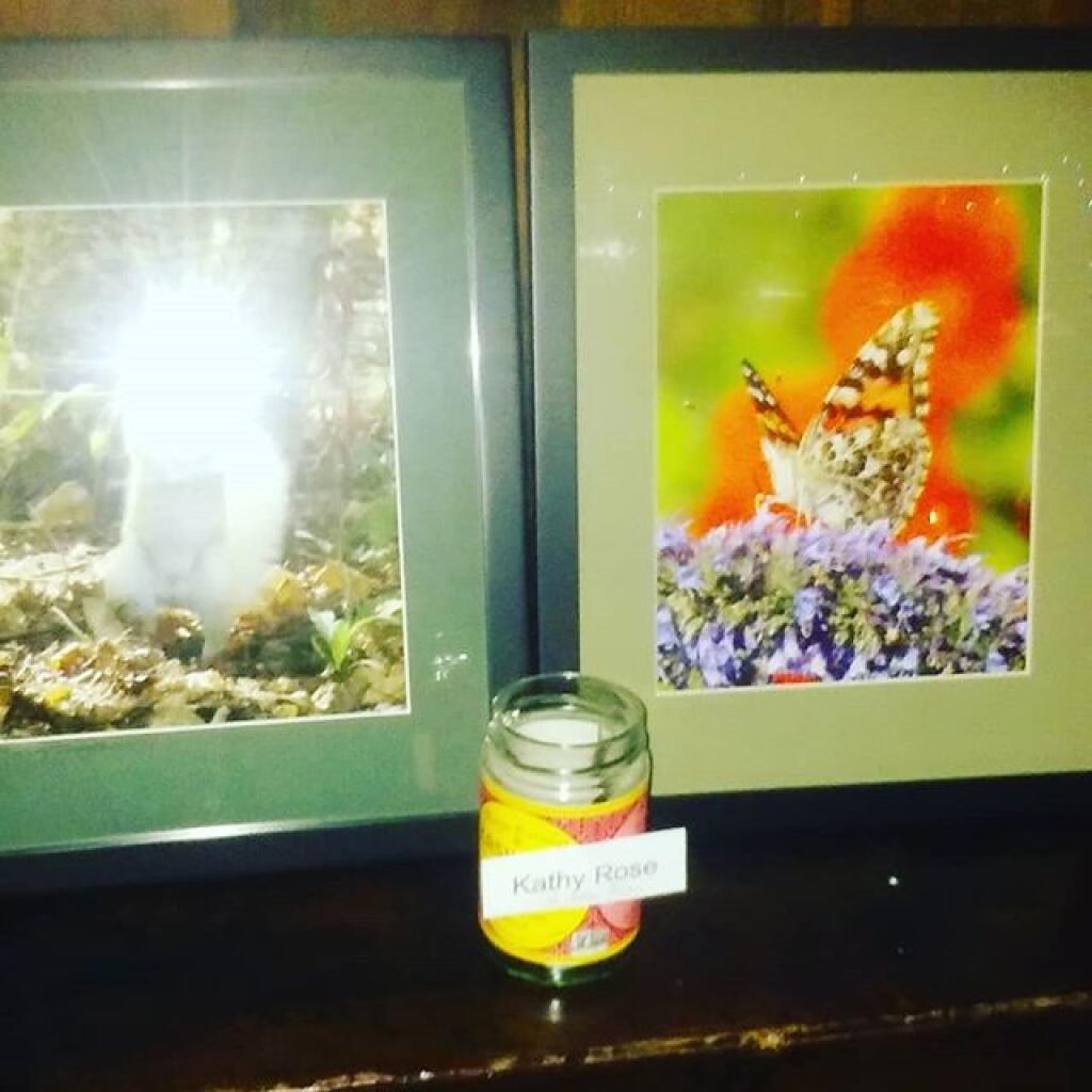
Photo: Pine Bush Raffle
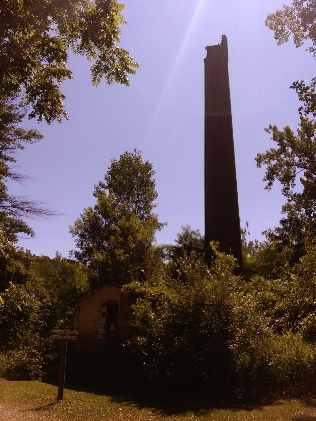
Photo: Kenka Mills Ruins
Photo: Mount Ginseng
Photo: Happy Pride Month 🏳️‍🌈
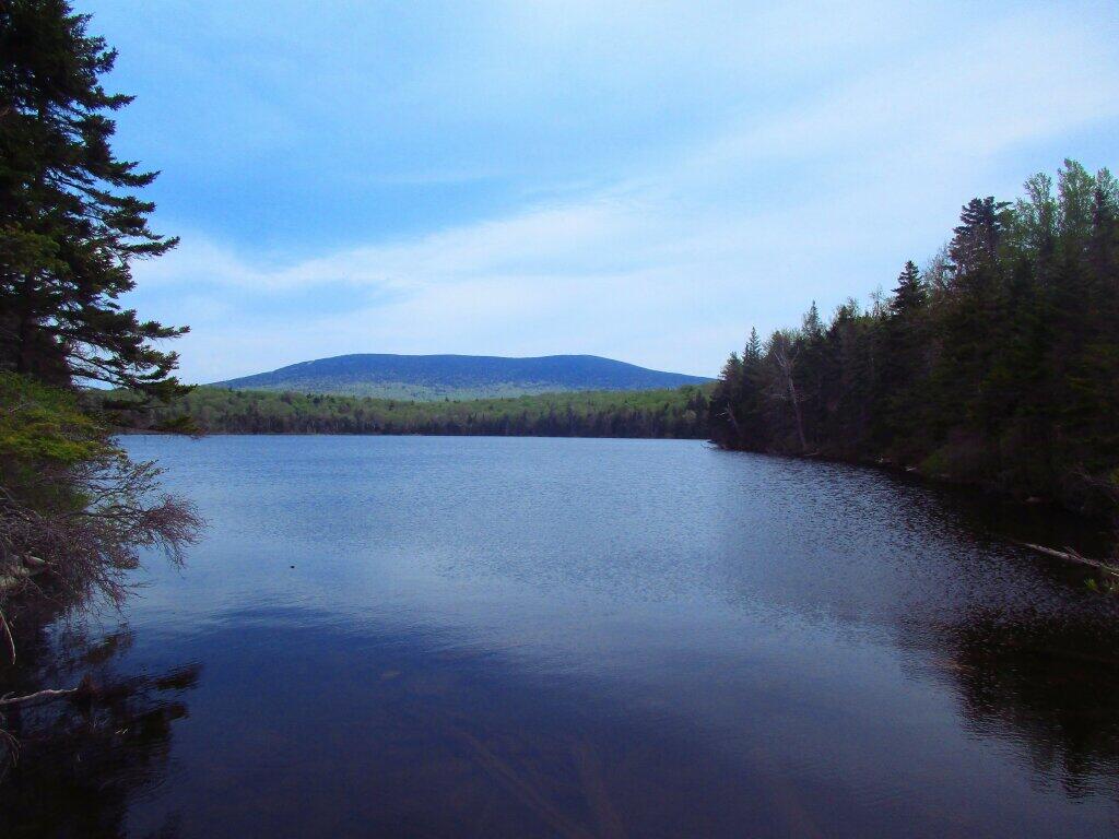
Photo: Stratton Pond
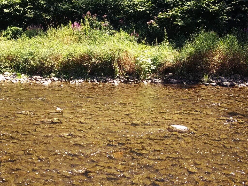
Photo: Nice Clear Water
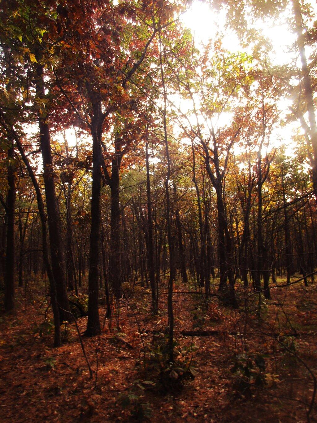
Photo: Burned Hardwood Section Reminds Me Of Allegheny Woods
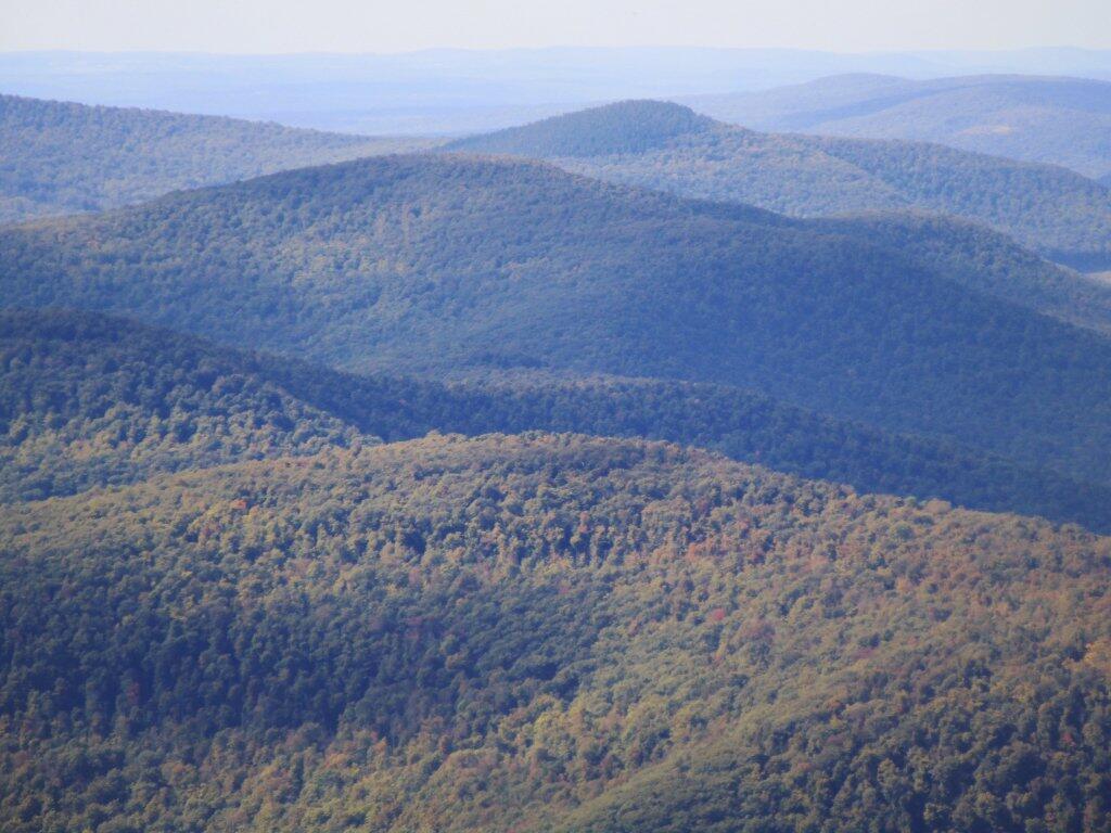
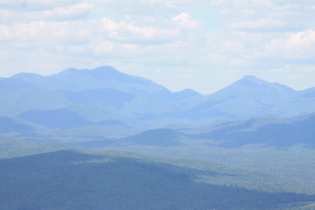
Photo: Peaks
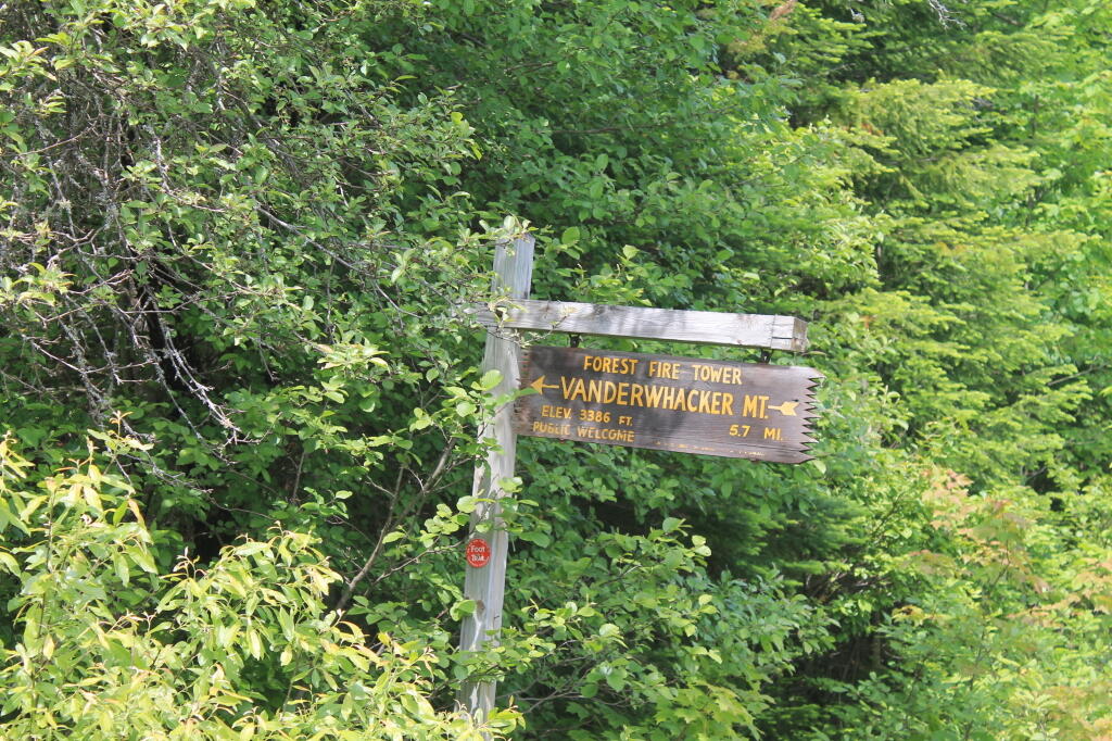
Photo: Firetower 5.7 mi away, if you walk

Leave a Reply

Your email address will not be published. Required fields are marked *