May 18, 2020 Night
Good evening! Mostly cloudy and 59 degrees in Delmar, NY. ☁ There is a north-northeast breeze at 5 mph. 🍃. The dew point is 44 degrees. The skies will clear tomorrow around noontime.
Kind of a busy day with work and stuff for Save the Pine Bush. 🌲🌳But it made the Monday go by quickly. Got home fairly late due to the work meeting and then I went for my evening walk. 🚶
Tonight will be partly cloudy 🌤, with a low of 46 degrees at 4am. Two degrees below normal, which is similar to a typical night around May 14th. North wind around 6 mph. In 2019, we had cloudy skies in the evening, which became mostly clear by the early hours of the morning. It got down to 49 degrees. The record low of 29 occurred back in 1981.
Tonight will have a Waining Crescent 🌘 Moon with 12% illuminated. The darkest hour is at 12:53 am, followed by dawn at 4:58 am, and sun starting to rise at 5:31 am in the east-northeast (62°) and last for 3 minutes and 16 seconds. Sunrise is 56 seconds earlier than yesterday. 🌄 The golden hour ends at 6:12 am with sun in the east-northeast (69°). Tonight will have 9 hours and 14 minutes of darkness, a decrease of one minute and 54 seconds over last night.
Tomorrow will be mostly sunny 🌞, with a high of 67 degrees at 2pm. Three degrees below normal, which is similar to a typical day around May 9th. East wind 7 to 10 mph. A year ago, we had mostly sunny skies. The high last year was 86 degrees. The record high of 91 was set in 1989. There was a dusting of snow in 1976.❄
Tomorrow should be a nice day for working outside. ☀ If I have some free time I want to hook up that junction / fuse box I got for the truck that will hopefully reduce the loose connections causing a voltage drop at times when the laptop is plugged in. 💻 Plenty of free solar power tomorrow.
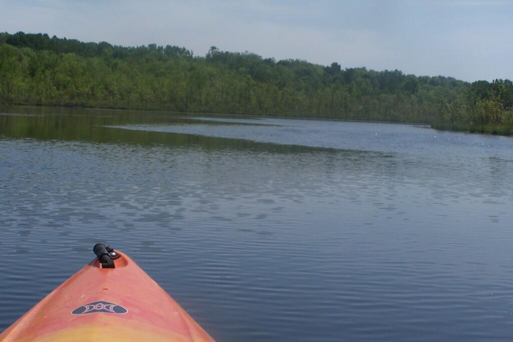
It looks like I’ll have to work on Memorial Day which further reduces the likelihood of getting out of town this weekend. ⛺ But maybe next weekend. I could always work from camp if I go somewhere I have phone service like Duck Pond in Schoharie or Perkins Clearing. It’s good though that work has picked up a lot. I’m hoping I can roll over the time I would have had off for Memorial Day Weekend and extend it for Independence Day Weekend.
In four weeks on June 15 the sun will be setting in the west-northwest (303°) at 8:35 pm,🌄 which is 20 minutes and 51 seconds later then tonight. In 2019 on that day, we had partly cloudy, rain showers and temperatures between 81 and 54 degrees. Typically, you have temperatures between 78 and 57 degrees. The record high of 96 degrees was set back in 1988.
Looking ahead, Memorial Day 🇺🇸 is in 1 week, June 🍹 is in 2 weeks and Average High is 80 🏖 is in 5 weeks.
It looks hot next week. ☀ I’ll have to get out the fan and prepare to work down by the river maybe with a fishing pole in one hand. 🎣 I learned how to do the Zoom background thing, so now when I have a meeting with a client I can throw on a dress shirt and set the background and look like I’m in the office 🏢 while I’m in shorts next to the river. Or the Adirondacks. 🗻 Not sure if the potholers are an option for next weekend as it sounds like they are still rebuilding the road.
🇺🇸🦅Only 4 days remain until the start of Memorial Day Weekend!🦅🇺🇸


")


