You smell cow shit… I smell a working land. 🐮
You smell cow shit… I smell a working land. 🐮

Almost Taste This Picture

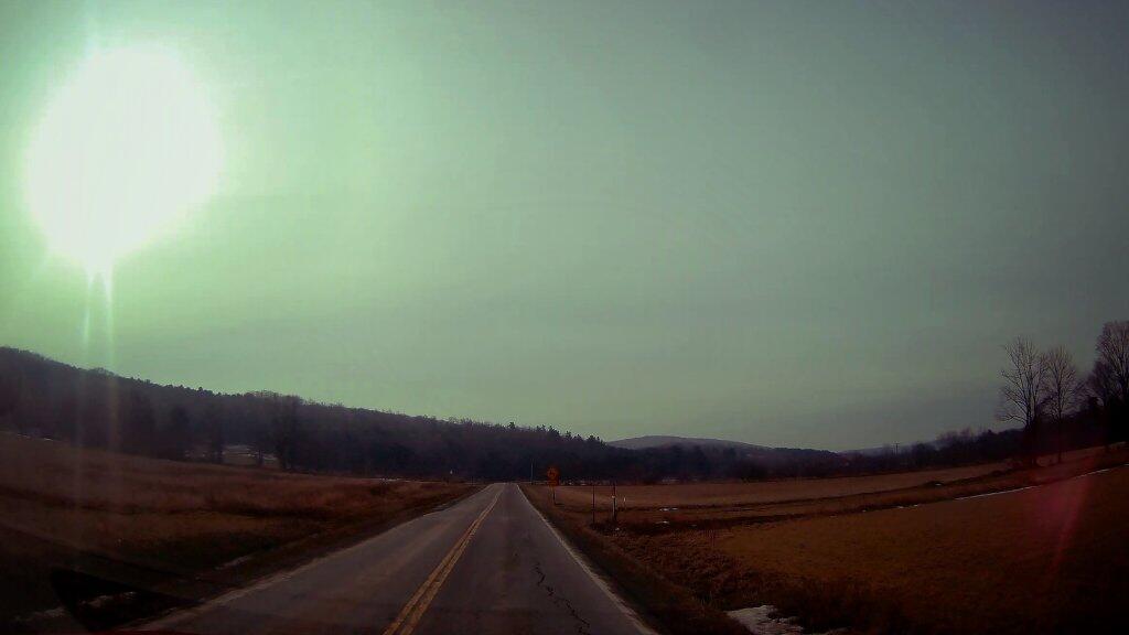
A few weeks back I was driving through Madison County smelling what you normally smell in farm country – dirt, mud, manure and fermented grain. Farmers hauling out their hundredth load of manure and bed pack from the barnyard, recycling the rich organic matter back into the earth so it can grow more corn and silage, more hay and alfalfa for high quality forages that power that cows thar make the milk and the steaks and the beef we all enjoy.

Dairy country has its smells especially during the fall and spring when fallow fields are rejuvenated with nutrients which help them grow. Fresh slurry can particularly tickle ones nose. But the smells of the working land represents a rural life sustained, a land put to use, a healthy and diverse habitat that remains largely open and green.

Map: Land Resource Regions (Agriculture)
Map: Major Land Resource Regions
Map: Major Land Resource Regions with Major Dense Cities Overlayed
SVGZ Graphic: 2012 Plant Hardiness Zones in NYS
SVGZ Graphic: Agricultural Land Cover by NYS Watershed Subregion
SVGZ Graphic: Agriculture, forestry, and fishing, value added (% of GDP)
SVGZ Graphic: Change in Agricultural Land Use, 2001-2019
SVGZ Graphic: Change in Plant Hardiness Zones, 2012 to 2023 in New York State
SVGZ Graphic: How Much of a State's Land is Farmed?
SVGZ Graphic: Plant Hardiness Zones 2023
SVGZ Graphic: Square Miles, Cultivated Crops
SVGZ Graphic: US Turkey Production
Thematic Map: 2020 Major Farm Crops Grown in New York
Thematic Map: 2022 Lands Planted with Corn in NYS
Thematic Map: Agriculture in New England
Thematic Map: Agriculture in New York
Thematic Map: Farm Land by New York State County in 2021
Thematic Map: Farmland in NY
Thematic Map: Forest Cover of Moose River Plains
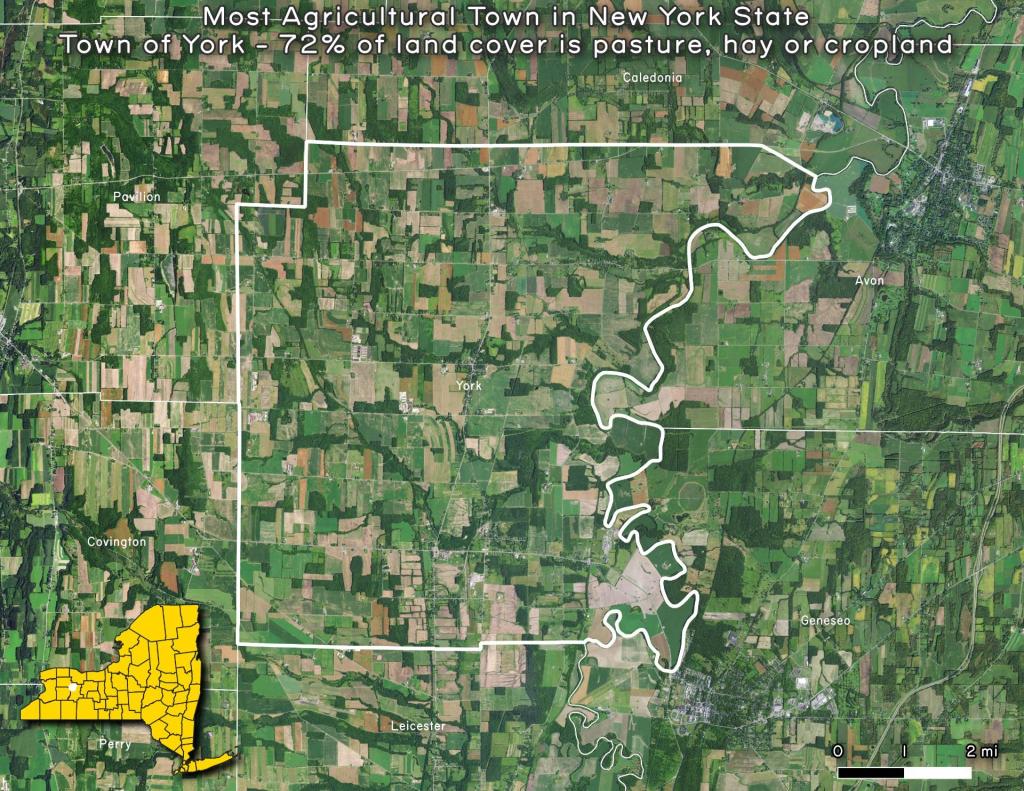
Thematic Map: Most Agricultural Town in New York State
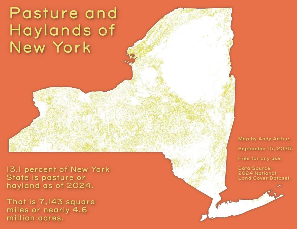
Thematic Map: Pasture and Haylands of New York
Thematic Map: Percent of Town Landmass Used for Agriculture
Thematic Map: Percent of Town Landmass Used for Crops
Thematic Map: The Barns of Schoharie County
Thematic Map: The fertile lands of the Black River Valley are Surounded by Tug Hill and Adirondacks
Thematic Map: Town Landmass Used for Pasture and Hay