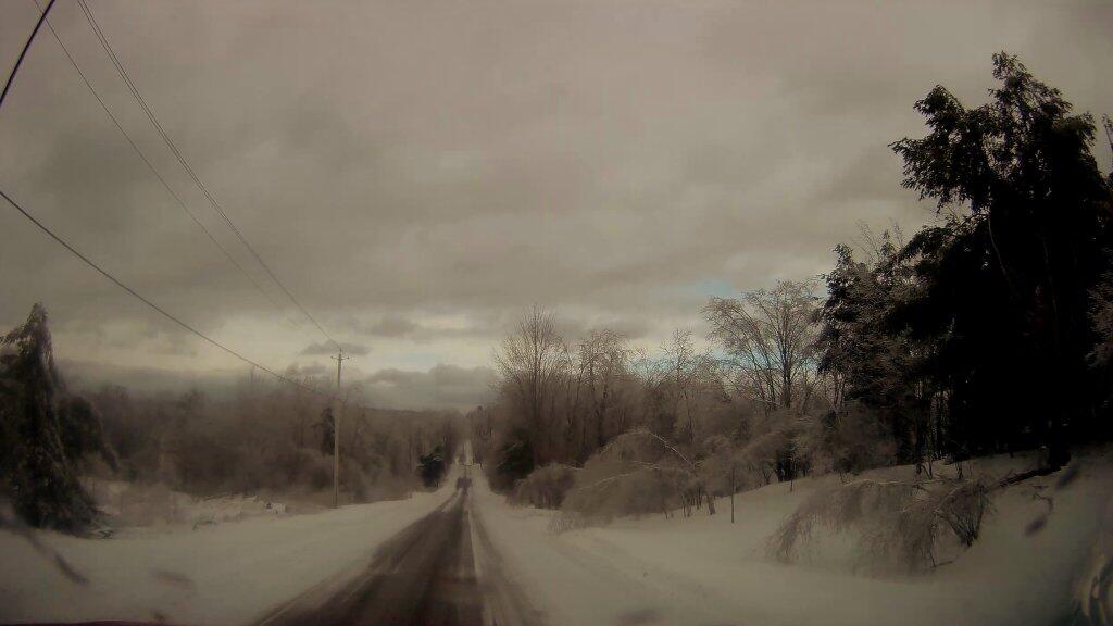
Winter continues on April 27th

I bet that sucks for all the Central NY farmers wanting to get out and turn the dirt without sinking out of site in the mud.

Locally there was an inch of snow on the cars but with the rain this morning and the warm ground none remains on the grass locally.

Map: Alma Pond
Map: Dobbins Memorial State Forest
Map: Little John Wildlife Management Area
Map: Otter Lake
Map: South Hill State Forest (Oneida 23)
Map: Summer Hill State Forest
Map: West Parishville State Forest
SVGZ Graphic: albany-snow-depth
SVGZ Graphic: college-rate
SVGZ Graphic: december-holidays
SVGZ Graphic: ht2025
SVGZ Graphic: lt2025
SVGZ Graphic: Places Named Bethlehem
SVGZ Graphic: Towns with Most Similiar Land Cover to the Town of Bethlehem
Terrain Map: Happy World Milk Day!
Photo: Vanderwhacker Firetower Trail Sign
Photo: Dolly Sods Road
Photo: Harris Lake
Photo: Catharine Creek Marsh - Wide Screen
Photo: Kipp Hill From Pratt Rock
Photo: Entering The Lye Brook Wilderness
Photo: Low moisture corn 🌽 along Mile Strip Road
Photo: Cheif Watonagh
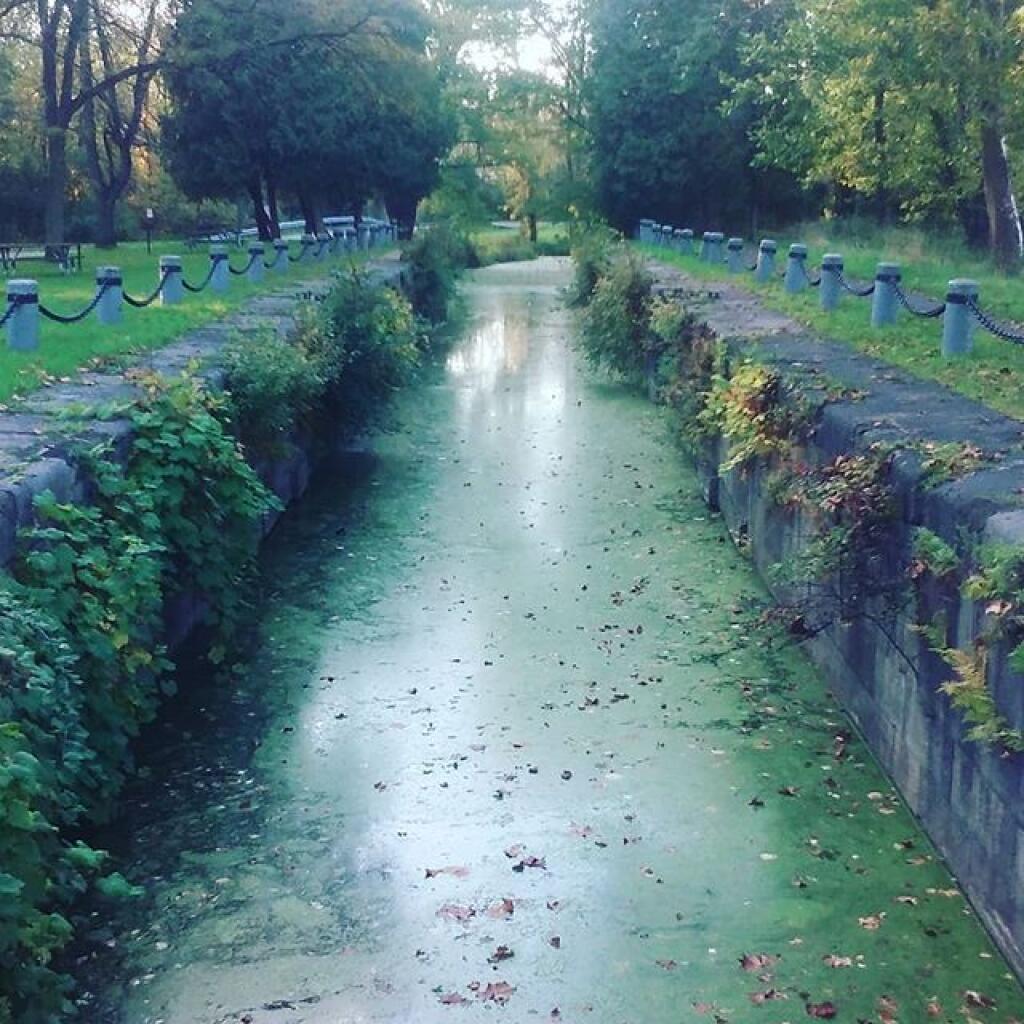
Photo: Part Of The Old  Crooked Lake Canal
Photo: Shit Ton Of Moose Shit On Lye Brook Trail

Leave a Reply

Your email address will not be published. Required fields are marked *