Cook Hill

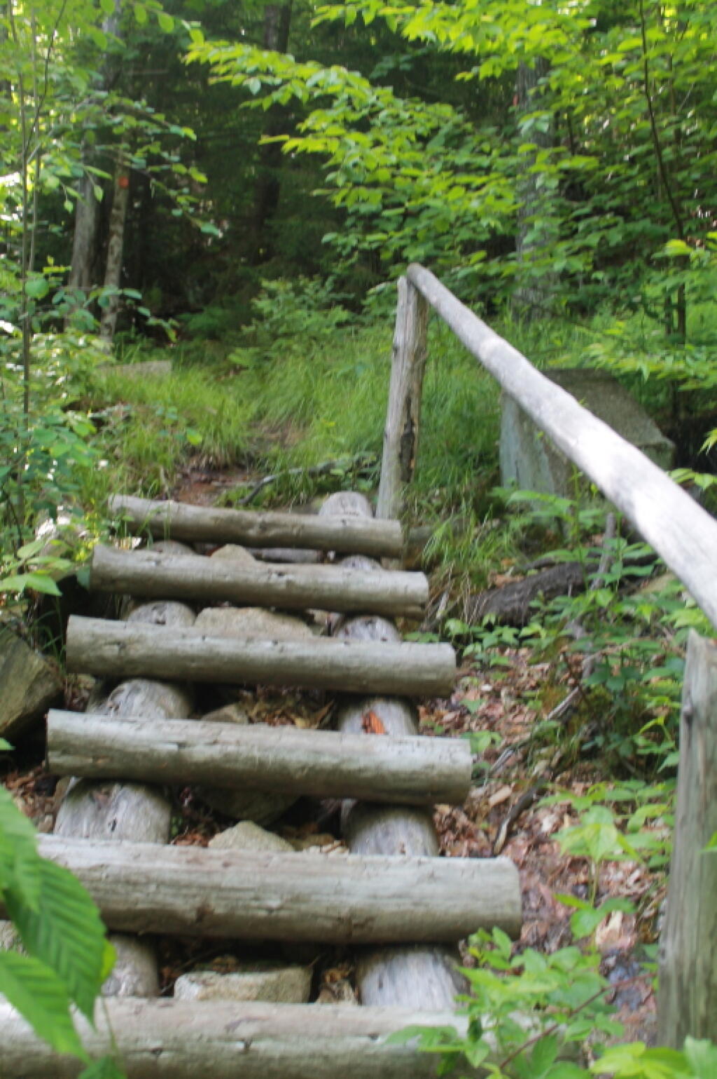
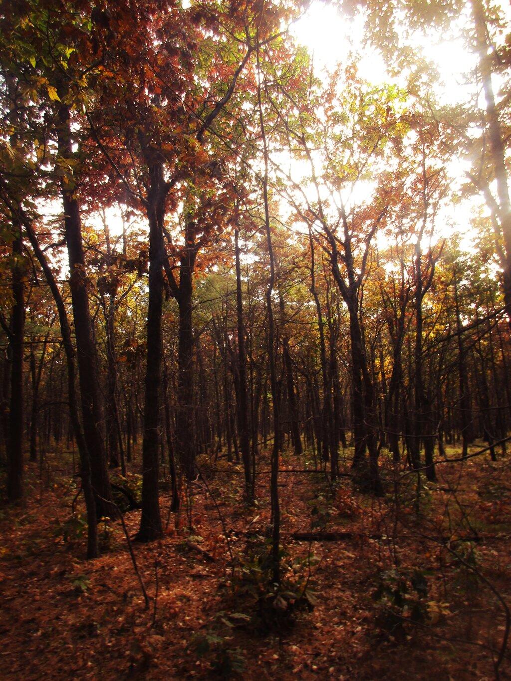
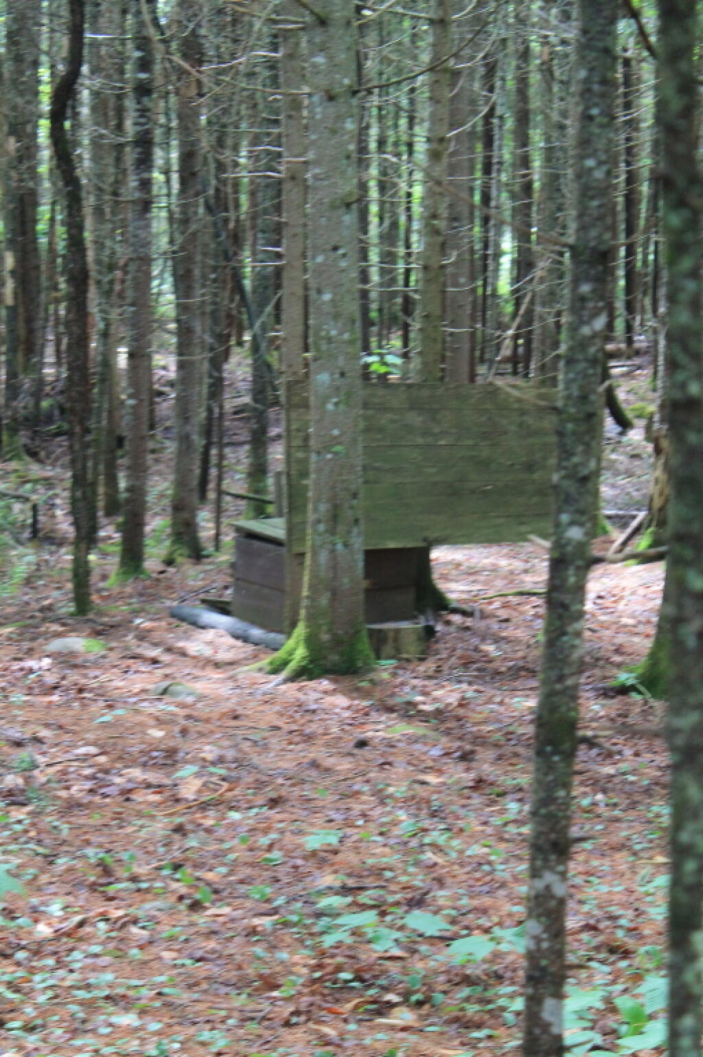
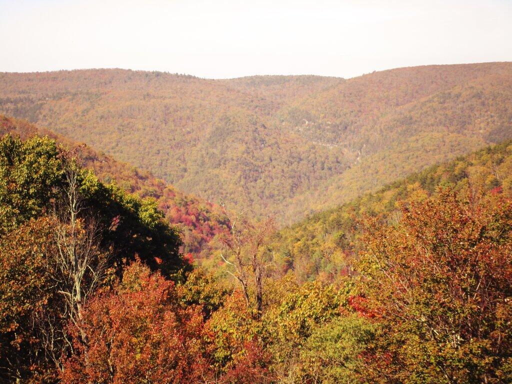
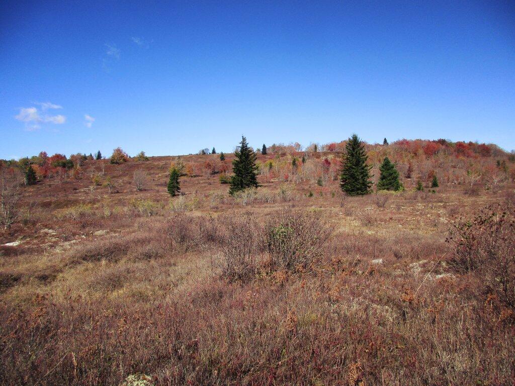
Part of my walk today was up on Cook Hill in the back part of Partridge Run. 🌲🌳🌳

One of the newer state acquisitions up here – maybe thirty years ago, it’s full of trash species, namely black loctus and brambles. Maybe it’s intentional managed that way for the grouse but even for them it doesn’t seem like the kind of land they’d like.

Full of ticks too I’m sure. I’ll have to make sure to check myself over when I get home. Maybe shower too. Hate to get Lyme Disease during the middle of the pandemic, especially as I don’t have internet at home for telemedicine. And I know when I have land, if it comes with trash forest like that, they’re going to be a lot of chain saw action for firewood and some big ol brush pile burnings.

Map: Alma Pond
Map: Dobbins Memorial State Forest
Map: Little John Wildlife Management Area
Map: Otter Lake
Map: South Hill State Forest (Oneida 23)
Map: Summer Hill State Forest
Map: West Parishville State Forest
SVGZ Graphic: albany-snow-depth
SVGZ Graphic: college-rate
SVGZ Graphic: december-holidays
SVGZ Graphic: ht2025
SVGZ Graphic: lt2025
SVGZ Graphic: Places Named Bethlehem
SVGZ Graphic: Towns with Most Similiar Land Cover to the Town of Bethlehem
Terrain Map: Happy World Milk Day!
Photo: Colors
Photo: Trees Along The Lake
Photo: Through a Window
Photo: Run Down Campsite Along Boreas River and NY 28
Photo: Keener Hill Road
Photo: Wetlands Across the Canal
Photo: Mud Lock of the Old Oswego Canal
Photo: Evening at Catharine Creek Marsh
Photo: Farm On County Route 32
Photo: Quite Dry

Leave a Reply

Your email address will not be published. Required fields are marked *