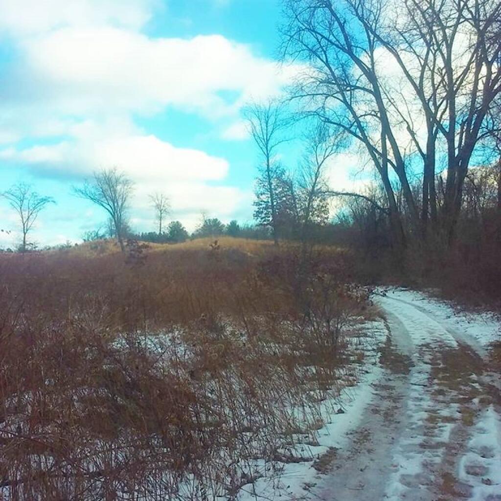
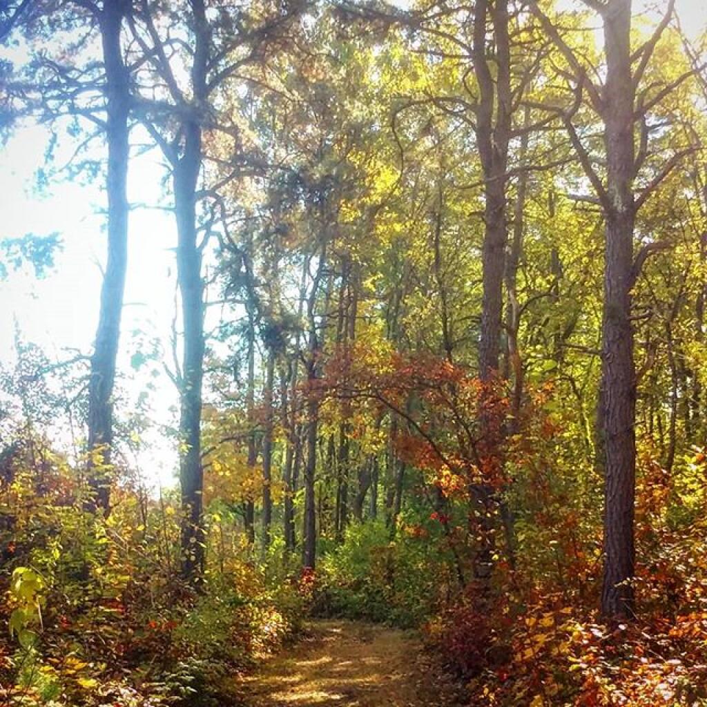
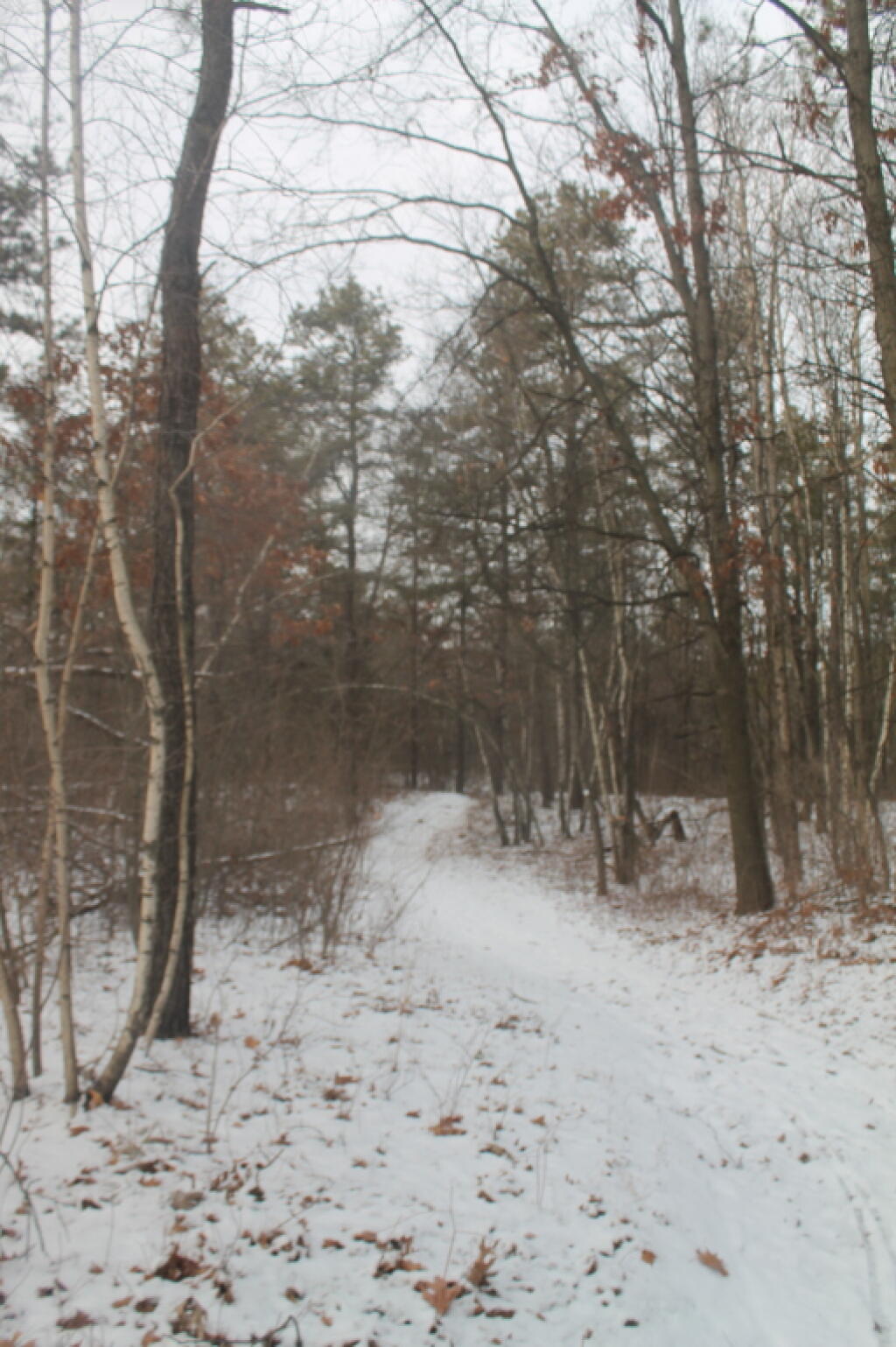
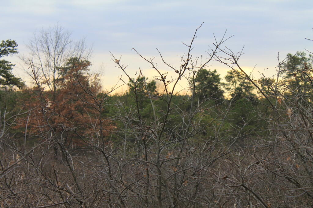
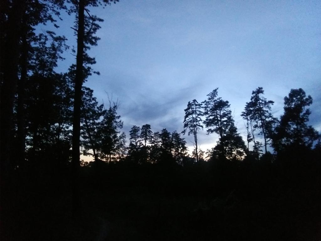
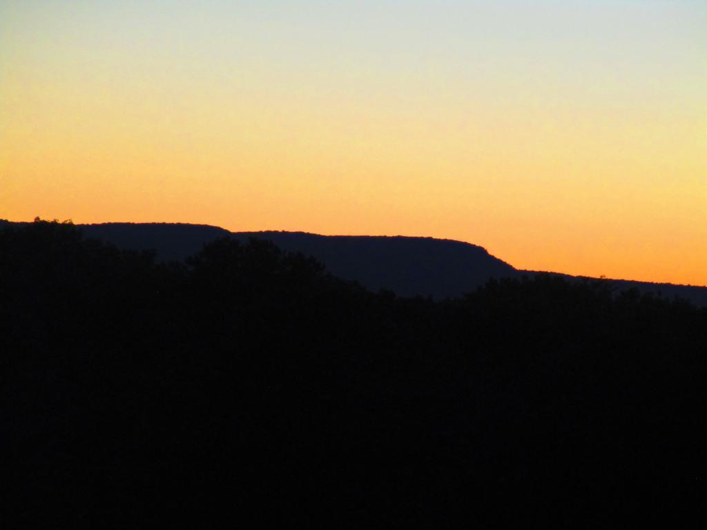
Definitely a nice afternoon hiking in the Albany Pine Bush

Definitely a nice afternoon hiking in the Albany Pine Bush… 🌲🌲🌲

It could be a little warmer with the wind but still quite pretty. Microspikes are good with the ice on the trail in parts. The recently restored part off Willow Street and the Great Dune is beautiful!

SVGZ Graphic: Albany Pine Bush Study Area - Population Density
SVGZ Graphic: Land Cover in the Southern Pine Bush - 1985 through 2023
SVGZ Graphic: Percent Developed, Taxable Properties in Albany Pine Bush
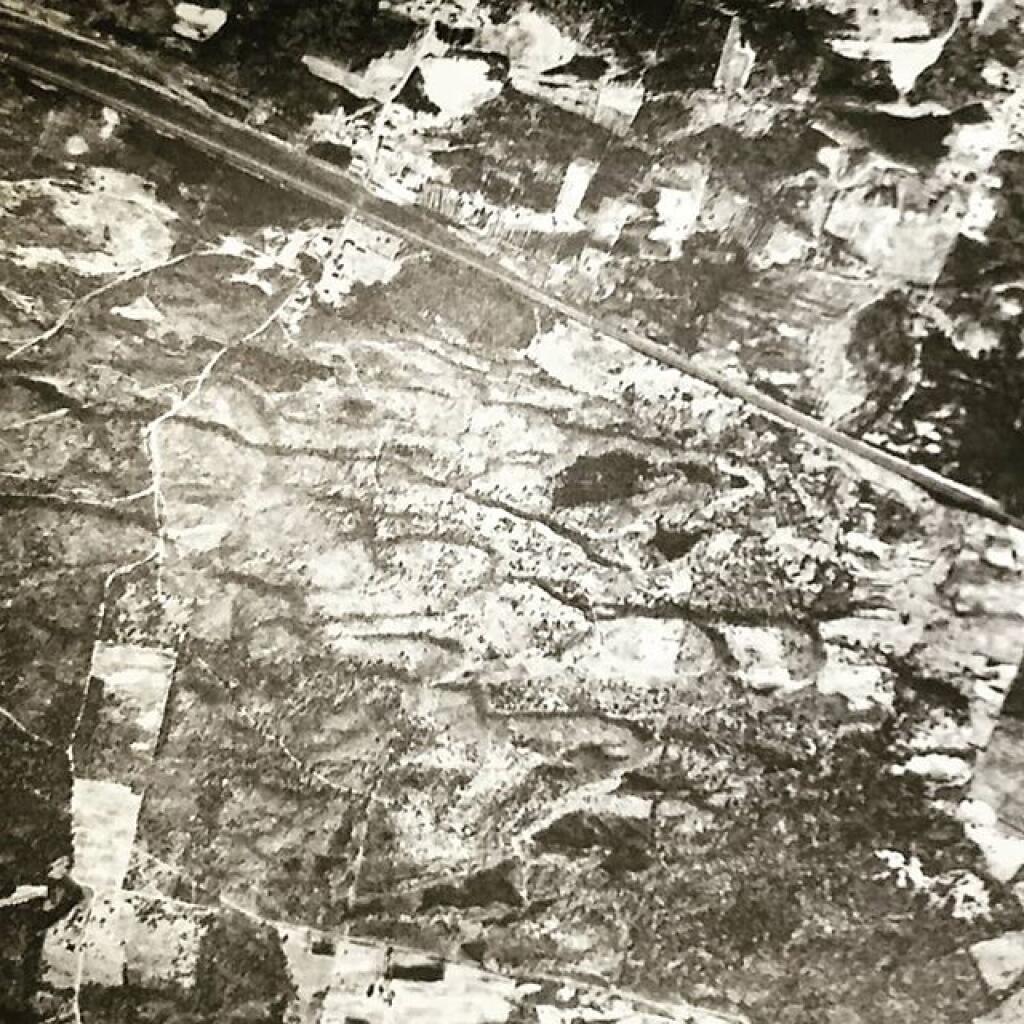
Terrain Map: Albany Pine Bush 1952 High Resolution
Terrain Map: Albany Pine Bush Study Area 1893
Terrain Map: Albany Pine Bush Trails Today vs. Historical Sand Roads
Terrain Map: Blueberry Hill
Terrain Map: Hunger And Kiakout Kill
Terrain Map: Kings Road Dunes
Terrain Map: LiDAR – Crossgates Maul And Blueberry Hill
Terrain Map: Pine Bush East Barrens Soil Map
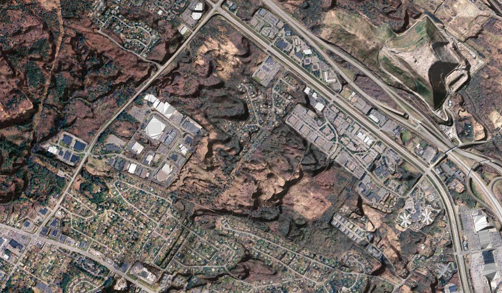
Terrain Map: Pine Bush Lidar with NAIP Imagery
Terrain Map: White Pines Along the Kiakout Are More then 100 Foot
Thematic Map: Albany Pine Bush Population Changes - 2000 through 2020
Thematic Map: Land COver in Albany Pine Bush, 1985-2023
Thematic Map: Natural Communities in Albany Pine Bush.jp
Thematic Map: Pine Bush 1927
Thematic Map: Sunset Throughout the Year from Overlook Dune
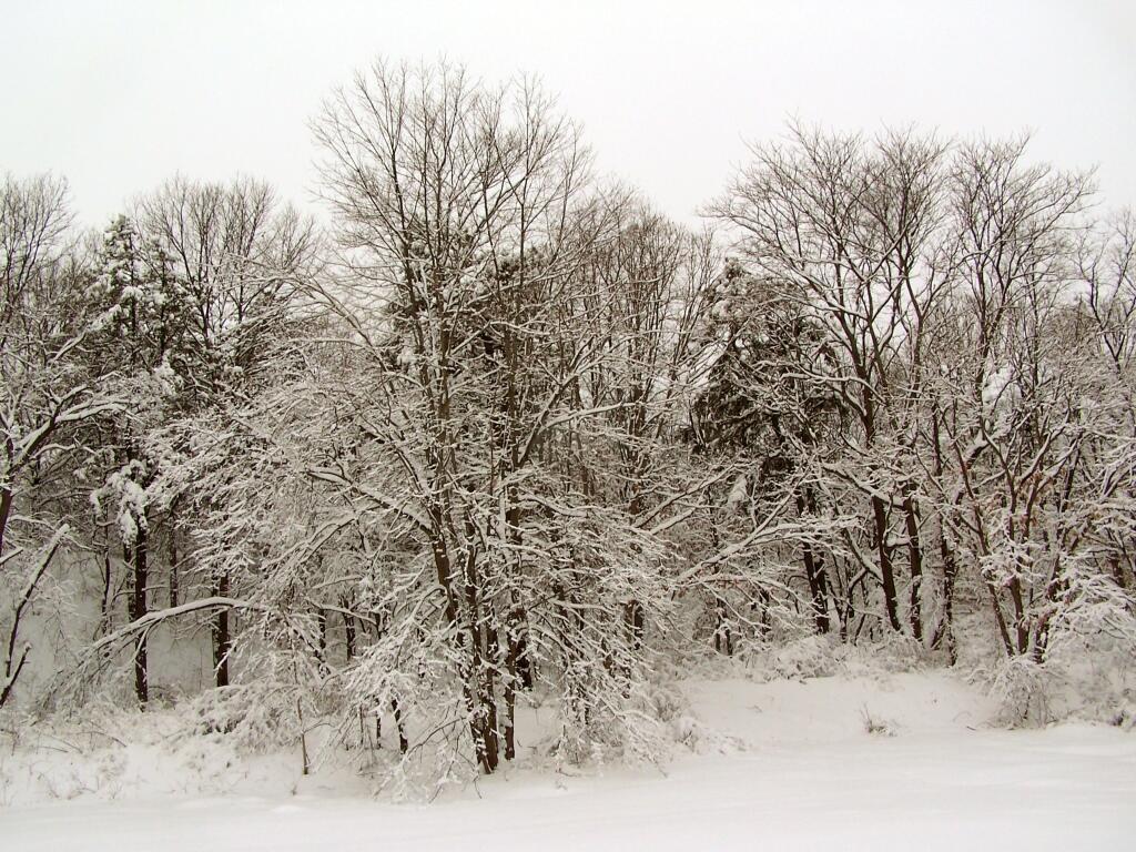
Photo: Winter Wonderland
Photo: White Trail
Photo: Bend
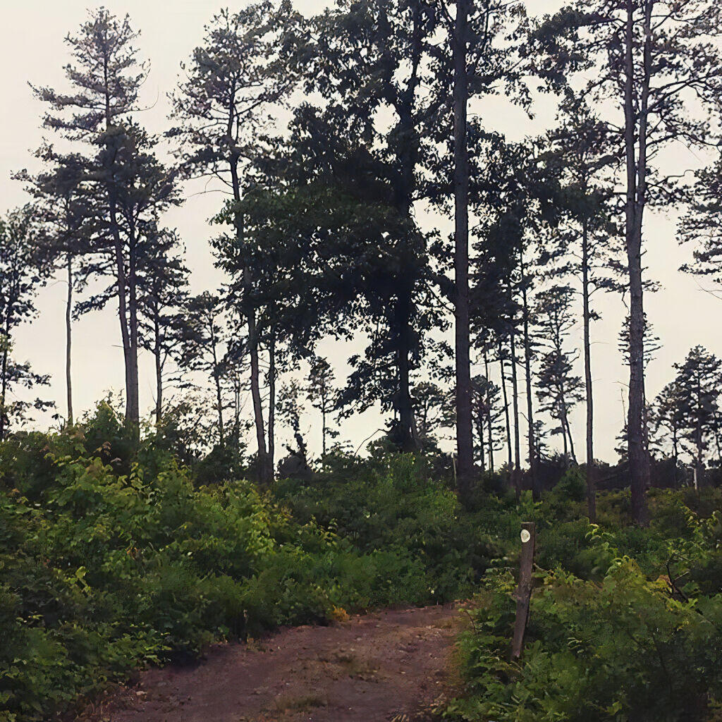
Photo: Nice Stand of Pitch Pines
Photo: Walk
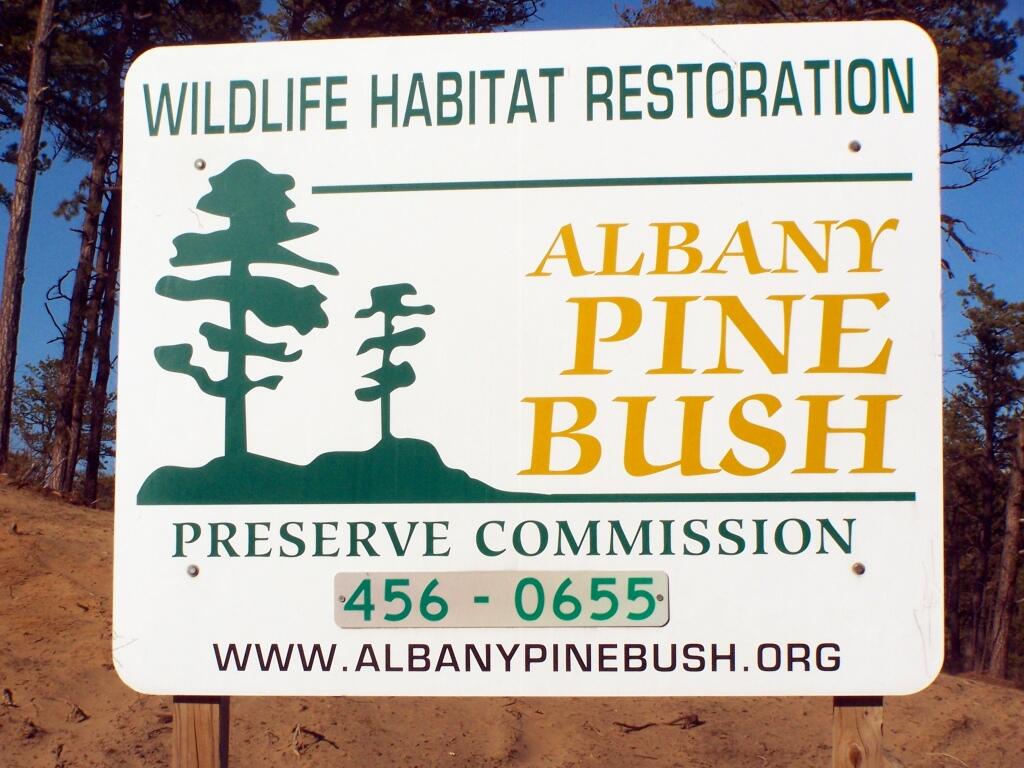
Photo: Billboard Advertising Wildlife Habitat Restoration
Photo: Into the Forbidden Zone
Photo: East Barrens 1
Photo: Dark so quickly
Photo: Settles Hill

Leave a Reply

Your email address will not be published. Required fields are marked *