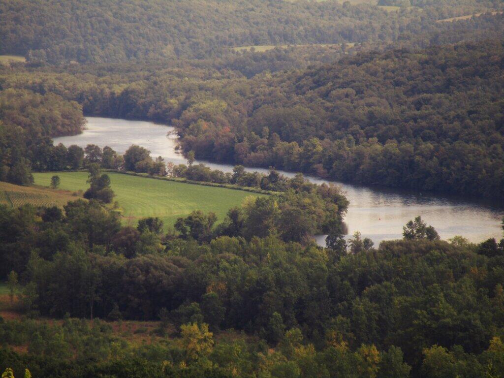
Erie Canal and Mohawk River
Driving back from the Adirondacks last weekend, I got thinking about disruptive the Erie Canal must be on the ecology of the Mohawk River. The river is dammed up into long pools for a good portion of the summer, raising the levels much higher then normal, pushing water into what once was just the flood plain in the river. Come the winter months, they raise the damns, leaving high and dry shorelines, and only a narrow path for the river except after heavy rains and spring-time flooding.