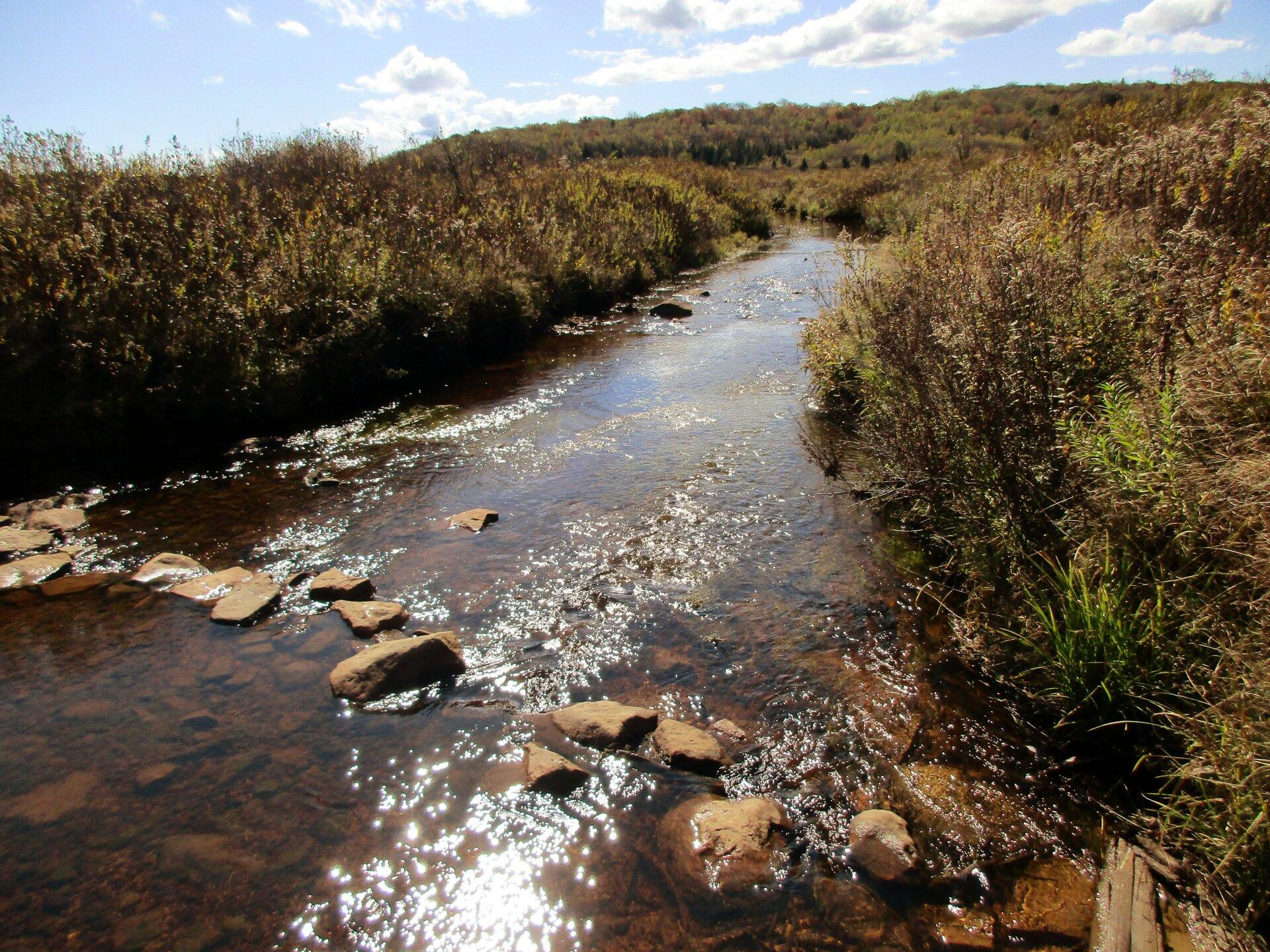
Red Creek Crossing 🖼️
Download a High Resolution JPEG Image of the Red Creek Crossing or an Adobe Acrobat Printable PDF of the Red Creek Crossing.
Red Creek Crossing ...
Down by the Red Creek, where much of the rain collects from storms hitting the Allegheny Front it can be very soggy, even when the rest of the Sods are super dry. Like all federal wilderness areas, bridges are not allowed, so streams are crossed by stones.
Taken on Friday October 11, 2019 at Dolly Sods Wilderness.
More about Dolly Sods Wilderness...
The 17,371 acre Dolly Sods Wilderness in the Monongahela National Forest is part of the National Wilderness Preservation System. It is located in Grant, Randolph, and Tucker Counties, West Virginia. The Dolly Sods Wilderness contains much of the Red Creek drainage and contains bog and heath eco-types, more commonly typical to southern Canada. Elevations range from 2,500 to over 4,700 feet. https://www.fs.usda.gov/recarea/mnf/recarea/?recid=12366


