The joys of vacation planning

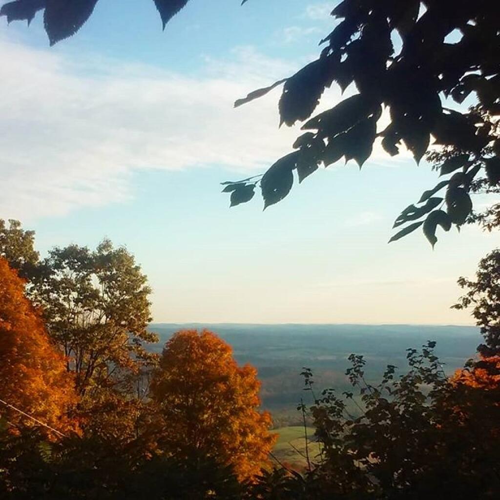
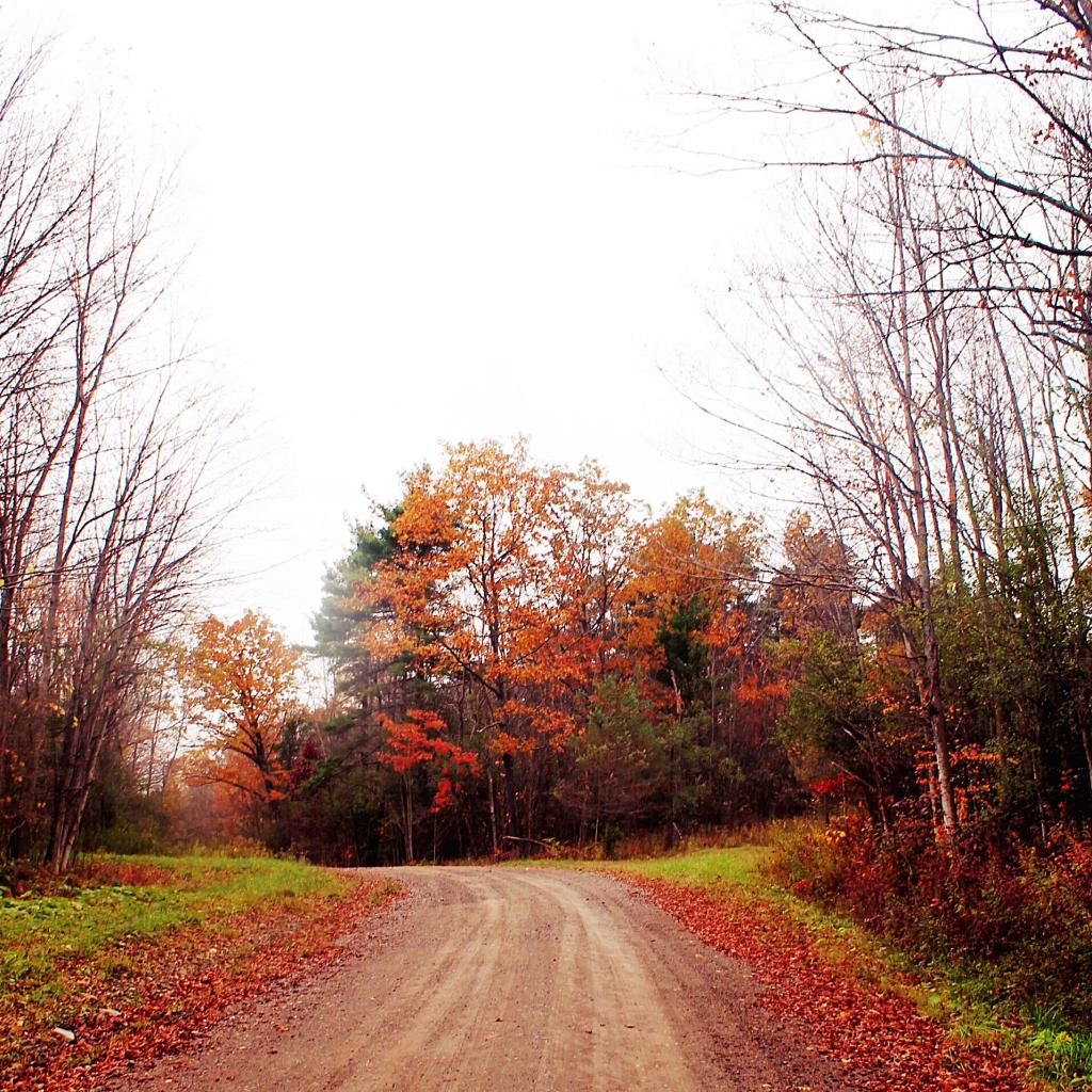
Rain, flooding, droughts and burn bans. Cold and rainy weather. Severe fog. Nice days. Good foliage, dried out foliage, green trees. What route do I take? I’ve probably spent six of the past 12 hours on this dilemma.

Map: Alma Pond
Map: Dobbins Memorial State Forest
Map: Little John Wildlife Management Area
Map: Otter Lake
Map: South Hill State Forest (Oneida 23)
Map: Summer Hill State Forest
SVGZ Graphic: albany-snow-depth
SVGZ Graphic: college-rate
SVGZ Graphic: december-holidays
SVGZ Graphic: ht2025
SVGZ Graphic: lt2025
SVGZ Graphic: Places Named Bethlehem
SVGZ Graphic: Towns with Most Similiar Land Cover to the Town of Bethlehem
Terrain Map: Happy World Milk Day!
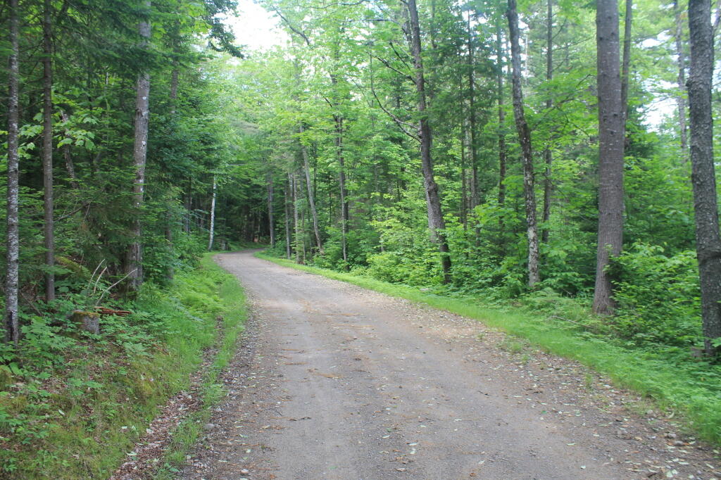
Photo: Newcomb Lake Road Trail
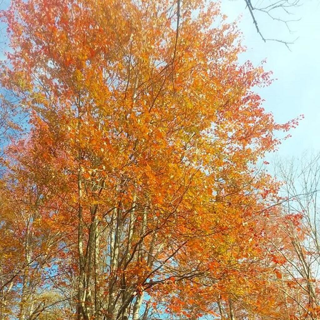
Photo: Autumn
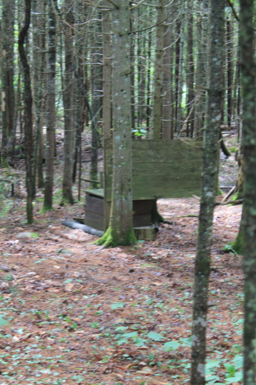
Photo: Outhouse
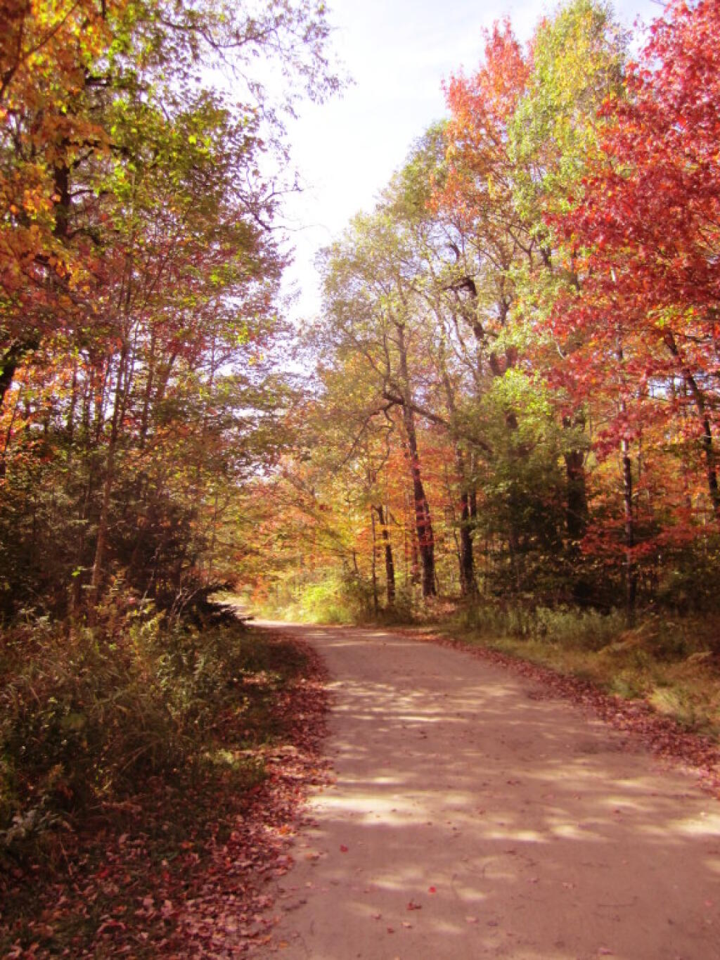
Photo: Scenic Otter Creek Road
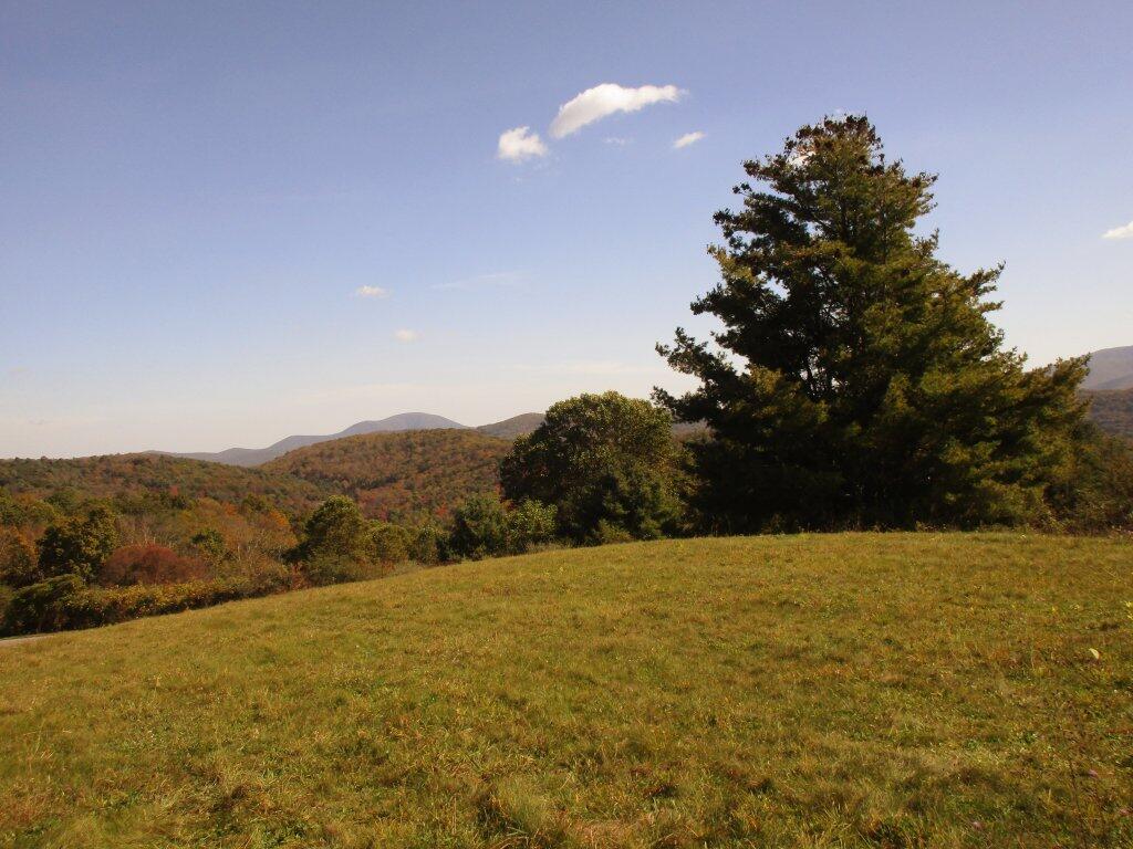
Photo: Stopping Along The Parkway
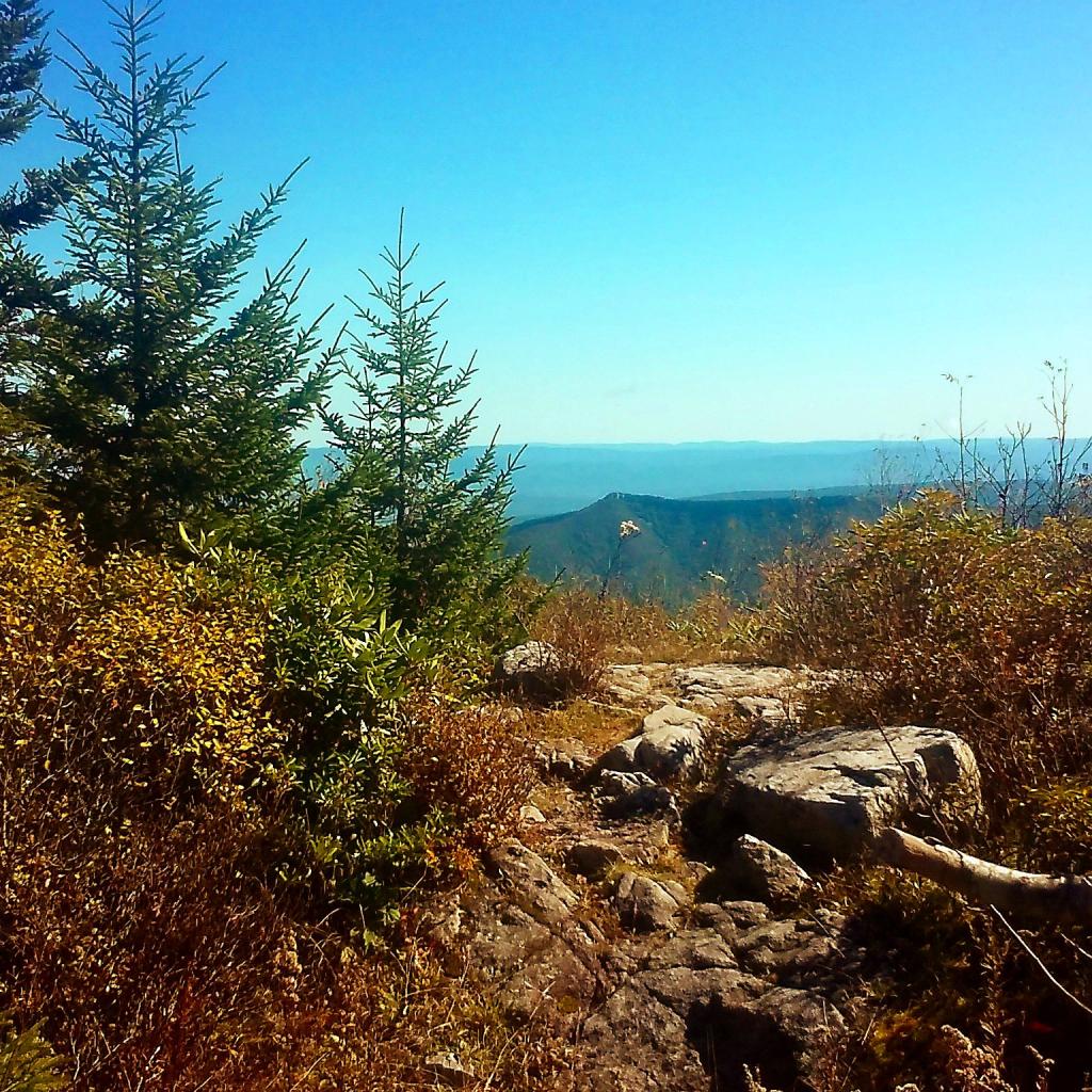
Photo: Point
Photo: Duelly noted
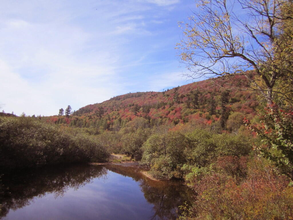
Photo: Summer Stream
Photo: Northview
Photo: Bully Hill Road

Leave a Reply

Your email address will not be published. Required fields are marked *