September 23, 2019 Night
Good evening! Humid with thunderstorms and 73 degrees in Delmar, NY. ☁ I decided to stay home and get a few things done. It was also raining hard for a while. There is a west breeze at 11 mph. 🍃. The dew point is 63 degrees. 0.13 inches of rain is expected before it ends tomorrow around 1 am.
Tonight will have showers and thunderstorms likely before 2am, then isolated showers between 2am and 3am. Cloudy, then gradually becoming partly cloudy 🌧, with a low of 60 degrees at 6am. 12 degrees above normal, which is similar to a typical night around August 20th. Maximum dew point of 63 at 9pm. West wind 9 to 11 mph. Chance of precipitation is 60%. New rainfall amounts between a tenth and quarter of an inch, except higher amounts possible in thunderstorms. In 2018, we had cloudy skies in the evening, which became mostly clear by the early hours of the morning. It got down to 46 degrees. The record low of 27 occurred back in 1963.
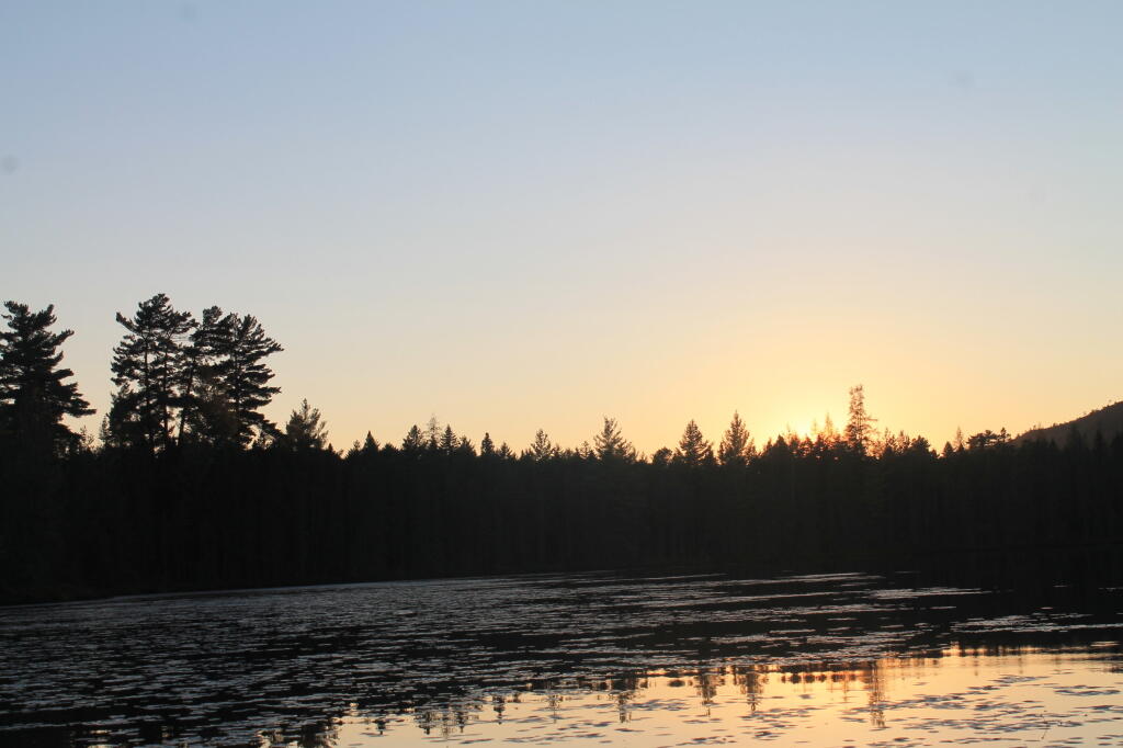
Tonight will have a Waning Crescent Moon 🌘 with 18% illuminated. The moon will rise at 1:19 am. The New Moon is on Friday night with mostly clear skies. The Hunter Moon 🌝 is on Saturday, October 12th. The sun will rise at 6:43 am with the first light at 6:15 am, which is one minute and 5 seconds later than yesterday. 🌄 Tonight will have 11 hours and 52 minutes of darkness, an increase of 2 minutes and 52 seconds over last night.
Tomorrow will be scattered showers, mainly between 9am and 1pm. Mostly cloudy 🌦, with a high of 67 degrees at 3pm. Two degrees below normal, which is similar to a typical day around September 28th. Much cooler tomorrow. Maximum dew point of 57 at 6am. Light and variable wind becoming west 10 to 15 mph in the afternoon. Chance of precipitation is 30%. New precipitation amounts of less than a tenth of an inch possible. A year ago, we had mostly sunny skies in the morning with a few breaks of sun the afternoon. The high last year was 63 degrees. The record high of 90 was set in 2017.
Got my camping gear put away. ⛺ I know in a week I’ll need it again but first I want to get things well organized before I leave for vacation. I don’t want to have to dig around for missing equipment during camping or not have the gear I need.
Continuing to go through my maps and studying for my road trip. Car 🚙 It is super obnoxious that there is no one single map of the George Washington National Forest. You can buy small National Geographic maps but no official or unofficial overview map exists. 🗾 The Monongahela National Forest in contrast has a very excellent map, well worth the $14 online or $10 at the Forest Service office. It’s detailed but easy to read. Very talented geographer made it up. It’s also a work of the federal government so you can freely copy and print it but the official version is on water proof paper. There is also a Jefferson National Forest map but that one is not waterproof paper and the design is lower quality.
In four weeks on October 21 the sun will be setting at 6:04 pm,🌄 which is 47 minutes and 19 seconds earlier then tonight. In 2018 on that day, we had cloudy and temperatures between 48 and 35 degrees. Typically, you have temperatures between 58 and 38 degrees. The record high of 81 degrees was set back in 1979.
Looking ahead, Columbus Day 🛥️ is in 3 weeks, Average High is 55 🍂 is in 5 weeks, Veterans Day 🇺🇸 is in 7 weeks, Cyber Monday 🛍️ is in 10 weeks, First Sunday of Advent ✝️ is in 10 weeks, Earliest Sunset of the Year ⌛️ is in 11 weeks, Festivus 🍖 is in 3 months and National Cheese Lovers Day 🧀 is in 4 months.


")


