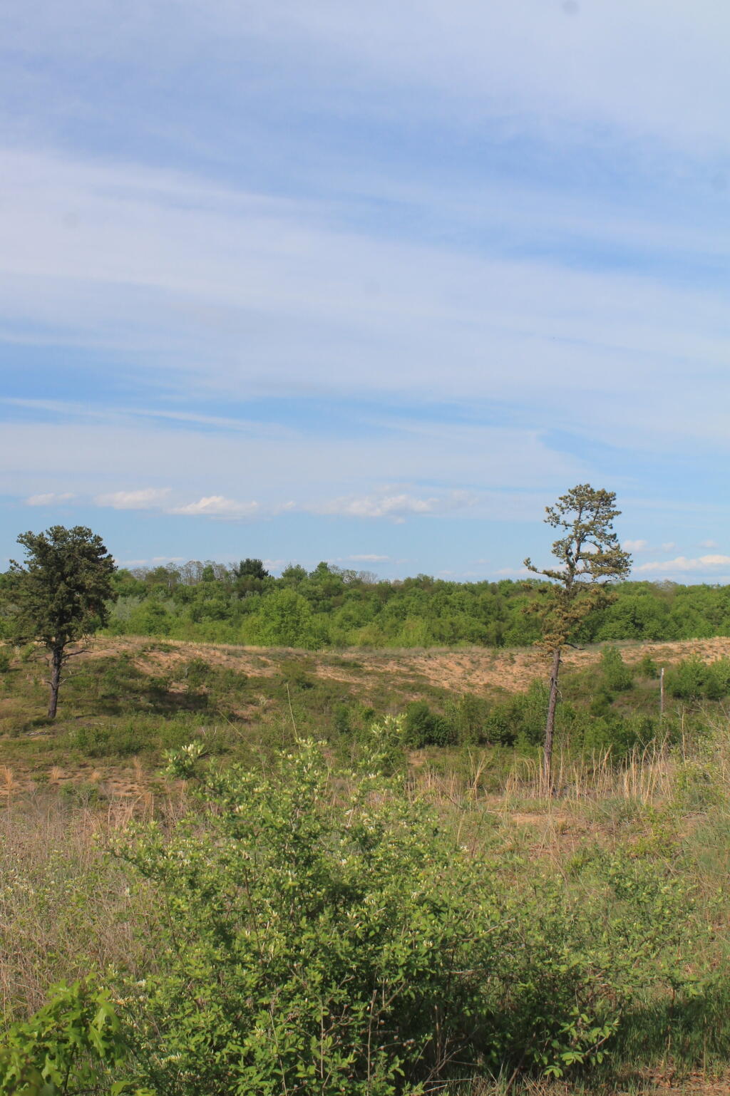
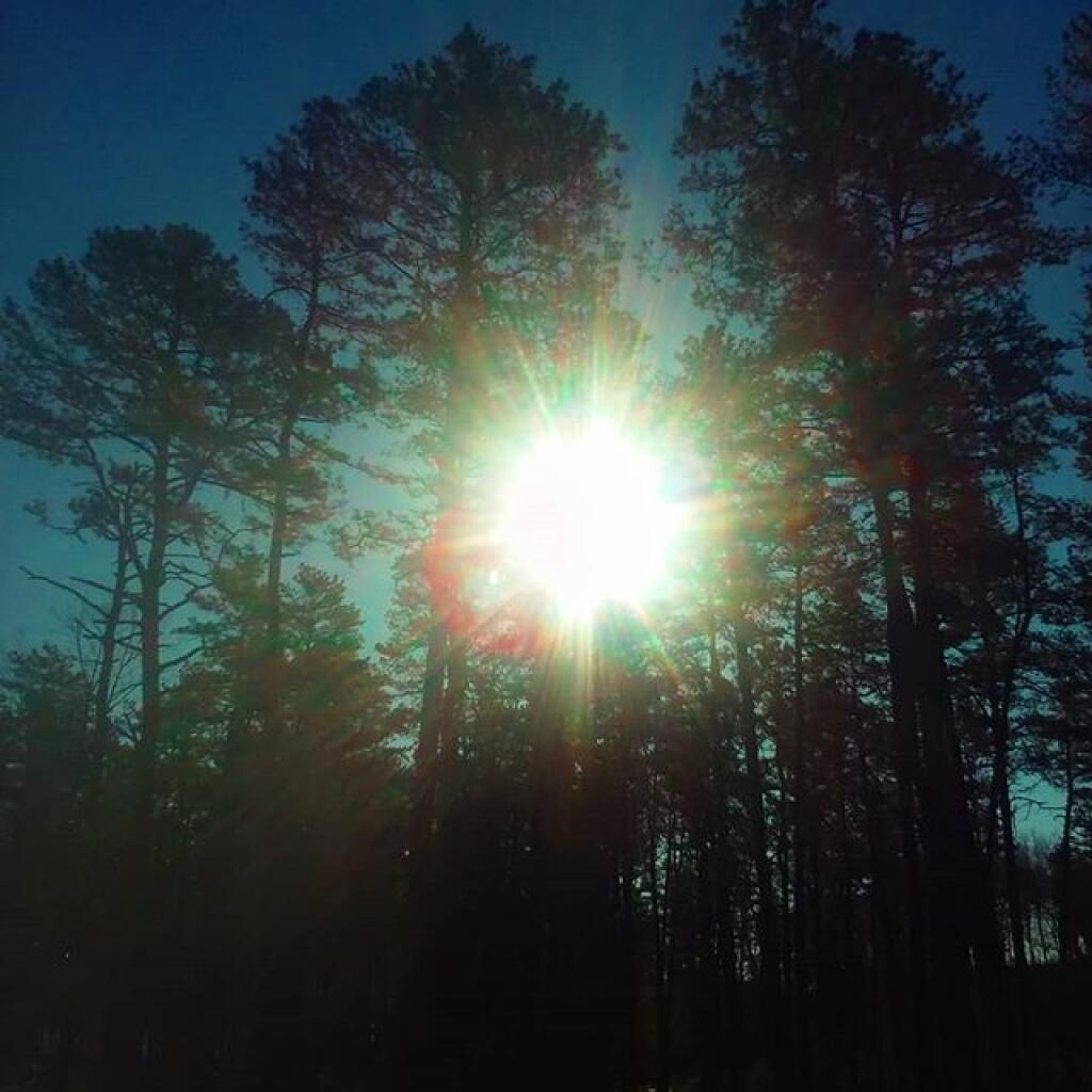
Missed the Pine Bush Hike Today.

It looks like I missed the Save the Pine Bush Hike today …
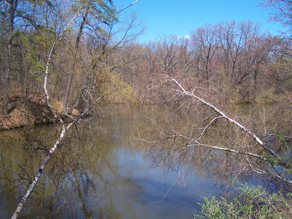
One of Marshy Bays

I wasn’t originally planning on going to the Save the Pine Bush hike, because I was going to up north in the wilderness camping. Not that it’s a real nice day, but the hikes always fun. But without social media to remind me today is Saturday, the hike totally skipped my mind. I don’t mind no longer having social media, but I do think I’m often much more disconnected without it.

SVGZ Graphic: Albany Pine Bush Study Area - Population Density
SVGZ Graphic: Land Cover in the Southern Pine Bush - 1985 through 2023
SVGZ Graphic: Percent Developed, Taxable Properties in Albany Pine Bush
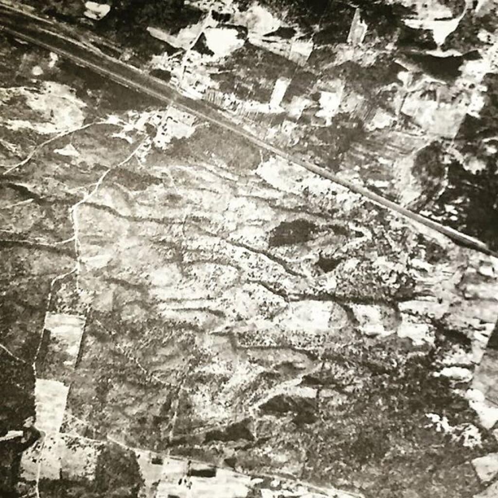
Terrain Map: Albany Pine Bush 1952 High Resolution
Terrain Map: Albany Pine Bush Study Area 1893
Terrain Map: Albany Pine Bush Trails Today vs. Historical Sand Roads
Terrain Map: Blueberry Hill
Terrain Map: Hunger And Kiakout Kill
Terrain Map: Kings Road Dunes
Terrain Map: LiDAR – Crossgates Maul And Blueberry Hill
Terrain Map: Pine Bush East Barrens Soil Map
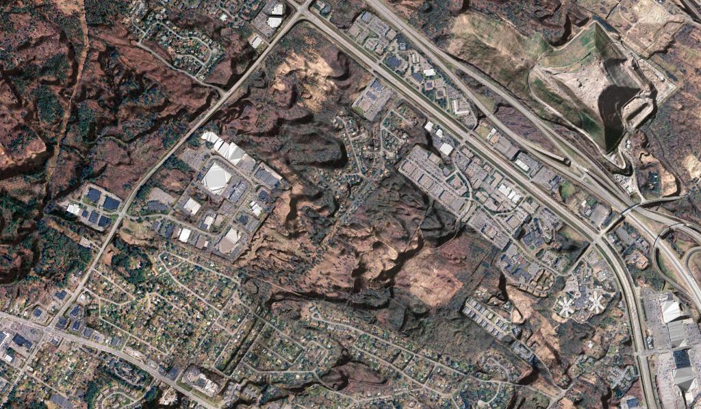
Terrain Map: Pine Bush Lidar with NAIP Imagery
Terrain Map: White Pines Along the Kiakout Are More then 100 Foot
Thematic Map: Albany Pine Bush Population Changes - 2000 through 2020
Thematic Map: Land COver in Albany Pine Bush, 1985-2023
Thematic Map: Natural Communities in Albany Pine Bush.jp
Thematic Map: Pine Bush 1927
Thematic Map: Sunset Throughout the Year from Overlook Dune
Photo: Iron Deposits in Rensselaer Lake
Photo: The Woods
Photo: Gateway to the Forbidden Zone
Photo: Melted
Photo: Setting Sun
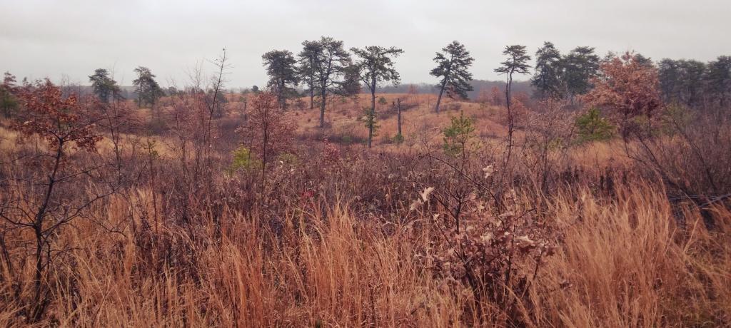
Photo: Across Blueberry Hill
Photo: Blue Trail Marker
Photo: After Dusk
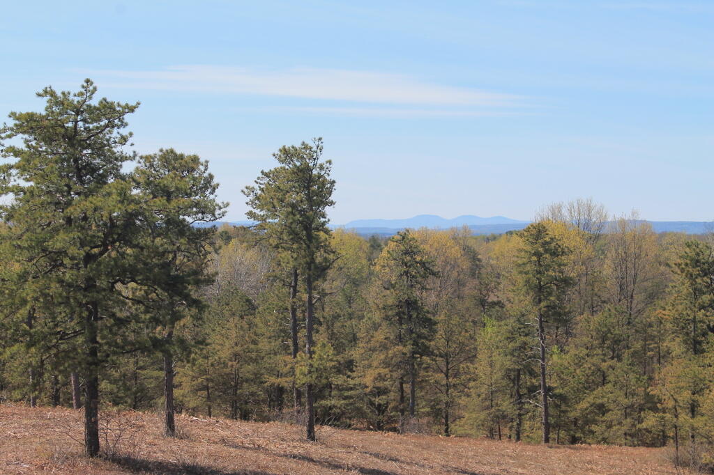
Photo: West Barriens
Photo: Snowshoe Tracks Across the Pond

Leave a Reply

Your email address will not be published. Required fields are marked *