No smoking fortunately.

Shortly after walking out to Five Rivers Environmental Education Center, I ended up worrying about if I left the oven on. So I ended up walking back home. I knew I left the brownies in the oven but I couldn’t remember if I shut them off. Fortunately no fire department or smoke in my apartment when I returned. Next to unpack my camping gear.

Map: Alma Pond
Map: Dobbins Memorial State Forest
Map: Little John Wildlife Management Area
Map: Otter Lake
Map: South Hill State Forest (Oneida 23)
Map: Summer Hill State Forest
Map: West Parishville State Forest
SVGZ Graphic: albany-snow-depth
SVGZ Graphic: college-rate
SVGZ Graphic: december-holidays
SVGZ Graphic: ht2025
SVGZ Graphic: lt2025
SVGZ Graphic: Places Named Bethlehem
SVGZ Graphic: Towns with Most Similiar Land Cover to the Town of Bethlehem
Terrain Map: Happy World Milk Day!
Photo: Keener Hill Road
Photo: Happy June!
Photo: Guilderland Town Planning Board Protest
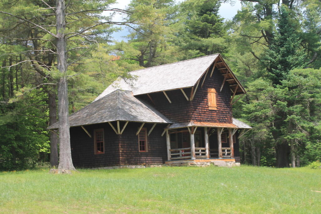
Photo: Gate House
Photo: Karr Road
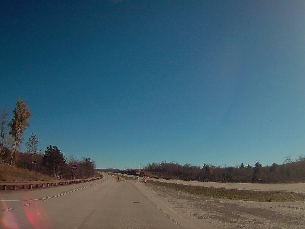
Photo: There's a bunch of dead ash trees on the hills all over Western Pennsylvania
Photo: Petroleum Center, PA
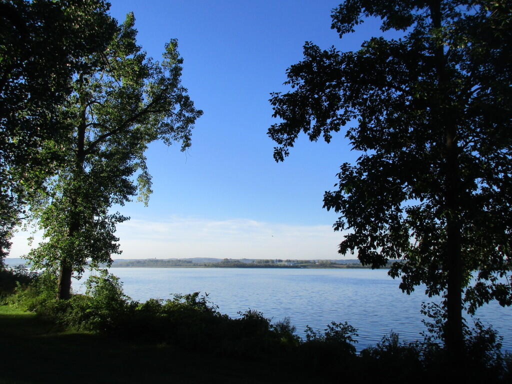
Photo: Evening at Catharine Creek Marsh
Photo: Garage
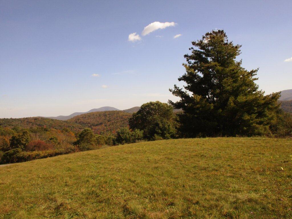
Photo: This afternoon at the Marie Antoinette Overlook

Leave a Reply

Your email address will not be published. Required fields are marked *