December 6, 2018 5:39 pm Update

This year would be good year for some bombogensis to occur on Tuesday, December 25, with two feet of heavy icy snow, closing down the streets of Albany to traffic to say maybe January 2nd. #justsaying


IMG 2668

Map: Alma Pond
Map: Dobbins Memorial State Forest
Map: Little John Wildlife Management Area
Map: Otter Lake
Map: South Hill State Forest (Oneida 23)
Map: Summer Hill State Forest
Map: West Parishville State Forest
SVGZ Graphic: albany-snow-depth
SVGZ Graphic: college-rate
SVGZ Graphic: december-holidays
SVGZ Graphic: ht2025
SVGZ Graphic: lt2025
SVGZ Graphic: Places Named Bethlehem
SVGZ Graphic: Towns with Most Similiar Land Cover to the Town of Bethlehem
Terrain Map: Happy World Milk Day!
Photo: Duelly noted
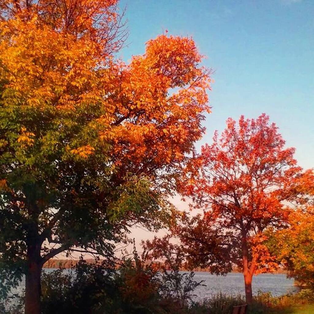
Photo: Colors
Photo: Kipp Hill From Pratt Rock
Photo: Clams, shrimp and sweet corn for lunch
Photo: Overhang
Photo: End of the day, End of Long Pond
Photo: Crooked Lake House
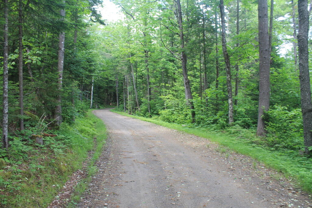
Photo: Newcomb Lake Road Trail
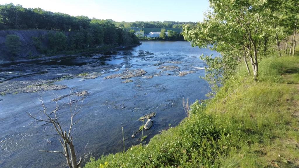
Photo: Low head dam
Photo: Black Eye Susans are out

Leave a Reply

Your email address will not be published. Required fields are marked *