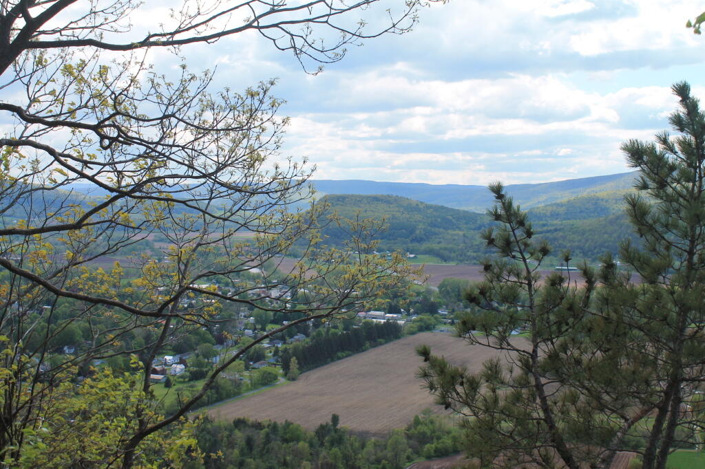
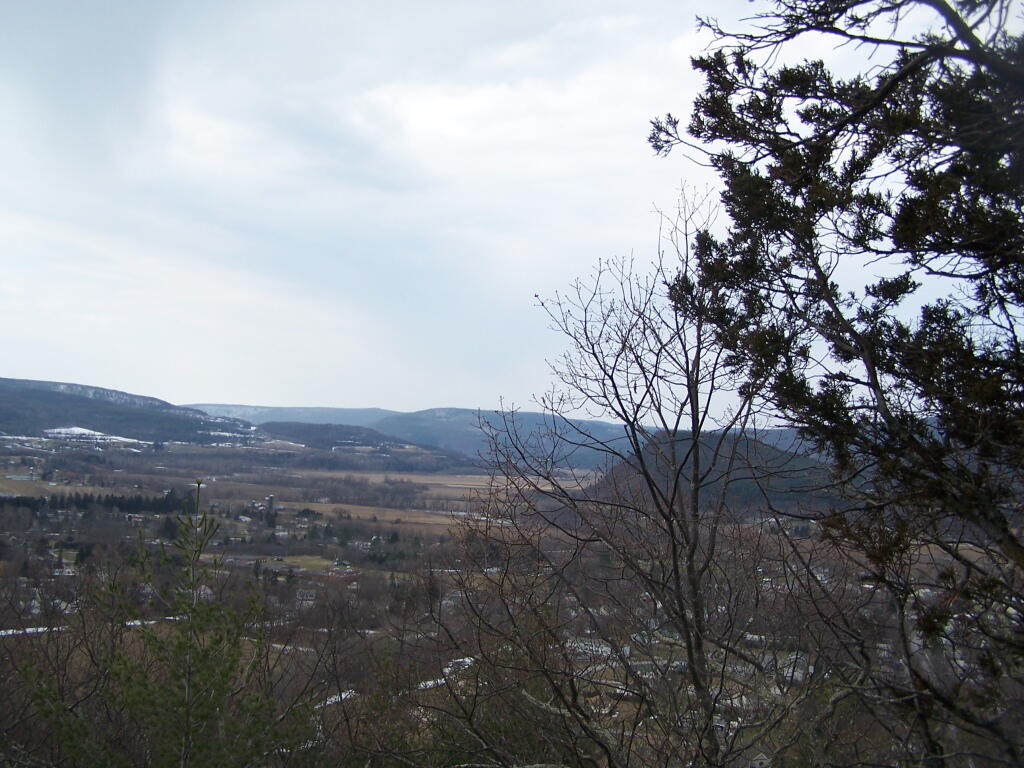
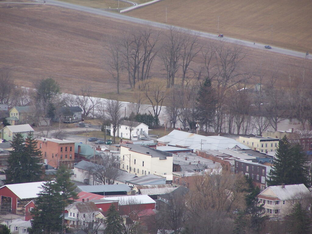
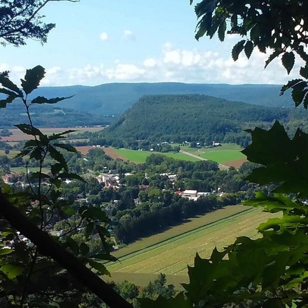
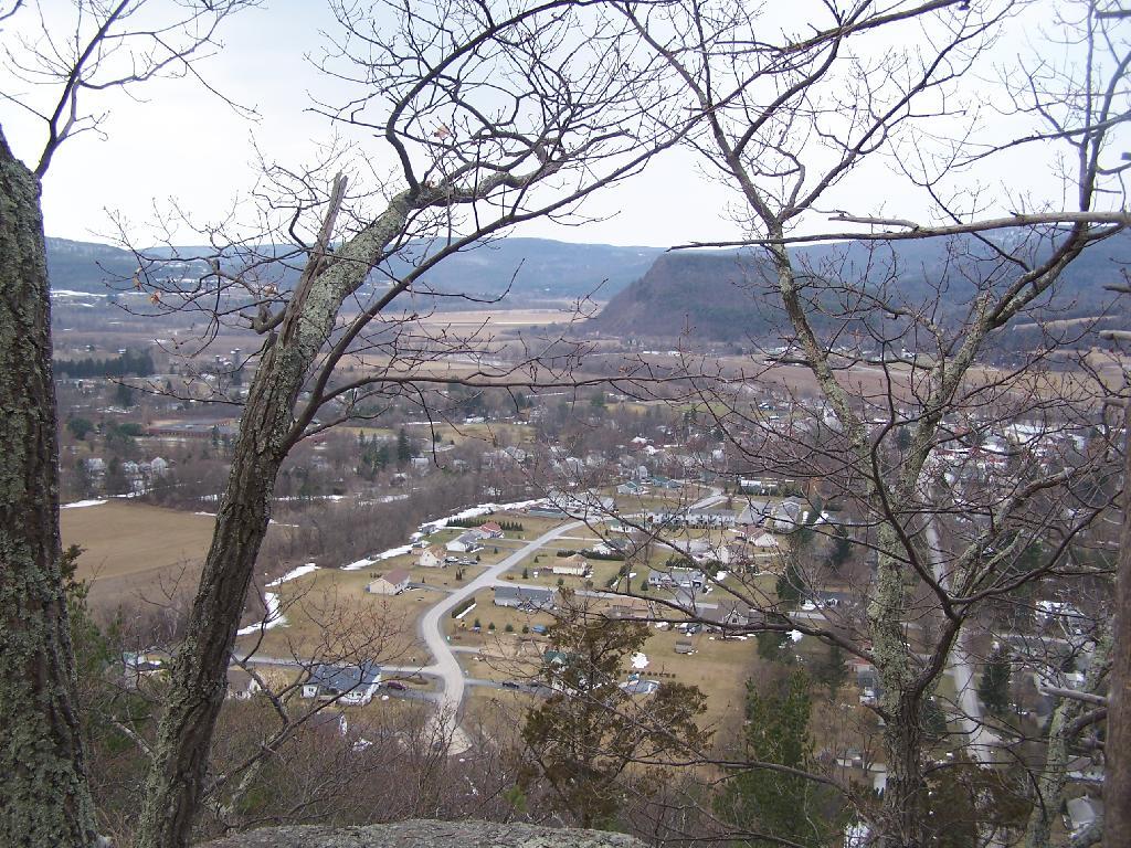
North of Middleburgh 🖼️

Download a JPEG Image of the North of Middleburgh.
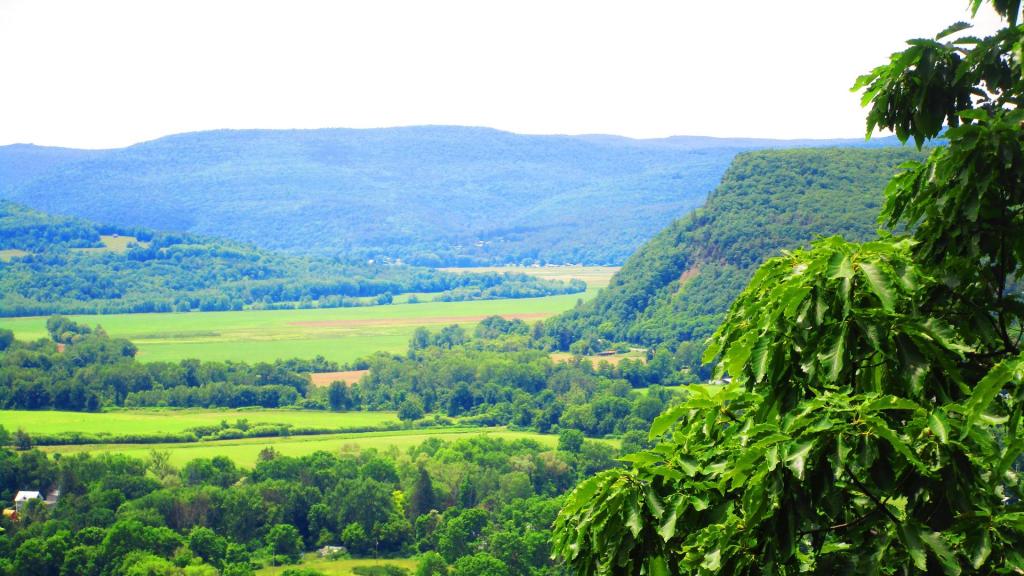
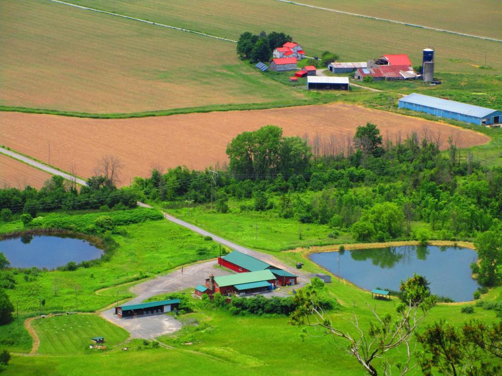
North of Middleburgh ...
Taken on Sunday September 16, 2018 at Middleburgh Cliff.

More about Middleburgh Cliff...
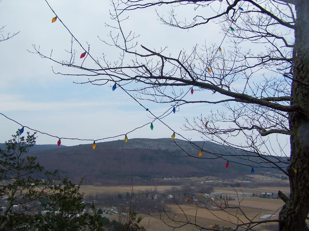
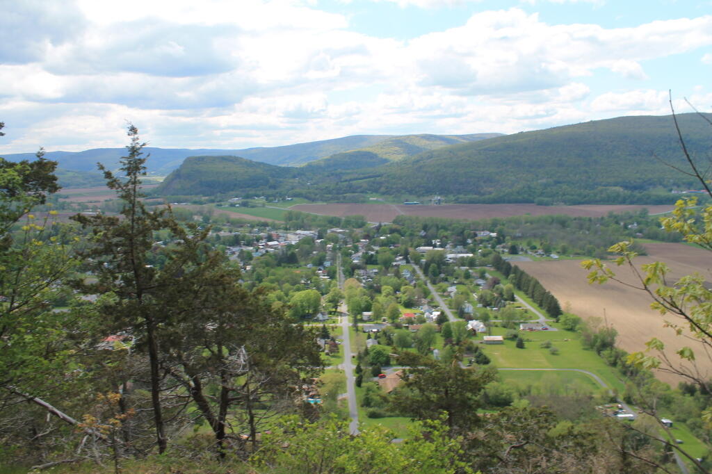
Directly to the East of Middleburgh there is a long narrow landform known as “The Cliff”. It’s a 500 foot high hill, with about 40 feet high cliffs, overlooking Middleburgh and Schoharie to the west. Cotton Hill sits above it to the east. While privately owned, the Long Path crosses it and you can use it to explore the cliffs.