Moose River Plains vs. Piesco-Powley Road for Next Weekend
Moose River Plains vs. Piesco-Powley Road for Next Weekend
It looks like next weekend will be a nice one. I may take off Friday. I am still chewing over whether or not to go up to Moose River Plains or Piseco-Powley Road. Here is what I’m thinking the pros and cons of both would be.
Moose River Plains – Pro
– I don’t think I will back up there again this year, it would be nice to get up there once this summer.
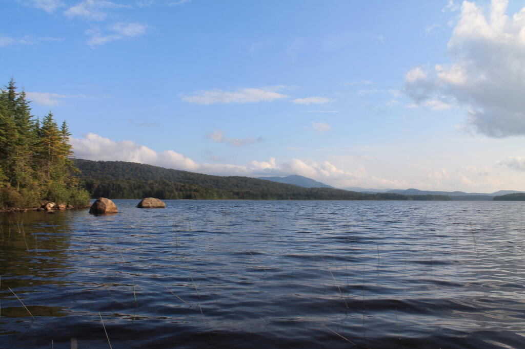
– Cedar River Flow would be a nice paddle and fish on Friday if the weather is nice.
– I could drive up early on Friday morning, this way I wouldn’t have to drive in the dark or fight rush-hour traffic.
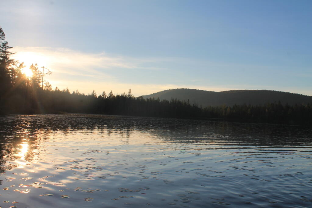
– Friday or Saturday night I could camp in the plains, go for an after-dark hike along the roads, maybe hike back to Icehouse Lake after dark to enjoy the stars.
– I love camping in the open campsites, with the sand.
– If I get a campsite in the plains, I can take the kayak off my truck, park it in the sun and have ample power for the remaining portion of the weekend.
– Maybe Sunday leave relatively early, come back through Old Forge, maybe stop and visit Woodhull Lake as I haven’t been back that way in years.
– If I go up to Moose River this weekend, I could always go up to Piseco-Powley Road next weekend.
– Every campsite has an outhouse and picnic table which is always nice.
– Wild blueberries in the plains!
Moose River Plains – Con
– If I drive up on Friday morning, that’s still only two nights of camping, and really only one full day back in the plains.
– Everything takes longer to drive to in Moose River plains, it seems like you spend half your time there driving from point a to point b.
– I’ve done most of the hikes before at Moose River Plains.
– It’s a long haul to Inlet if for some reason I need a supply, and everything is very expensive there, and I don’t really like the Northern Lights Ice Cream place.
– I hate all the potholes and bumps on Moose River Plains, I don’t want to risk damaging my truck, especially as I will be driving a lot more of the next few weeks for work.
– It’s a long haul there and an even longer haul back along NY 28, and I probably would have to drive the Northway at least going up there.
– Both a lot of Friday and Sunday will be devoted to driving rather then camping and enjoying the back country.
Piseco-Powley Road – Pro
– Piseco-Powley Road is not that far from Albany, I could easily leave on Thursday night and set up camp. Granted I probably will have to stop and buy groceries on the way up and it may be dark before camp is fully set up, but it would most certainly mean one more night of camping.
– Whether I take the Thruway or I-890/NY 5 through Schenectady out to Amsterdam, there won’t be the traffic or hassles of the Northway. It’s also only about a 90 minute drive, or maybe a bit less.
– If I get up there on a Thursday night, there is a good chance I could get the Powley Bridge site or maybe even one of the nice sandy sites out in Powley Place. The bridge site I could kayak right from camp.
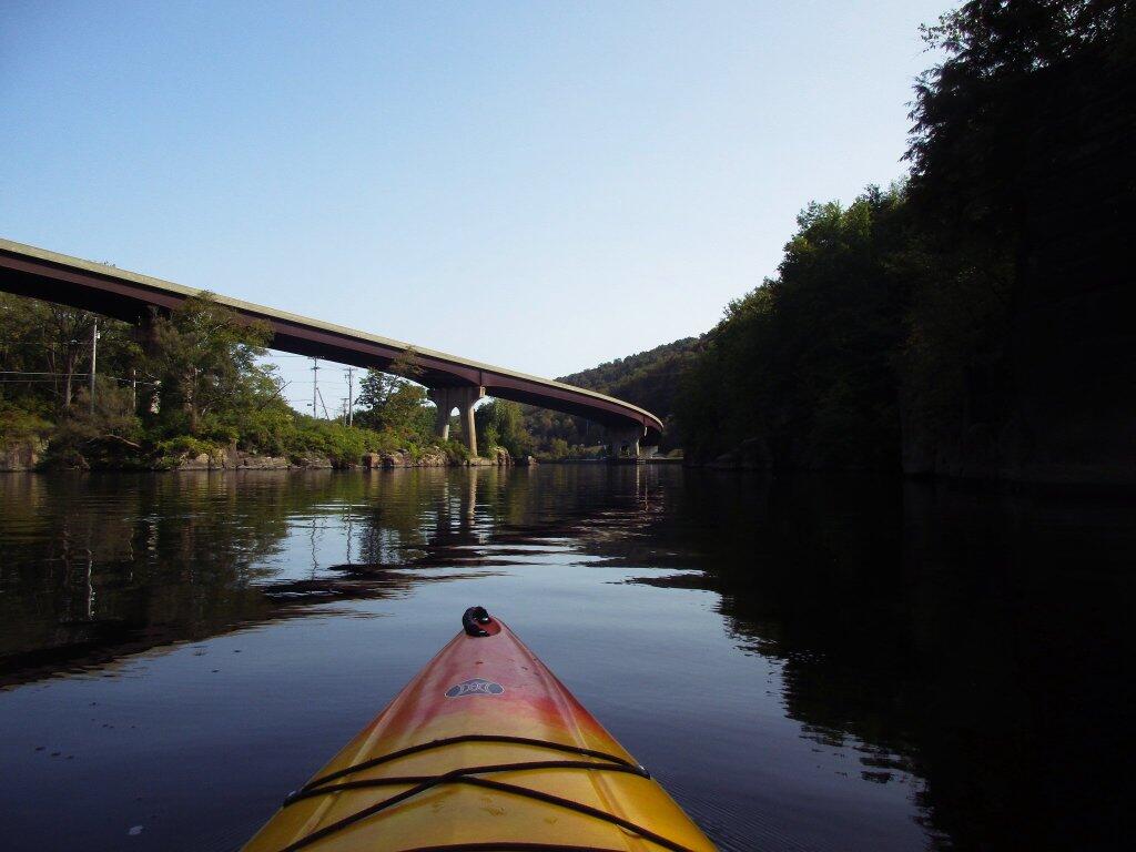
– Friday or Saturday I could drive down to Little Falls and hike around Moss Island then paddle in the Mohawk River.
– Powley Road is well maintained, much less bumpy then Cedar River – Limekiln Lake Road.
– The potholers are a great place to cool down on a hot day. Sure the Moose River offers a place to cool down but it’s not nearly as nice as the potholers.
– Not so far from civilization if I need to get supplies, especially if I’m thinking of heading down to Little Falls.

Piseco-Powley Road – Con
– I’ve been to Piseco-Powley Road two times already this year. If the weather is also nice for Labor Day Weekend — or even in September I might go back there a third or fourth time. I go up there a lot.
– Hardly a special trip, something I’ve done many times before. Might even be boring.
– If I camp in the plains, or even at the bridge site, it won’t be as isolated or quiet as camping at some of the sites at Moose River area.


")


