August 3, 2018 4:10 pm Update

At the Watkins Glen Public Library on this dreary afternoon for a while, then maybe go for a swim or hike if the pool is open as the rain has stopped. 🌧

I am working on a new Facebook Page, that will replace my Facebook Profile, at least for photos and maps. 🏞 I plan to bring it live over the next few days. It will be a soft launch until all the bugs are worked out.

Map: Alma Pond
Map: Dobbins Memorial State Forest
Map: Little John Wildlife Management Area
Map: Otter Lake
Map: South Hill State Forest (Oneida 23)
Map: Summer Hill State Forest
SVGZ Graphic: albany-snow-depth
SVGZ Graphic: college-rate
SVGZ Graphic: december-holidays
SVGZ Graphic: ht2025
SVGZ Graphic: lt2025
SVGZ Graphic: Places Named Bethlehem
SVGZ Graphic: Towns with Most Similiar Land Cover to the Town of Bethlehem
Terrain Map: Happy World Milk Day!
Photo: Low moisture corn 🌽 along Mile Strip Road
Photo: Kipp Hill From Pratt Rock
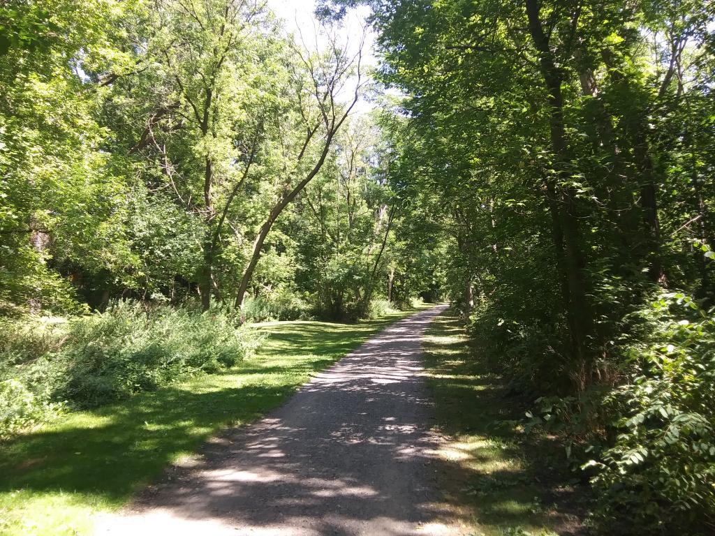
Photo: Nice quiet trail along the creek
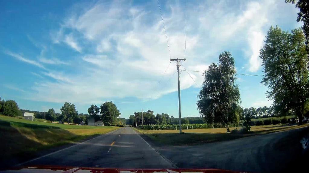
Photo: Outside Of Dresden
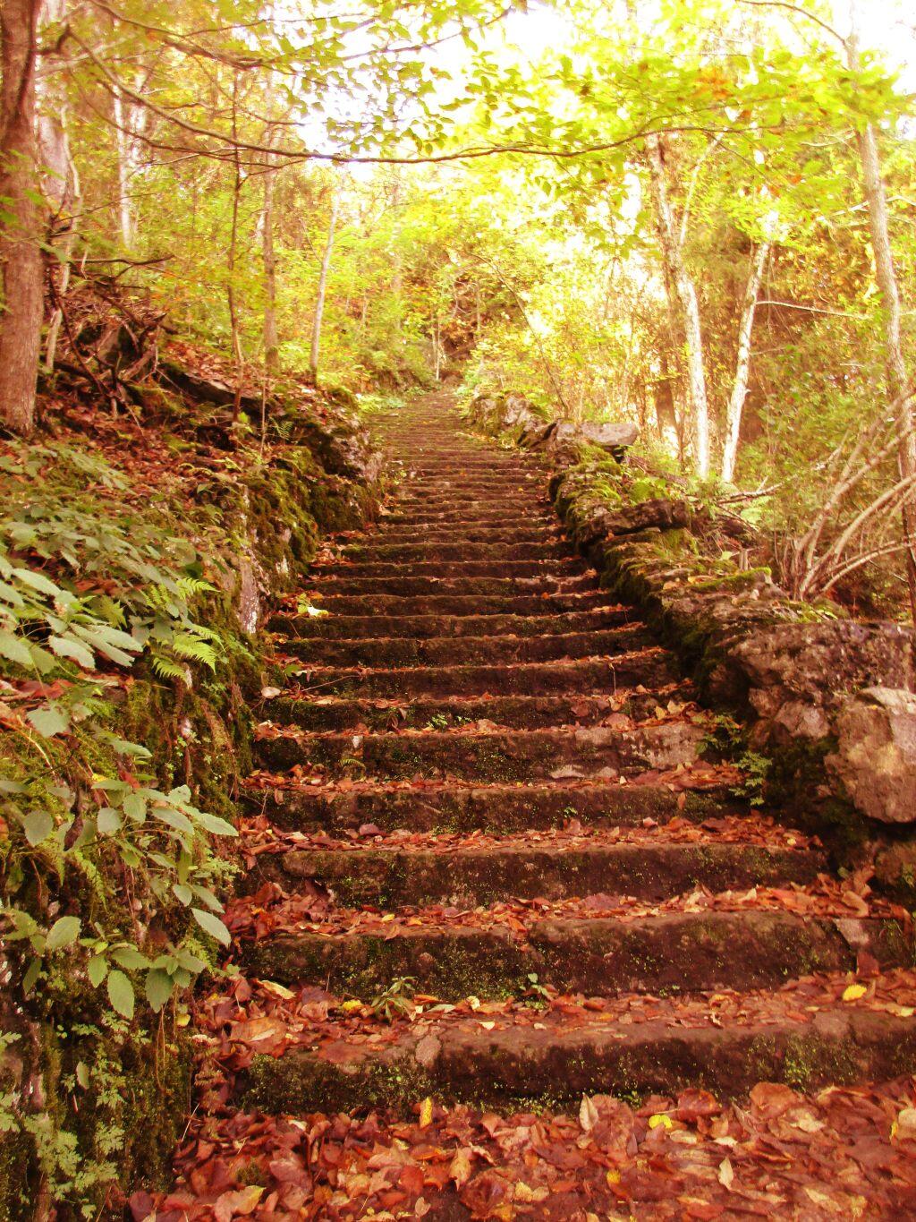
Photo: So Many Stairs
Photo: Mud Lock of the Old Oswego Canal
Photo: Can see some blue sky through the clouds
Photo: There's a bunch of dead ash trees on the hills all over Western Pennsylvania
Photo: Pine Bush beer
Photo: Cannon

Leave a Reply

Your email address will not be published. Required fields are marked *