Grafton 🖼️
Download a High Resolution JPEG Image of the Grafton or an Adobe Acrobat Printable PDF of the Grafton.
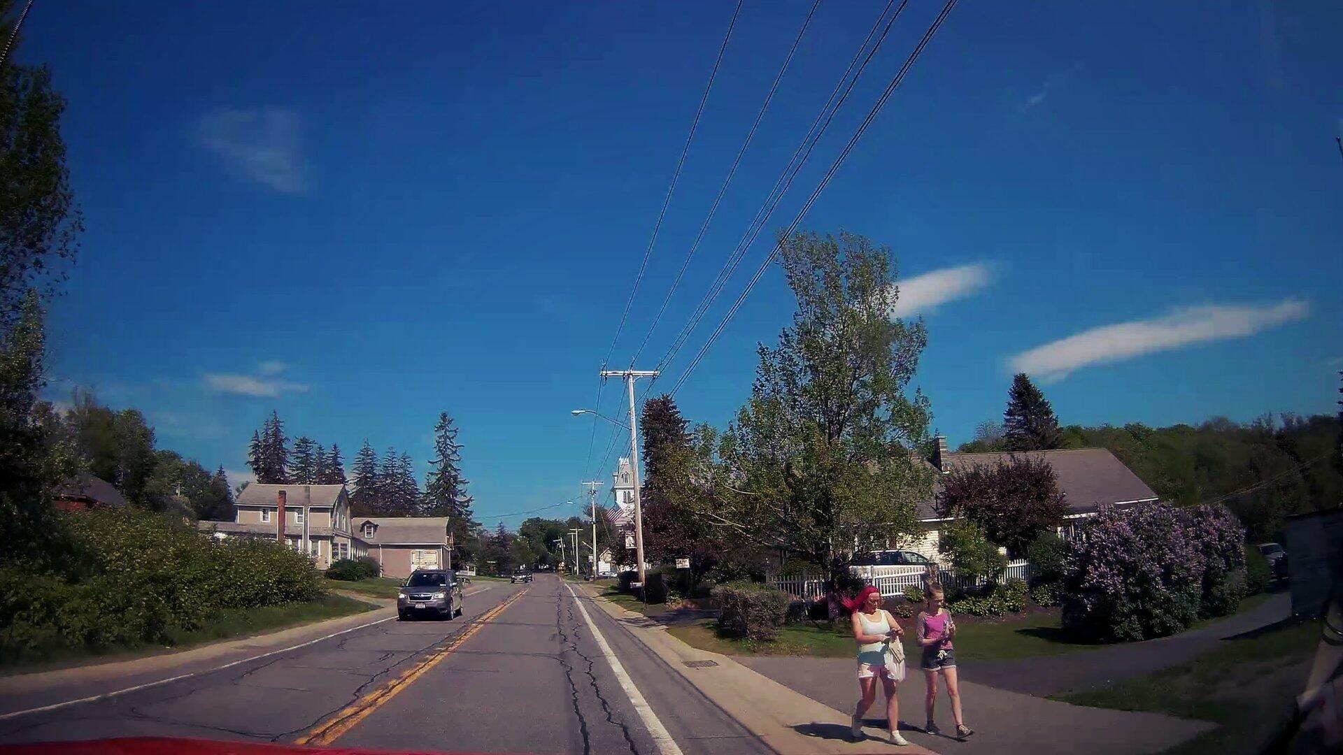
Grafton ...
Taken on Friday May 25, 2018 at Rensselear County.

More about Rensselear County...
Rensselaer County is a county in the U.S. state of New York. As of the 2010 census, the population was 159,429. Its county seat is Troy. It is part of the Albany-Schenectady-Troy Metropolitan Statistical Area.
Rensselaer County is in the eastern part of New York State. The eastern boundary of Rensselaer County runs along the New York–Vermont and New York–Massachusetts borders.
The terrain runs from level and flat near the Hudson and then rises into the Rensselaer Plateau around Poestenkill and Sand Lake, then to the Taconic Mountains along the Massachusetts state line.
The highest point is Berlin Mountain, 2,818 feet (859 m) above sea level, in the town of Berlin. The lowest point is sea level at the Hudson.
The Hoosic River, a tributary of the Hudson River, is in the north part of the county.
http://en.wikipedia.org/wiki/Rensselaer_County,_New_York


