Bakerstown Bridge Signs 🖼️
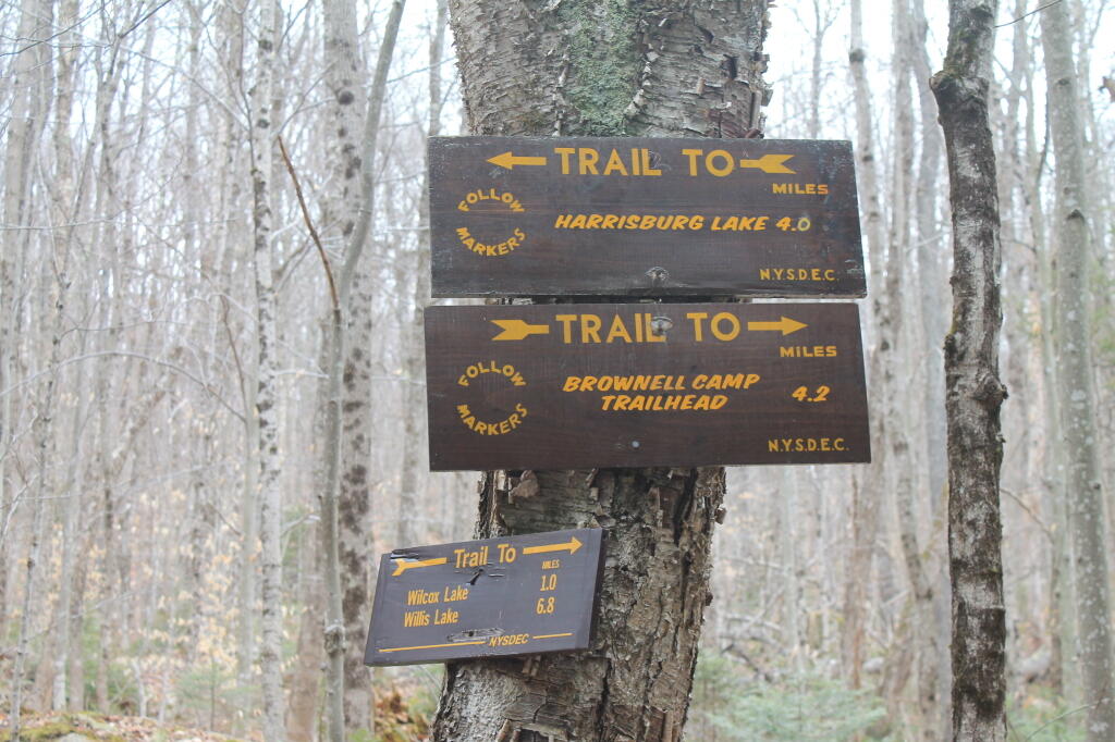
Download a JPEG Image of the Bakerstown Bridge Signs.
Bakerstown Bridge Signs ...
The funny thing is when you add 4.2 miles to Brownell Camp Trailhead to the 1.0 miles to Wilcox Lake Trailhead, you get, well more then 4.9 the the sign at Brownell Camp Trailhead said to get to Wilcox Lake.
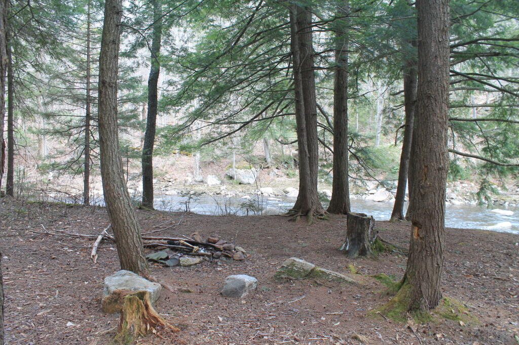
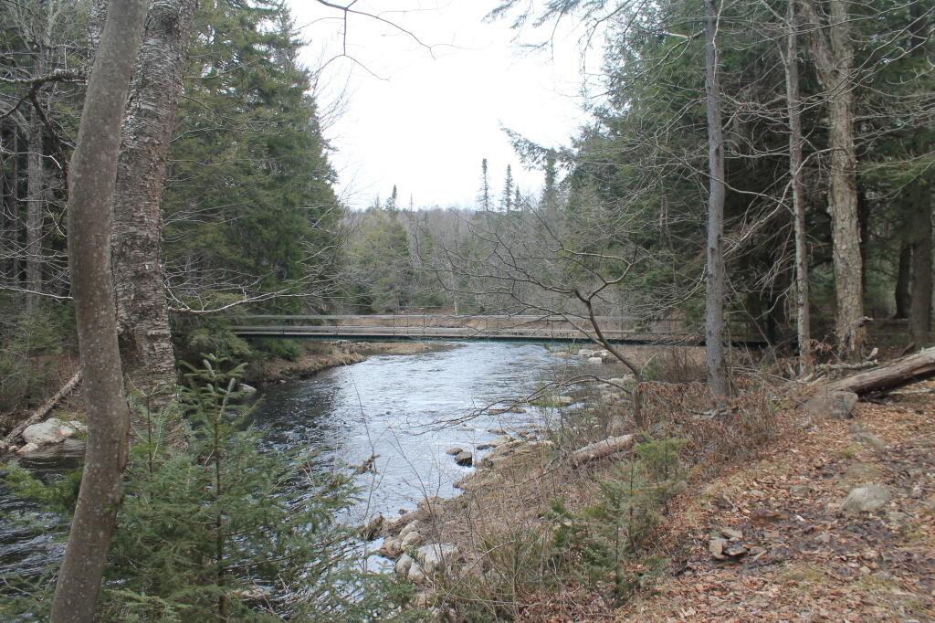
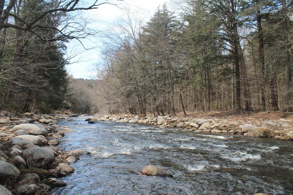
Taken on Saturday April 27, 2013 at East Stony Creek.

More about East Stony Creek...
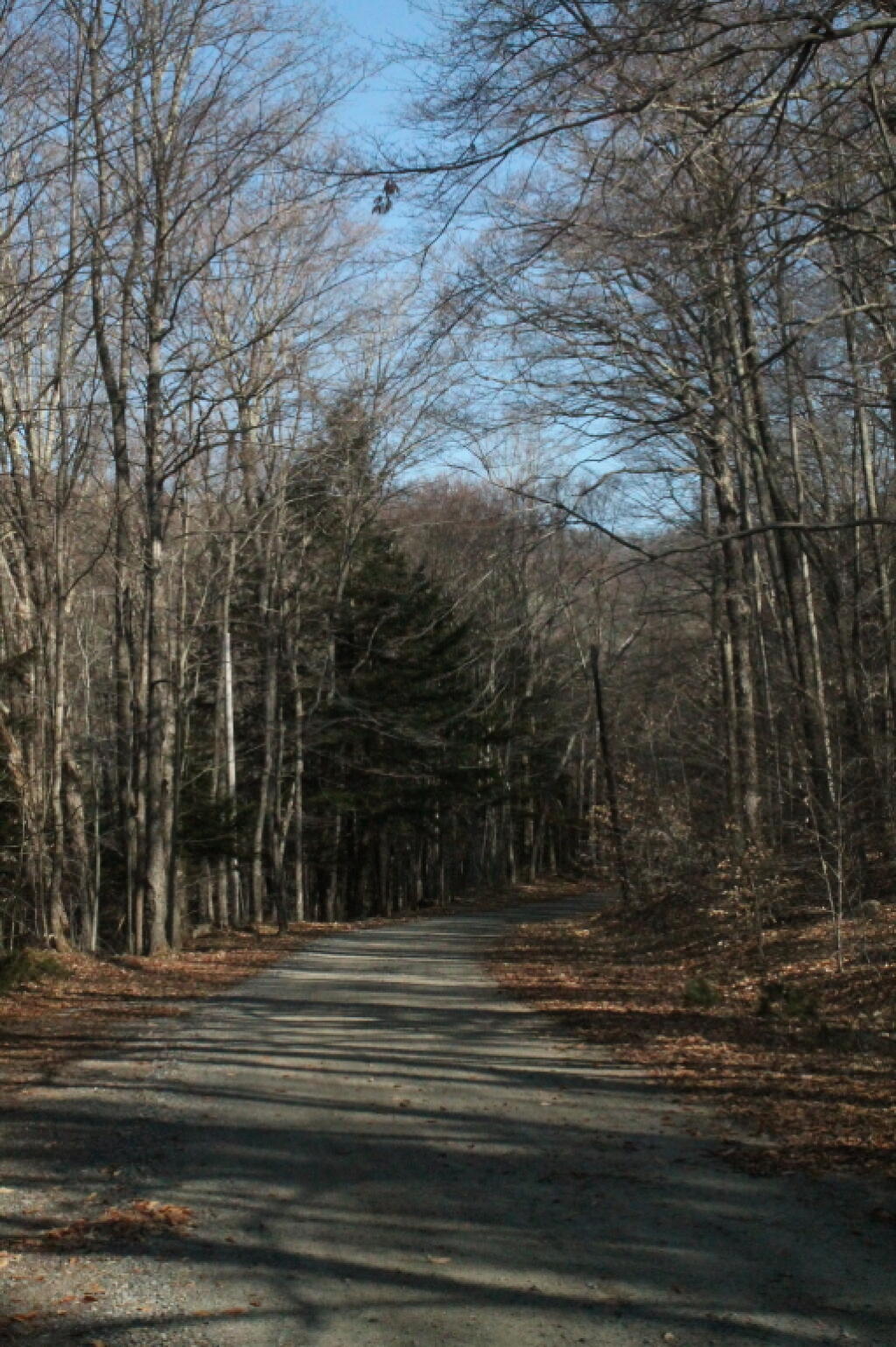
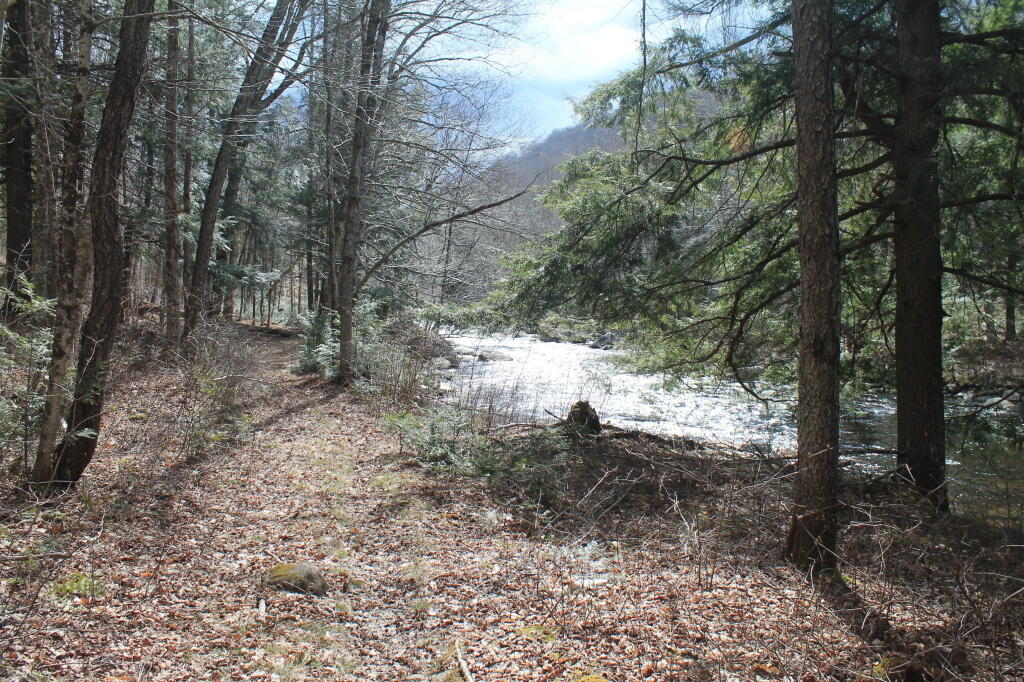
The East Stony Creek starts in Lizard Pond, and heads south-west until it runs the Great Sacandaga Lake. Notable along it is the East Stony Creek Trail which goes from Hope Falls Road to Bakerstown (Harrisburg Lake Road), and provides access to Wilcox Lake and Tenet Falls Trails. There also is roadside camping along the end of Hope Falls Road.