April 6, 2018 8:37 pm Update

The joys of porting code from QGIS 2.0 to QGIS 3.0. It’s not that bad, but annoying when they change method names, even if the new methods are saner then the old version. I guess sometimes you have to break things for a better tomorrow !

Map: Alma Pond
Map: Dobbins Memorial State Forest
Map: Little John Wildlife Management Area
Map: Otter Lake
Map: South Hill State Forest (Oneida 23)
Map: Summer Hill State Forest
Map: West Parishville State Forest
SVGZ Graphic: albany-snow-depth
SVGZ Graphic: college-rate
SVGZ Graphic: december-holidays
SVGZ Graphic: ht2025
SVGZ Graphic: lt2025
SVGZ Graphic: Places Named Bethlehem
SVGZ Graphic: Towns with Most Similiar Land Cover to the Town of Bethlehem
Terrain Map: Happy World Milk Day!
Photo: Camp Santanoni Gate Lodge Welcome Sign
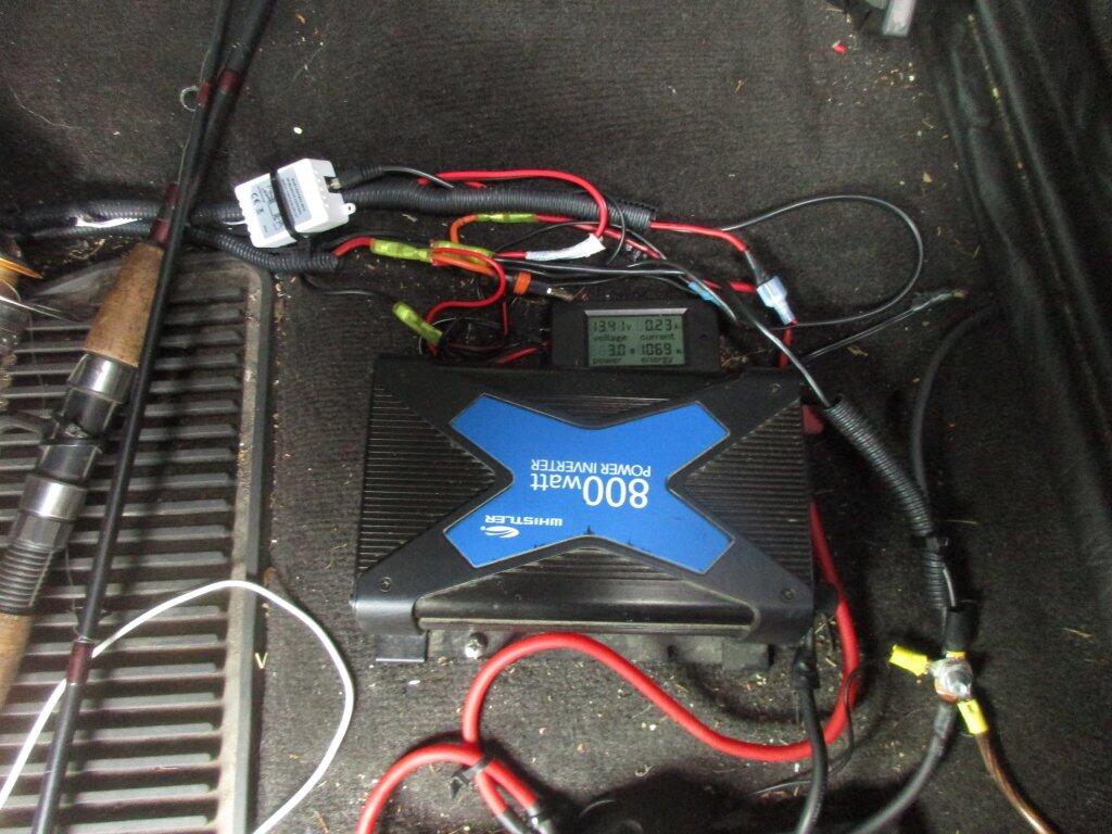
Photo: Power Input Meter And Large Inverter
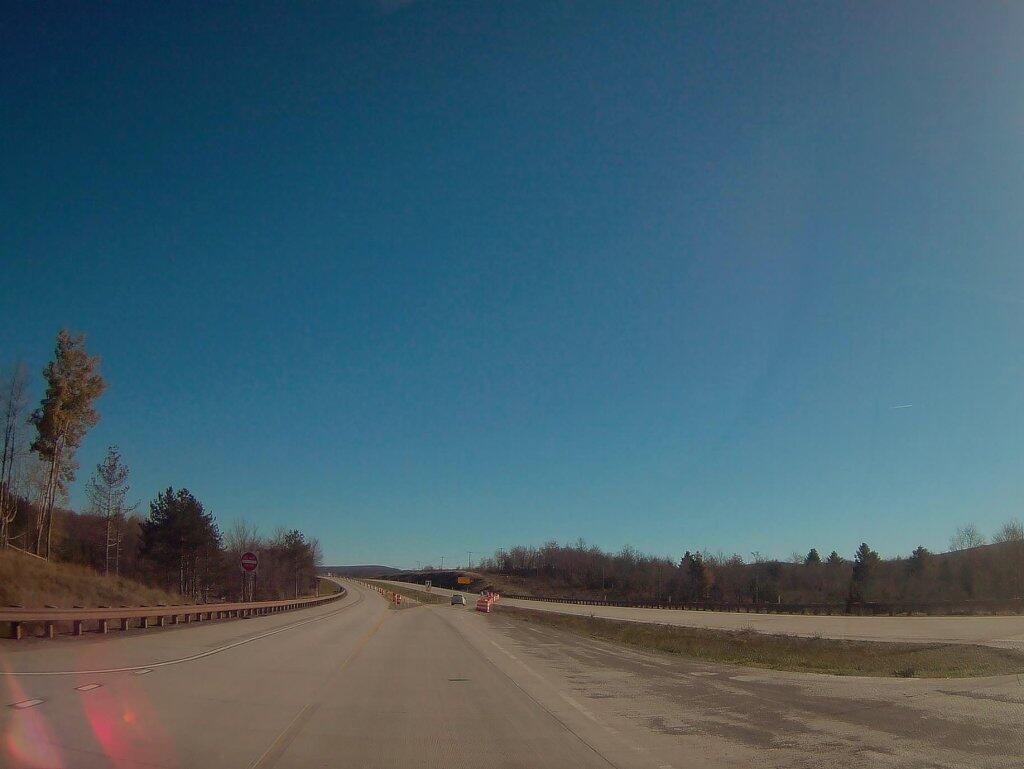
Photo: Where Corridor H Ends Outside Of Davis WV
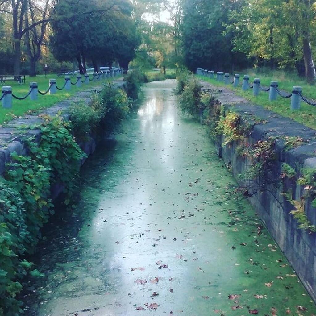
Photo: Mud Lock of the Old Oswego Canal
Photo: West
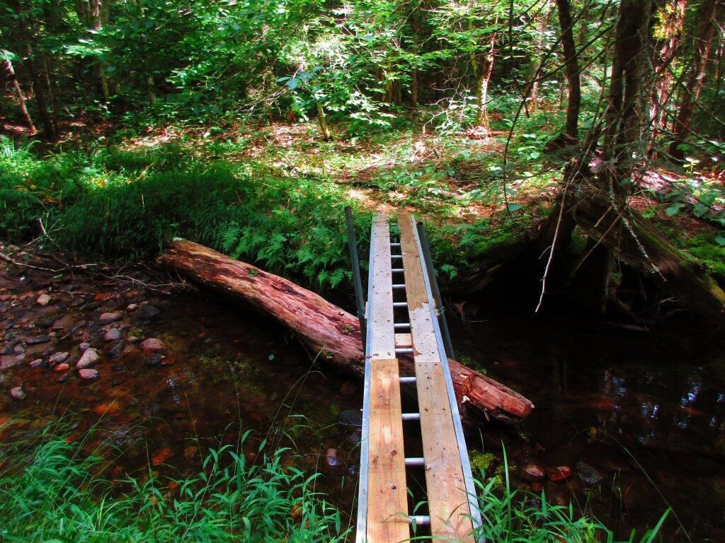
Photo: Homemade Bridge
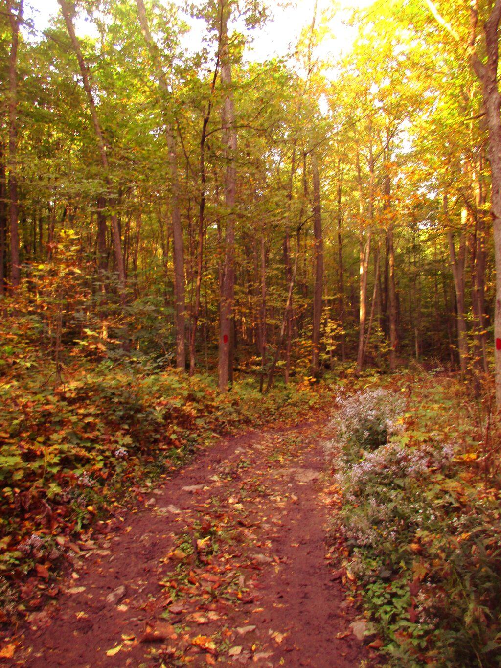
Photo: Long Trail
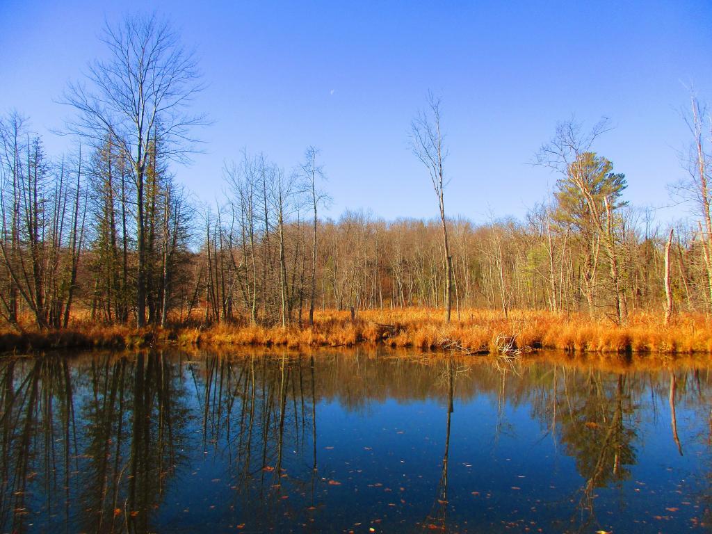
Photo: Wetlands Across the Canal
Photo: Can see some blue sky through the clouds
Photo: Campsite

Leave a Reply

Your email address will not be published. Required fields are marked *