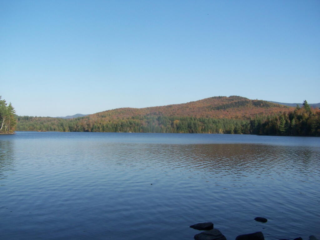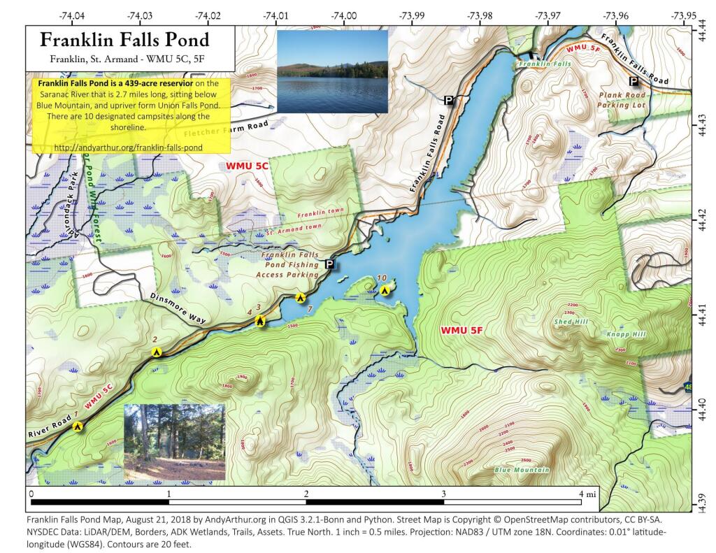

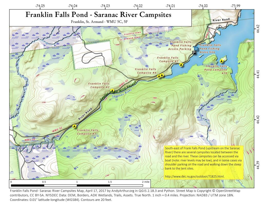
Franklin Falls Pond – Saranac River Campsites
This shows the campsites south-west of the Franklin Falls Pond/Reservoir. The Saranac River at this point is mostly navigable at higher level flows but it is shallow with lots of big boulders and some rapids. You will be hoping in out of your canoe. Most of the campsites can also be accessed by parking on the shoulder of the road and climbing down a steep bank to campsites along the shoreline.
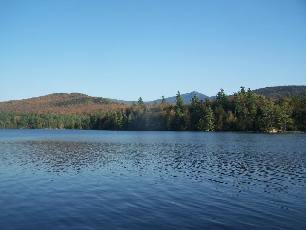
Whiteface Across Franklin Falls Pond

Franklin Falls Pond
Looking South.
Friday October 7, 2011 — Franklin Falls Pond — Franklin Falls Pond 🗺 — Franklin Falls Pond - Saranac River Campsites 🗺— PDF with All Maps 📚