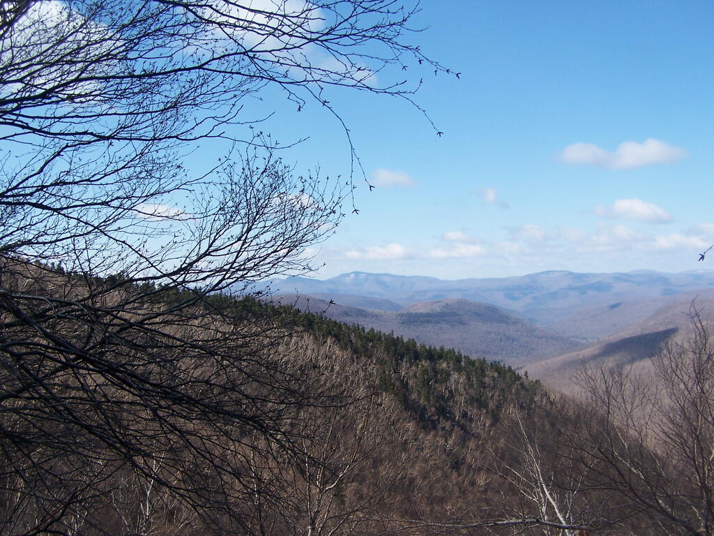
Gaining Elevation
Gaining some elevation as I hike up Plateau Mountain. This is around 3,000 feet. Looking down at Devil's Clove.
Sunday April 12, 2009 — Plateau Mountain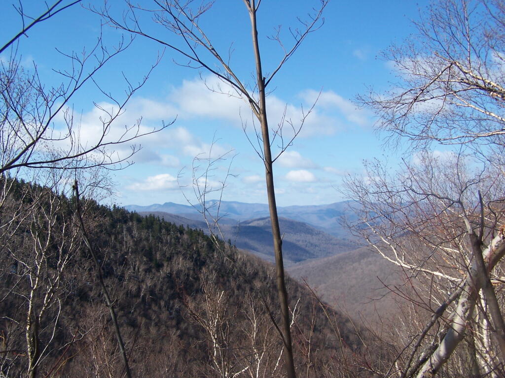


North South Lake

South-West off Plateau
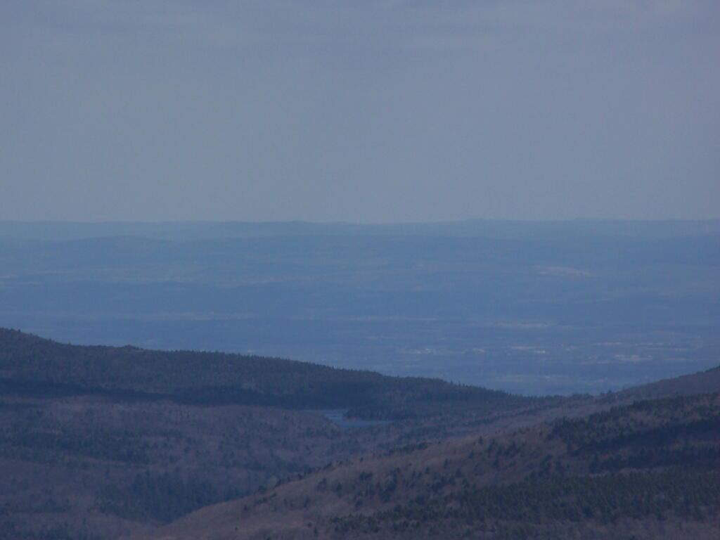
Continuing to climb up Plateau Mountain, there is this rock face you can climb up and look off. About 3/4 the way up, it's a nice place to stop and take a break.
Sunday April 12, 2009 — Plateau Mountain