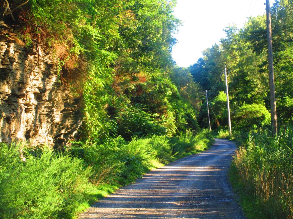
Bad Indian Swamp
Part of the Catherine Creek Marsh WMA.
Part of the Catherine Creek Marsh WMA.

Change Bad Indian Swamp (FID 973978) to Queen Catharine Marsh, New York
This proposal seeks to change the name of Bad Indian Swamp, an approximately 1,000-acre swamp located in the Village of Montour Falls and the Town of Dix, south of Watkins Glen in Schuyler County. The proposed name, Queen Catharine Marsh, honors Queen Catharine Montour, a prominent Iroquois leader whose legacy is recognized throughout the region. The existing name Bad Indian Swamp has appeared on USGS maps since 1950, though its origin is unclear.
The swamp lies within the Catharine Creek Wildlife Management Area (CCWMA), a 900+-acre wetland acquired by the New York State Department of Environmental Conservation in the 1970s. According to letters of support, while the name Bad Indian Swamp has been used locally for over 50 years its origin is unclear.
Queen Catharine Montour led a nearby Seneca village known as Sheaquaga (informally called Catharine’s Town), which was destroyed in the 1779 Sullivan Campaign, a Revolutionary War effort aimed at weakening the Haudenosaunee Confederacy, which had allied with the British. 22
The campaign involved systematic destruction of Indigenous communities and resources, leading to widespread displacement.
The Watkins Glen Area Chamber of Commerce notes that the wetland is known as Queen Catharine Marsh at the state level. The name “Queen Catherine Marsh” also appears in Take a Hike!: Family Walks in the Finger Lakes and Genesee Valley Region (1999) by Rich Freeman.
Prior to submission, the proponent obtained letters of support from the Friends of Catharine Valley Trail, the New York State Assembly (132nd District), the Watkins Glen Area Chamber of Commerce, the Schuyler County Historian, and the New York State Office of Parks, Recreation and Historic Preservation. These letters, submitted through Schuyler County, call for the removal of the name “Bad Indian Swamp” from federal maps.
The New York State Assembly, the Chamber of Commerce, and state and local officials argue that the name is derogatory, historically unclear, economically damaging, and inconsistent with modern inclusive interpretive practices. The Watkins Glen Chamber described the name as “defamatory” and “a direct negative portrayal” of the community, while the NYS Parks Office stated that it contradicts their “Whole History” interpretive approach.
Historian Mark Monmonier noted in From Squaw Tit to Whorehouse Meadow (2007) that Bad Indian Swamp was among 45 names identified for renaming during New York’s 1988 campaign to eliminate offensive names from state maps. Although no formal action was taken at the time, the then-governor Mario Cuomo had directed state agencies to identify and remove derogatory names from state maps. Although the term “Bad Indian” does not appear on the Secretary of the Interior’s Order 3405 List of Derogatory Geographic Names, this proposal aligns with broader efforts to replace insensitive names with those reflecting cultural respect.
The Chamber also emphasized that Queen Catharine Marsh is already in use at the state level. Furthermore: “The namesake of the CCWMA and the marsh is Queen Catharine Montour… Catharine Valley Trail, CCWMA & Montour Falls were named in her honor following the Revolutionary War.” They argued that this established naming reflects the region’s heritage and underscores the inappropriateness of retaining the name Bad Indian Swamp on federal maps.
Following submission, the proponent contacted the Tribal Historic Preservation Officer of the Seneca Nation, the Tribal Historic Preservation Officer of the Seneca-Cayuga Tribe of Oklahoma, and the Office of the Chief of the Tonawanda Band of Seneca, in accordance with U.S. BGN guidance on cultural sensitivity. No responses were received. This effort reflects the BGN’s guidance that proponents “work with Tribal Leaders [and] Tribal Historic Preservation Officers… to determine the acceptability of the proposed name and application.”
The New York State Committee on Geographic Names supports the proposal, citing the demonstrated use of Queen Catharine Marsh.
A motion was made and seconded to approve the name. Prior to the vote, Hammond noted that proponent fulfilled the Cultural Sensitivity Guidelines and followed through on staff recommendations.
Vote:
16 in favor
0 against
0 abstentions


From the USGS Digital Raster Graphic topographic map.