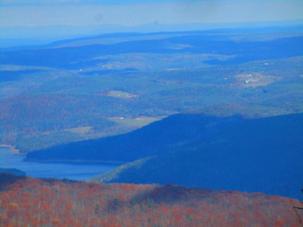
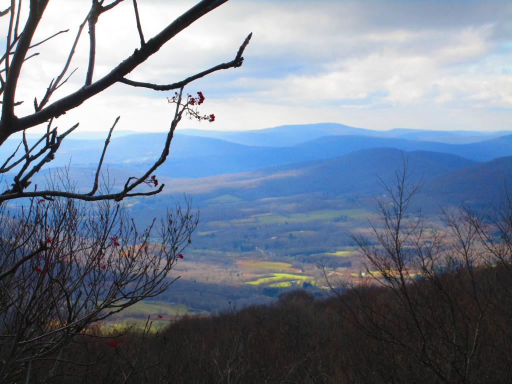
Bearpen Mountain, a prominent peak within the Catskill Mountains of New York, stands as a natural wonder shaped by diverse geography. Its highest point, located in Greene County, elevates it among the region’s summits, while its northwest subpeak claims the title of Delaware County’s highest at 3,520 feet. The mountain is flanked by Roundtop to the north and Vly Mountain to the southeast, creating a scenic backdrop.
Bearpen Mountain’s slopes play a pivotal role in shaping local waterways. Its northeastern side channels water into Little West Kill, connecting to larger watersheds leading to the Hudson River. On its western side, streams flow into Batavia Kill, which feeds into the East Branch of the Delaware River.
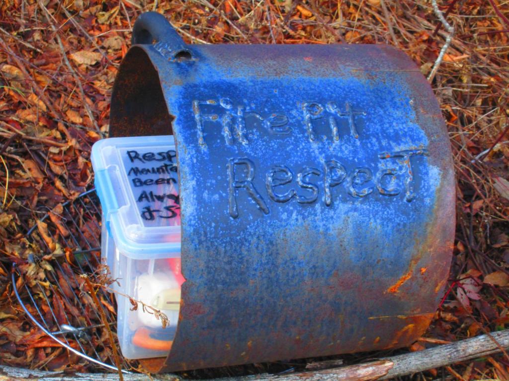
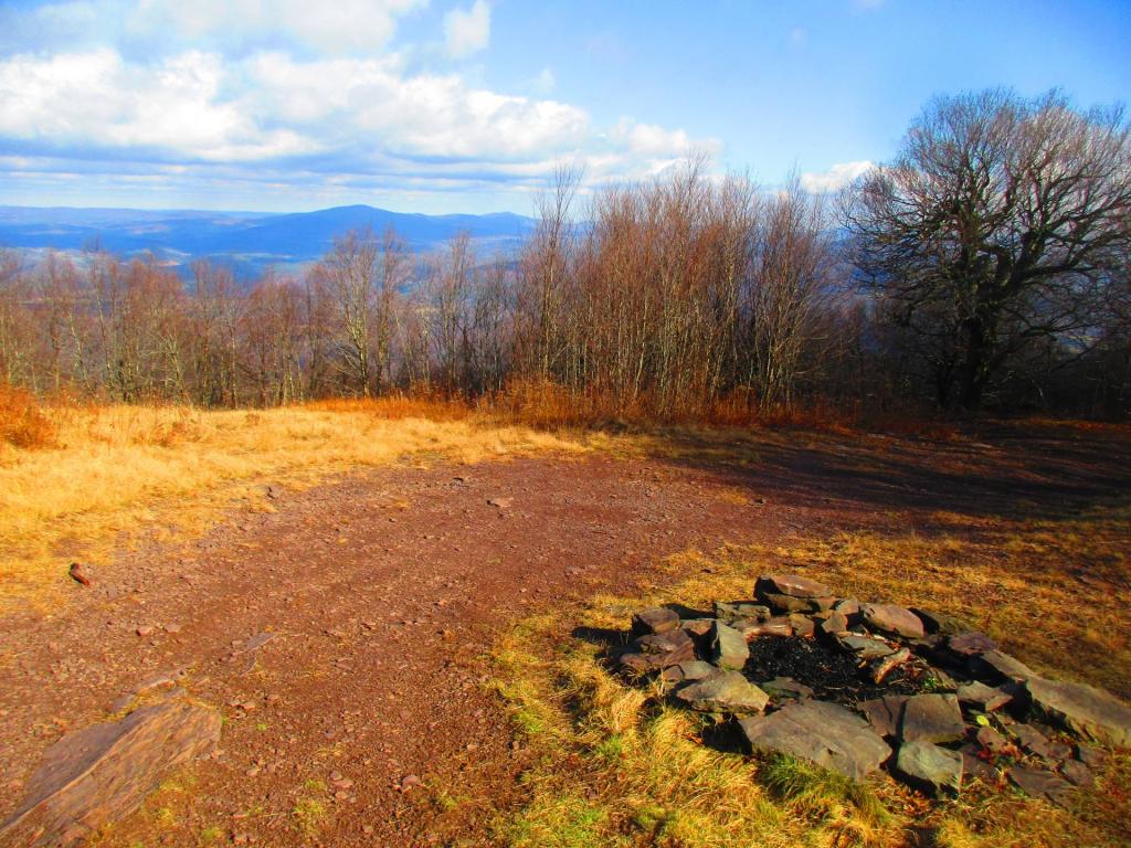
Beyond its natural allure, Bearpen Mountain offers an extensive trail system that beckons outdoor enthusiasts, providing access to both motorized and hiking trails that wind through its captivating landscapes, making it a haven for those seeking immersive experiences in the heart of the Catskills.