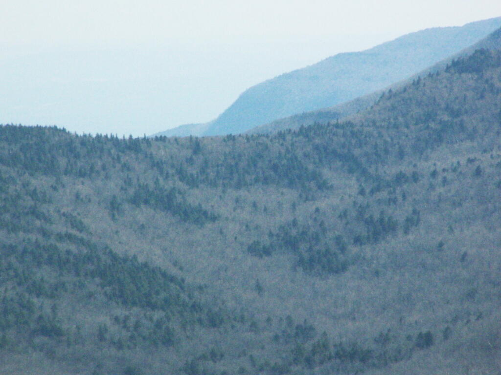
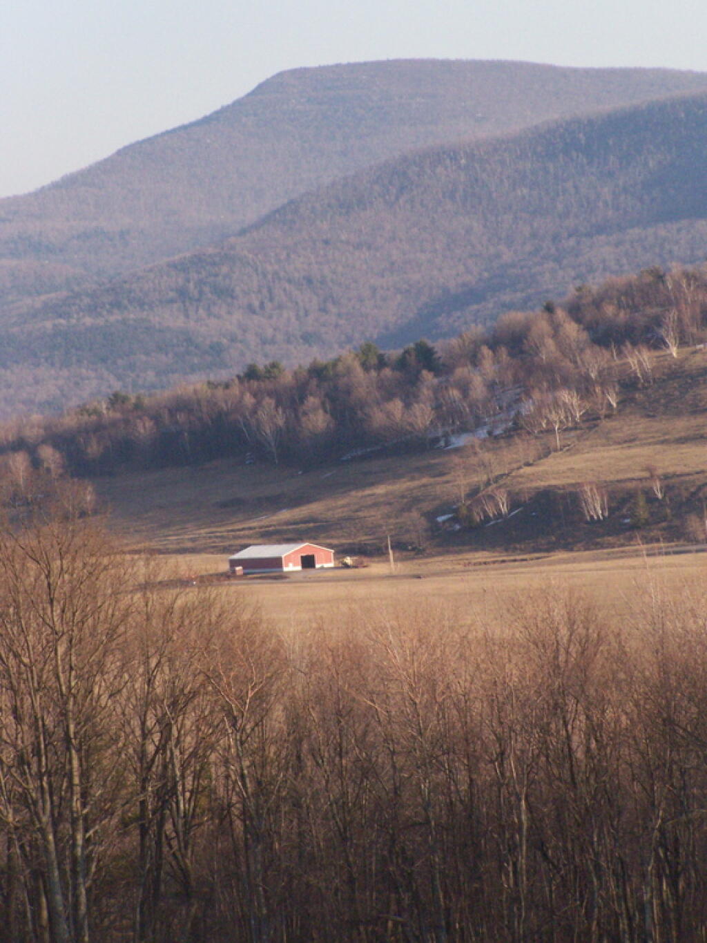
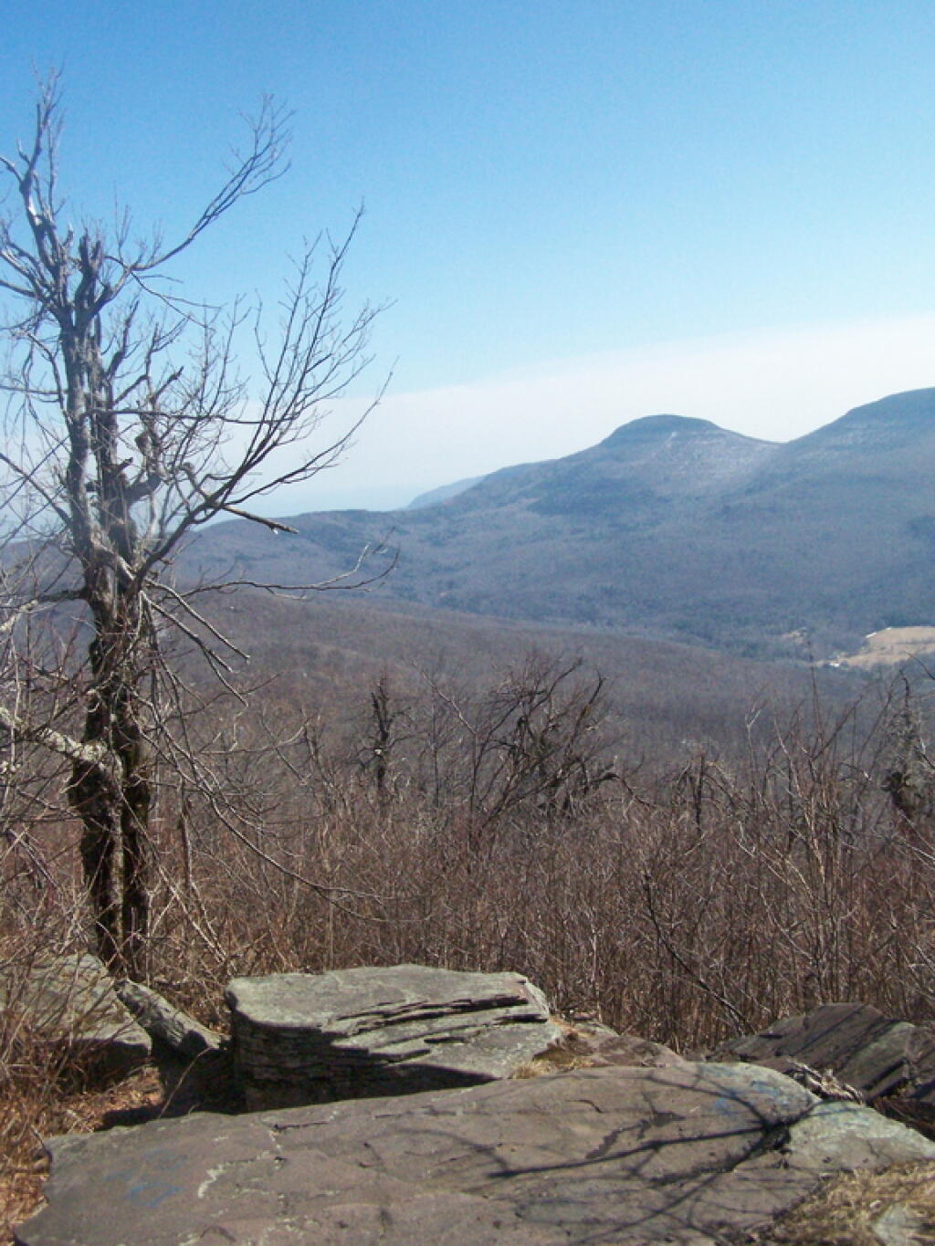
Windham High Peak 📍

Windham High Peak is a mountain located in Greene County, New York. The mountain is part of the Catskill Mountains.

Windham High Peak stands within the watershed of the Hudson River, which drains into New York Bay. The south and northwest sides of Windham drain into Batavia Kill, and thence into Schoharie Creek, the Mohawk River, and the Hudson River. The northeast side of Windham drains into Bowery Creek, thence into Catskill Creek, and the Hudson River.

Windham High Peak is within New York’s Catskill Park. The Long Path, a 350-mile (560 km) long-distance hiking trail from New York City to Albany, is contiguous with the Escarpment Trail.

http://en.wikipedia.org/wiki/Windham_High_Peak

🖼️ Photos
Map: Severence Hill Trail
Thematic Map: Speed Limit on Interstates and State Touring Routes in Capital Region
Map: Shindagin Hollow State Forest Ortho
Map: Empire State Topography

Gray Landscape

There is a million miles where I could take my pickup truck. Past farms and fields. Past cities and roads that pull me along for miles and miles.

I look and I see roads. Amazing roads. Roads that I want to travel.

Saturday January 27, 2007 — Northern Catskills
Terrain Map: Peebles Island Terrian