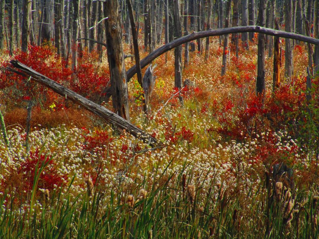
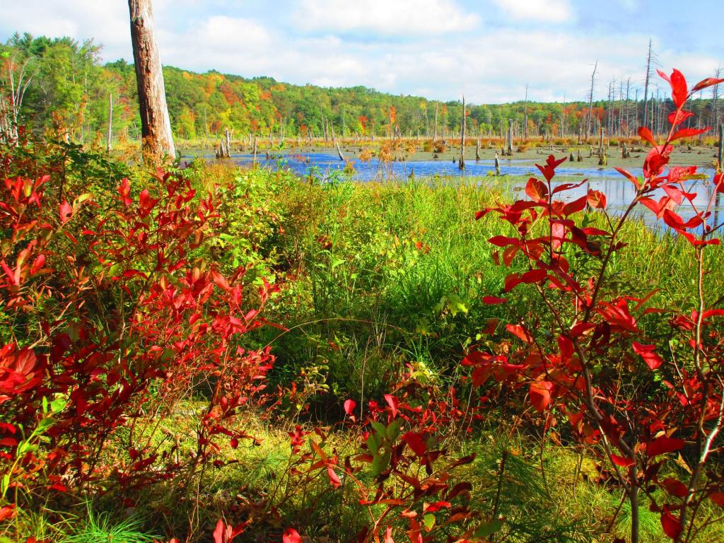
Fall colors




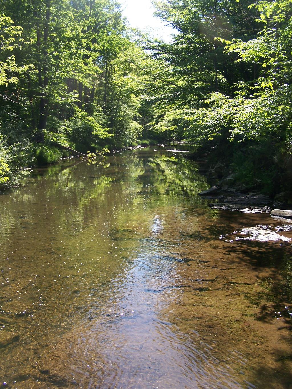
This is the Hannacroix Creek behind my parents house.
Tuesday May 26, 2009 — Dormansville, New York

This is the creek behind my parents house. It has a small swimming hole, that usually about 2-3 feet deep, enough to chill in during the summer.
Tuesday May 26, 2009 — Dormansville, New York