

Turkey coma


Low Head Dam Ahead

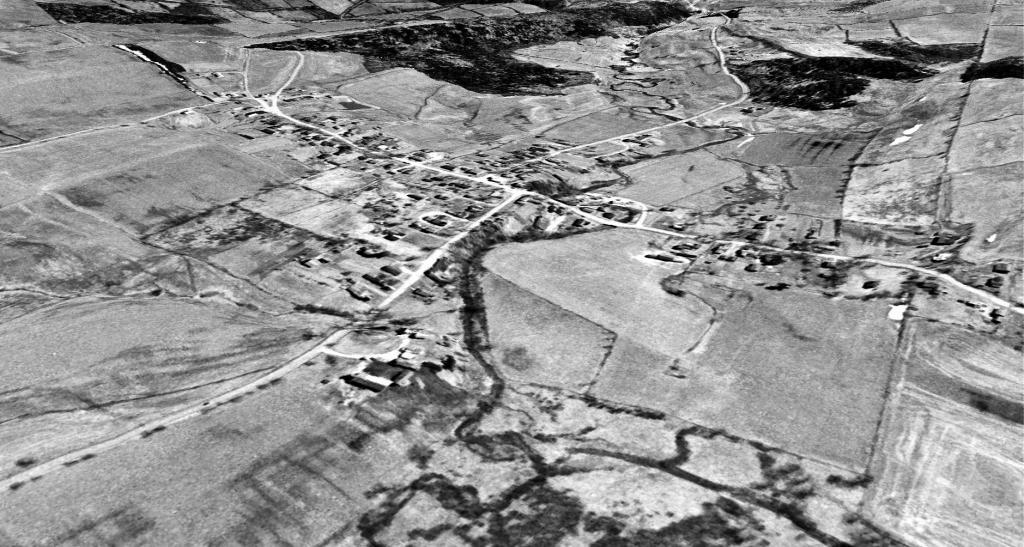
Westerlo and the Basic Creek in 1960
Just another take on this old aerial photo, looking south through the valley the Basic Creek runs. This areas used to be a lot more agricultural then it is today when many farm fields have grown up to woods.

Horses
