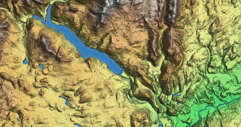
Rondout Reservior
This hillshade terrine map shows the terrain around the Roundout Reservoir.


Catskill Park, 1970
Catskill Map - NYSDEC, 1970
Cadastral map of the Catskill Park, produced for New York State Department of Environmental Conservation to illustrate the general location of New York State lands.
https://mapwarper.net/maps/44107#Preview_Rectified_Map_tab
For comparison sake, on the base map is also shown State Lands in Green to show properties acquired by the state in the past fifty years.

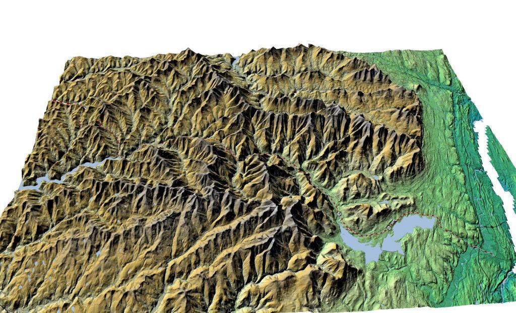
NY 28 through the Catskills
This map gives an overview of routing of NY 28 through the Catskills.