Drives 📍

Still Recovering After Vacation

I really like Northwest Pennsylvania. It’s so wild and different then anything in New York State, without all of the restrictions applied on the land and people of a liberal state like New York. All things rugged and back country are vastly different then in Albany.

Time seemed unlimited on vacation. Eight days and nights sure seemed like a long time. Every morning lighting the cook stove, cooking up breakfast on styrofoam plates, packing up the gear, tearing down camp, and heading out for the day, exploring truck trails and wild landscapes. Set up campsite, turn on Christmas lights, build a campfire, and burn the day’s garbage, while listening to country music with my cowboy hat on.
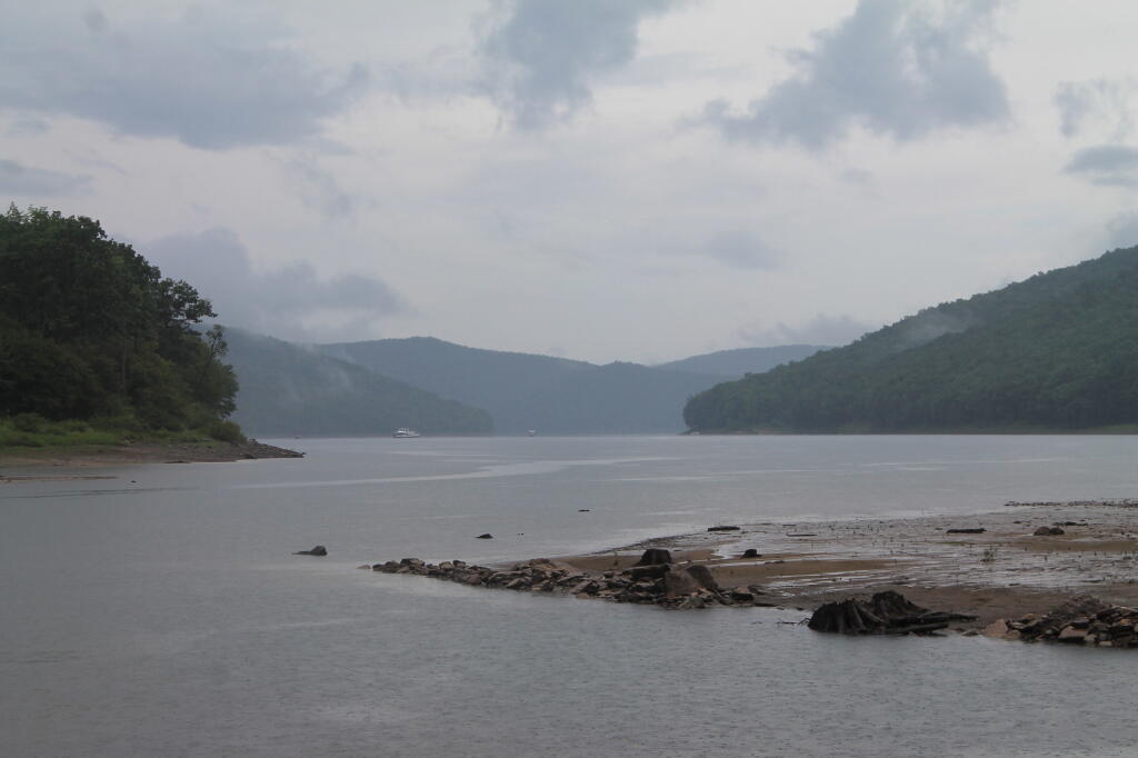
Allegheny Reservior

In contrast, the land of work is vastly different. It’s setting an alarm clock, getting up, making breakfast on an electric stove, and catching the bus to work, and sitting in an office all day. Then come home, cook dinner, wash dishes, and sort the trash for recycling. Walk down to the park or the library. No opporunties to burn anything.

Man cities, and my urban reality in the state that best represents liberal statism, sucks.
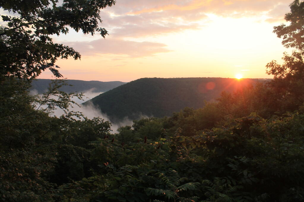
With Fog Below

In eight days, I managed to burn through 86.8 gallons, travel 1490 miles, and got 17.0 MPG. Those truck trails sure make Big Red burn a lot of gas. And I sure need the $310 to cover the cost of gas, plus the other $90 for beer, food, and supplies. Hell, even the styrofoam plates and paper towels aren’t free.

I also realize that I won’t be up for such an adventure for quite a while. It’s a mix of money and just getting the time off, but the reality is I probably won’t be back in Pennsylvania for a while. Somehow, trips to Adirondacks don’t seem so far or exciting, as Northwest Pennsylvania.
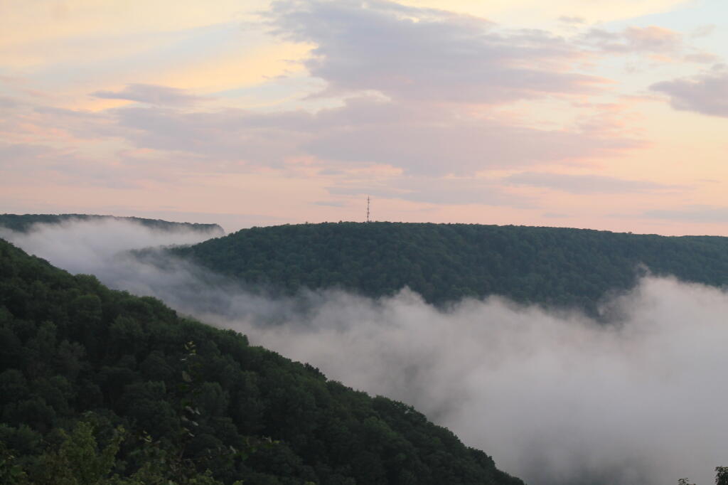
Radio Tower

After looking forward to this trip, all that is left is some pictures, burn out tin cans for recycling, and the hang-over made up of memories.
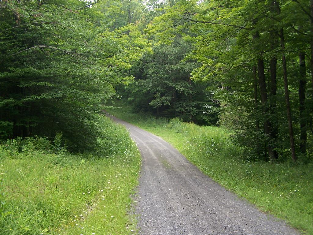
Brookfield Auto Trail

The Brookfield Auto Trail is located in the Charles Baker State Forest, a large state forest and popular equestrarian area that gets much use. Much like you would expect in such an area, there is a lot of mud, lot of horses and horse flies. I did a drive through of the truck trail, but was under impressed by it all.

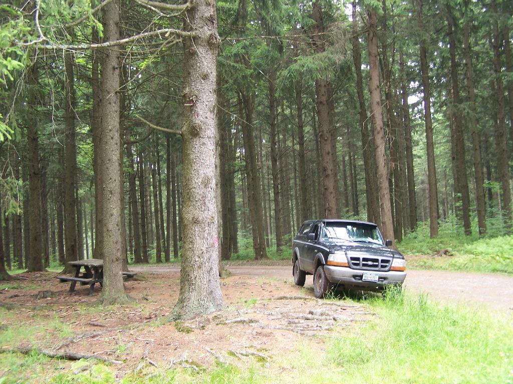
Truck Trail #6

CNY Hiking did a great write up about it, so I won’t go through all of it, but I will make some brief comments about it. CNY Hiking has pictures from all of the stops, and a copy of the map and associated tour pamplet that is also avaliable at the main-horse Assembly Area on Moscow Road.

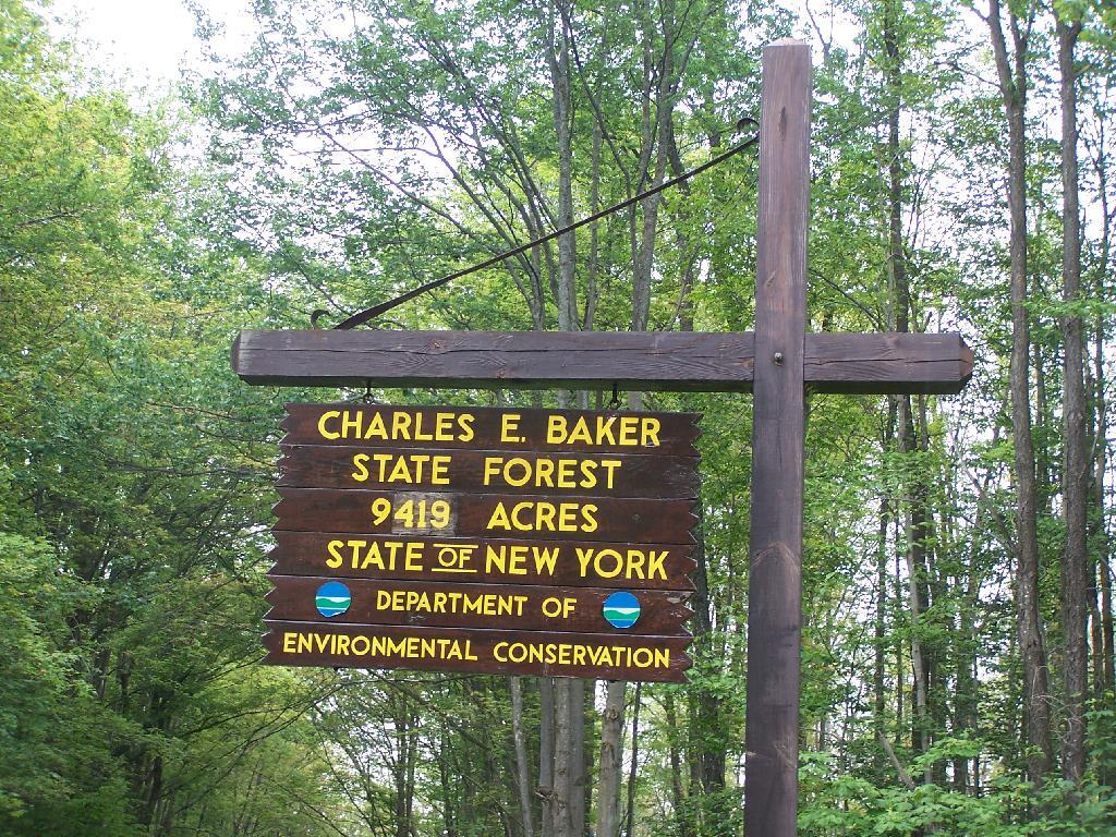
Charles Baker Sign

Next to the Assembly Area is a Camping Area, with 21-sites closely put together. I was not a big fan of them, simply because they where too dense, particularly for equestrain use. They should have been far more spread out, like along the many miles of truck trail, or at least with a little more privacy.

Truck Trail #6

Almost all the miles of truck trail where easy to follow, and nice and smooth. The trails where gravel and well maintained, although some of the markers had disappeared into the grass.

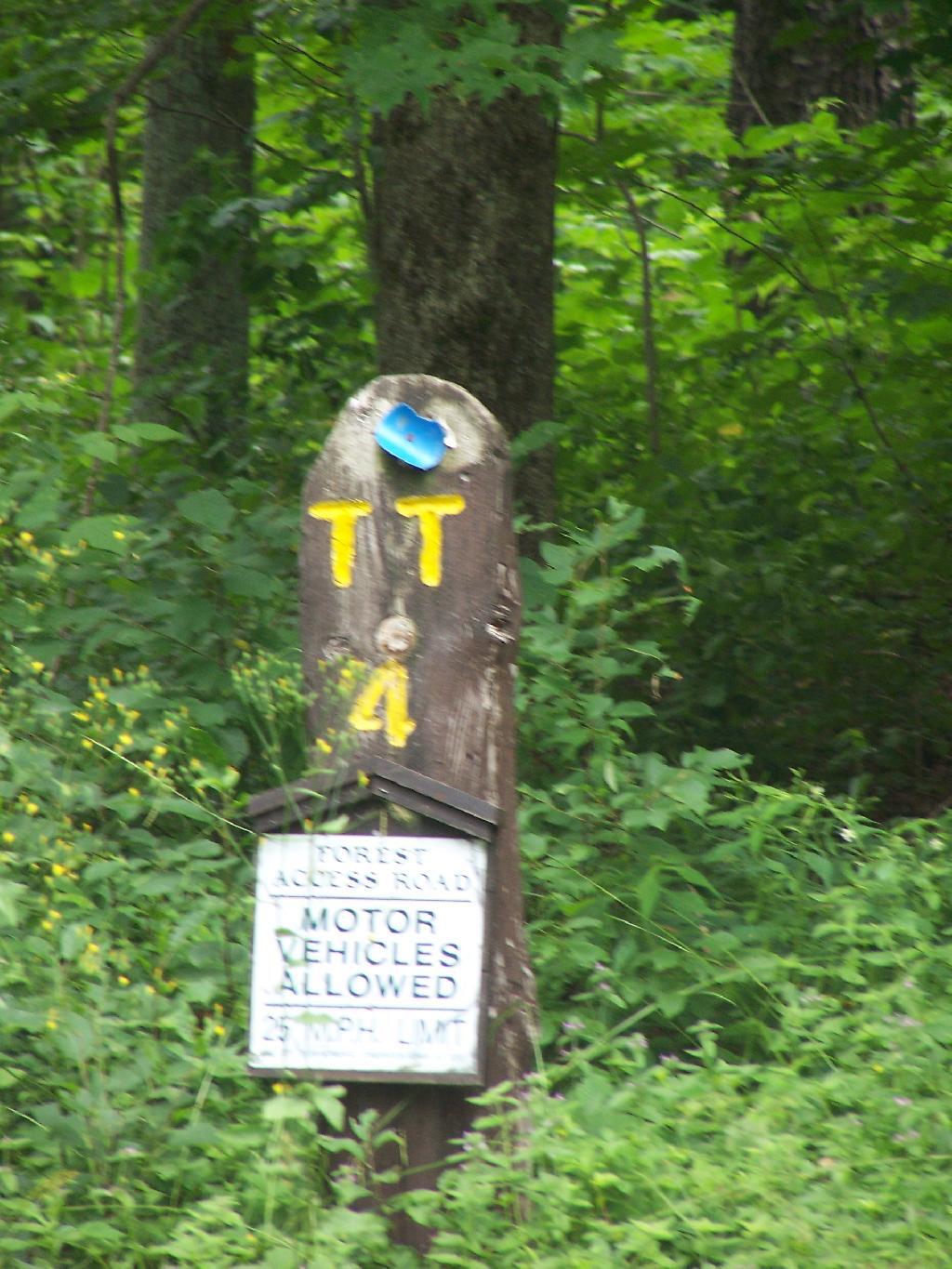
TT 4

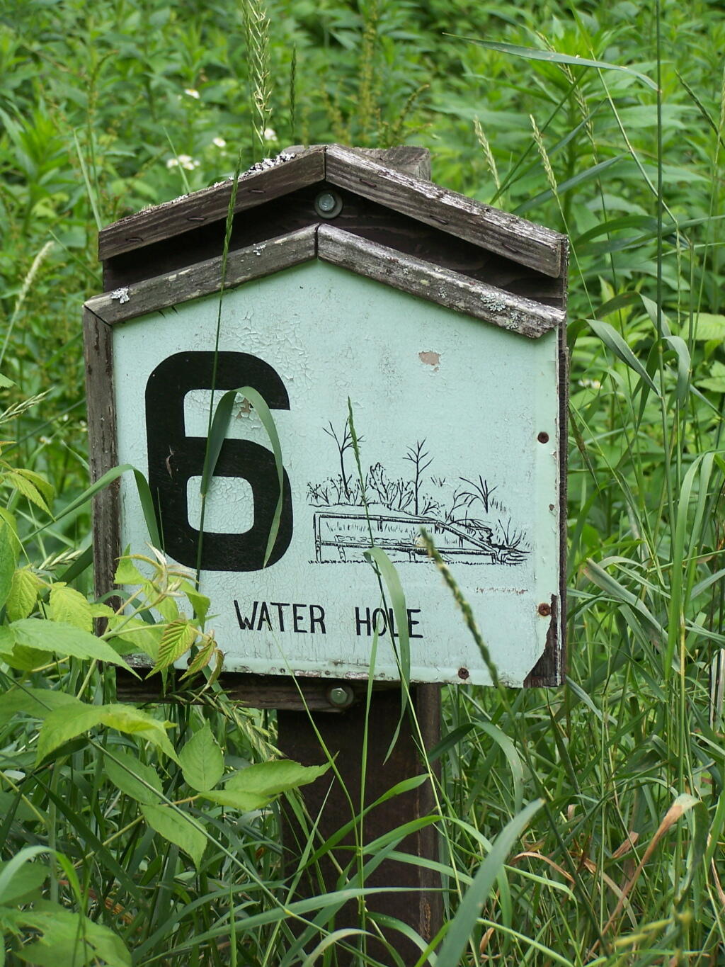
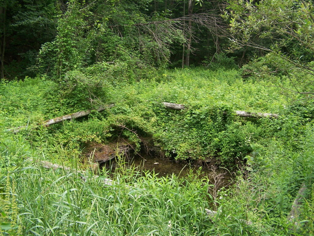
Many of the stops are moderately interesting, although there are no great vistas in the entire route, which is relatively flat except for a few moderate hills and valleys. One of the more interesting stops is the No 6. Water Hole, dug originally for firefighting.

Stop 6: Waterhole

Dug Waterhole

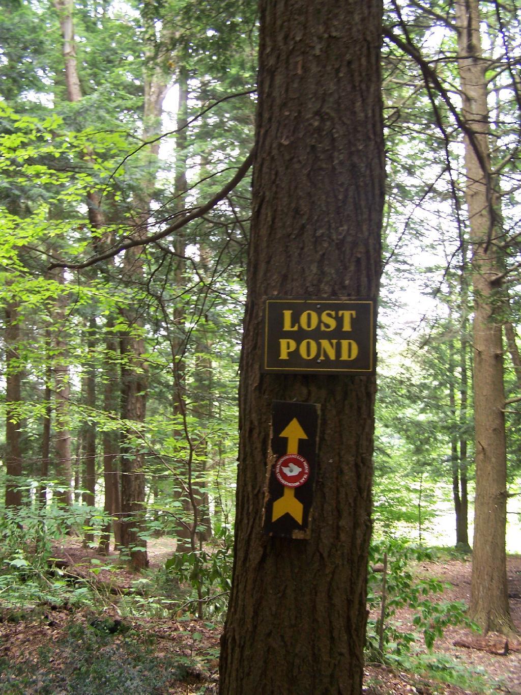
There are no large ponds at Charles Baker, although Lost Pond is a man-made pont in one of the valleys. It is very rough country around there, and muddy from the horseys.

Lost Pond Sign

Lost Pond Sign

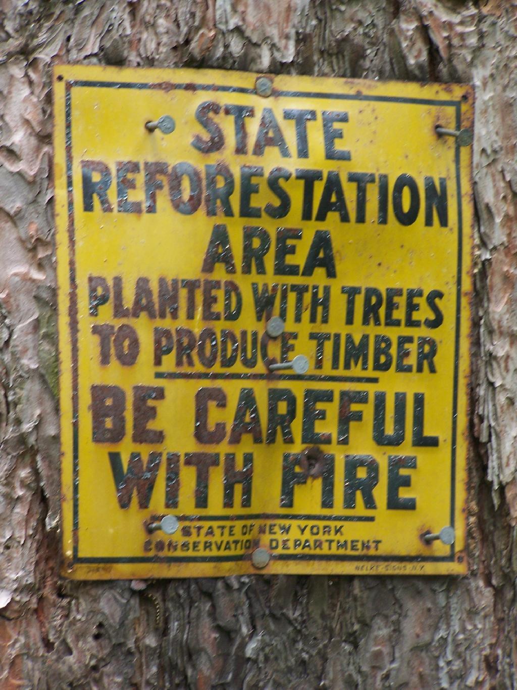
Along Truck Trail Number 6, there is this fascinating old marker nailed on to one of the White Pines in the planation.

State Reforestation Area: Be Careful With Fire!

The best part of the Charles Baker Auto tour is no more, the old firetower site. The fire tower was demolished in 1978, and supposedly was a very popular end to the tour, with views of the valleys surrounding the Charles Baker State Forest.

At Old Firetower Site

Here is a map of the route, although I also recommend you see the CNY Hiking Write Up.


View Charles Baker Auto in a larger map
SVGZ Graphic: Central NY Population Density
SVGZ Graphic: Mohawk Valley Population Density

5 Ways I’ve Driven From Albany to Plattsburgh

Back when I was in college, I used to drive back and forth between Plattsburgh and Albany a lot. I used to try a variety of routes, some more indirect then others, to see the scenery, especially when I had extra time to burn in the afternoon.

1) Via the Adirondack Northway.

The most direct and quick way is via the Adirondack Northway (I-87) all the way up.

2) Via 9N Through Ticonderoga – West Side of Lake George.

This way is really slow as you wind your way up and over Tongue Mountain, and through all the little resort towns along the west side of Lake George.

3) Via NY 22 – East Side of Lake George.

This route is moderately fast. There is some spectular secenry along NY 22 as you head from Whitehall to Ticonderoga, with sweeping views of Lake Champlain.

4) Via Lake Champlain Bridge and Burlington.

I quite often would take this route over the old Lake Champlain Bridge when I wanted to visit Burlington. The old bridge was beautiful, as is the landscape after you cross into Vermont. Burlington is an amazingly nice city too.

5) Via NY 22A and Burlington.

I used to come back via Burlington some times, by taking VT 22A through the dairy country of southern Vermont. The land is pretty flat, and VT 22A, but there are still some amazing views of the Adirondack Mountains along this route.

Terrain Map: Mahanoy Mountain
Map: Tenant Creek Falls Trail