Sugar Hill Reservior 📍

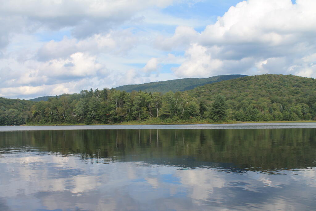
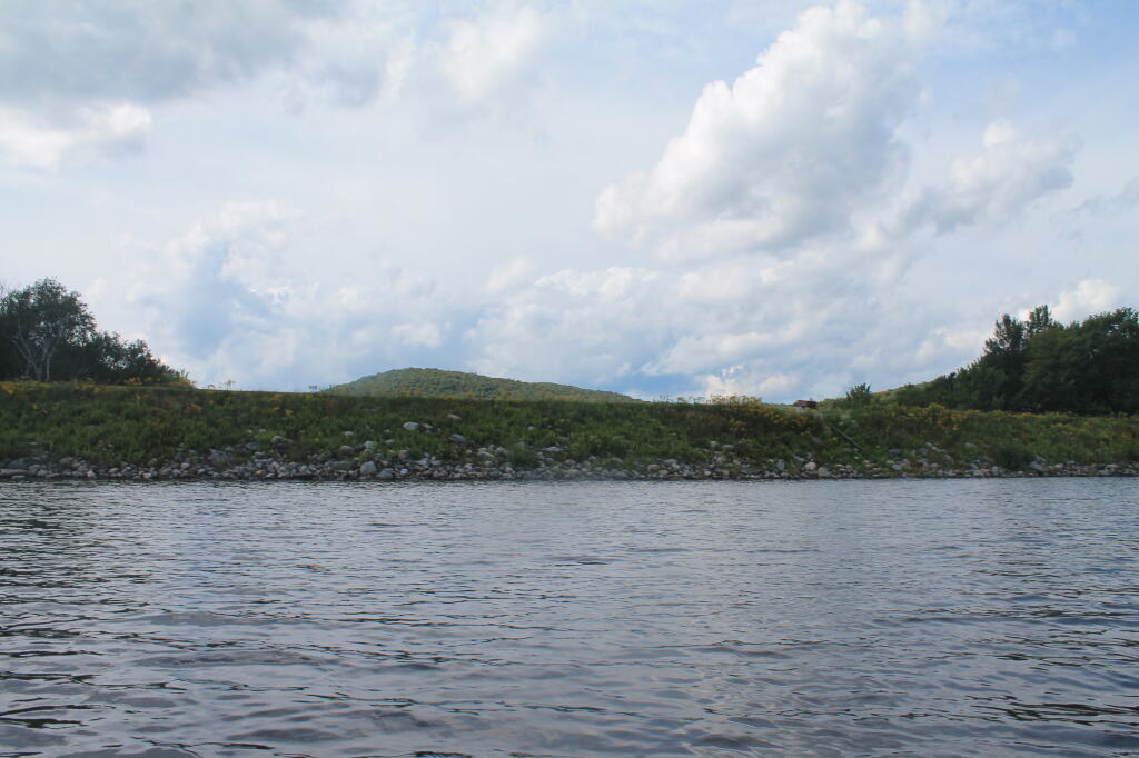
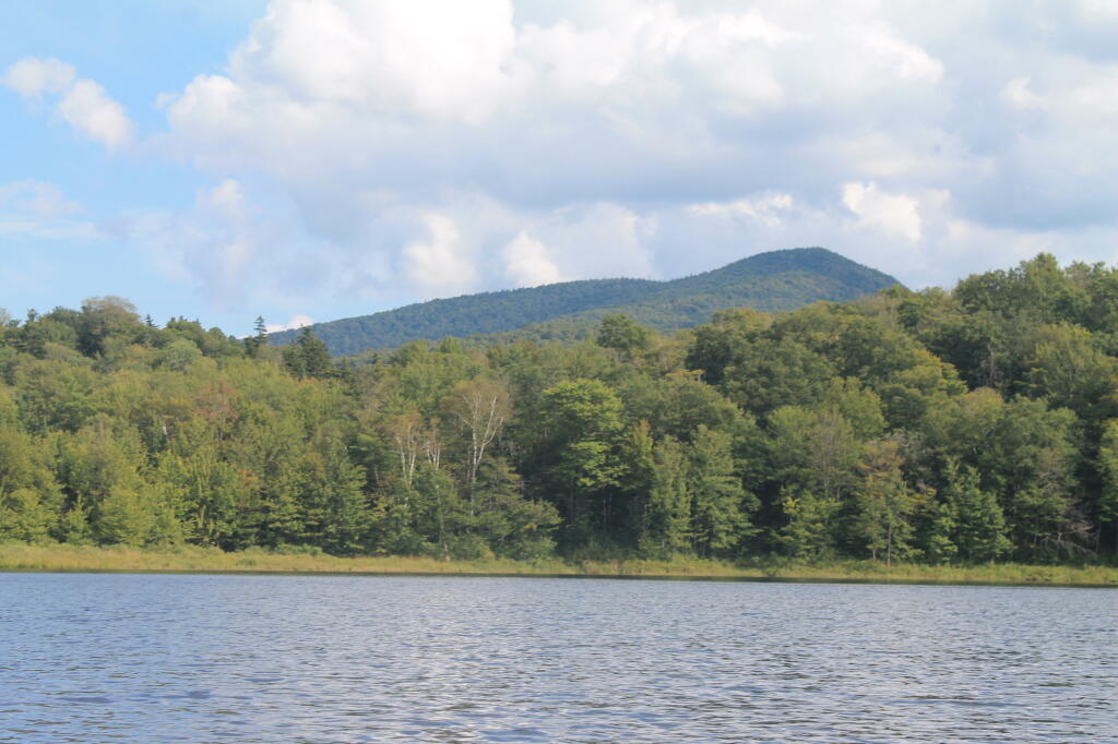
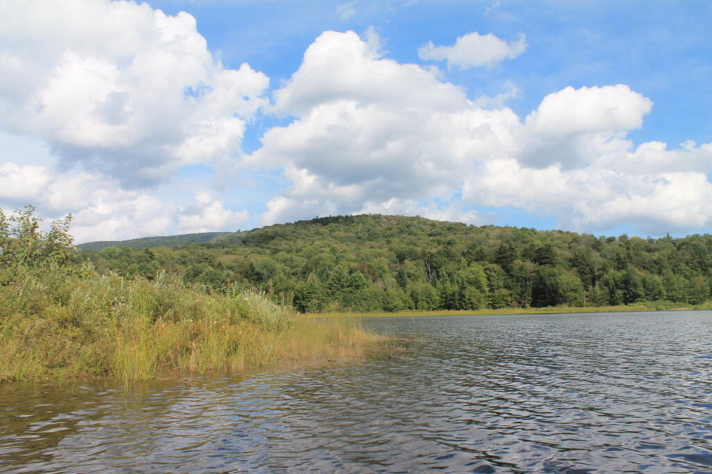
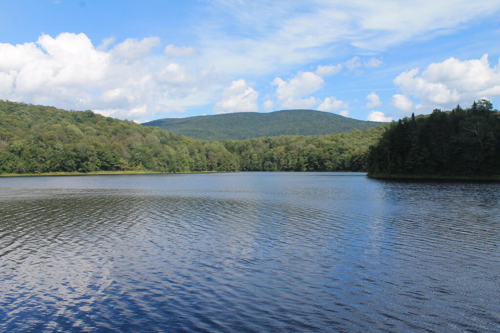
Sugar Hill Reservoir is a 15-acre reservoir with an elevation of about 1770 feet with portions of the lake 25-30 feet deep, located in Goshen, VT. There is a boat launch, fishing dock, and offers a paddling opporunity with views of Worth Mountain and Gillepse Peak.

🖼️ Photos
Map: Sliding Rock Falls at Hannacroix Ravine Preserve on Cass Hill Road
Map: Battery Diagram
Map: Stone Dam Lake
Thematic Map: 2.5 million New Yorkers live within a half mile of a landfill
Map: Rome Wildlife Management Area
Terrain Map: Heldebergs
OpenStreetMap: One of the World's Largest Collaborative Geospatial Projects - GIS Lounge