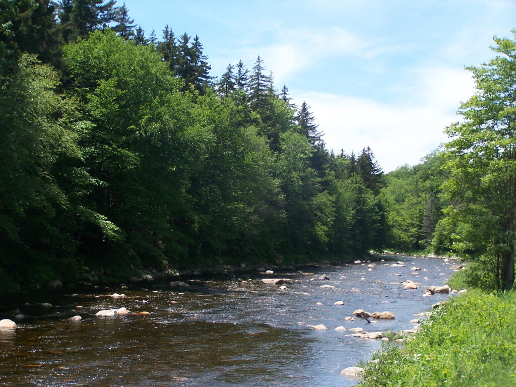
Rocky Deerfield River
Not sure if this part is exactly paddle-able, even if you like white water. Not for me.
Sunday June 19, 2011 — Somerset Airfield
Not sure if this part is exactly paddle-able, even if you like white water. Not for me.
Sunday June 19, 2011 — Somerset Airfield

There was this amazingly scenic section, right on the river.
Sunday June 19, 2011 — Somerset Airfield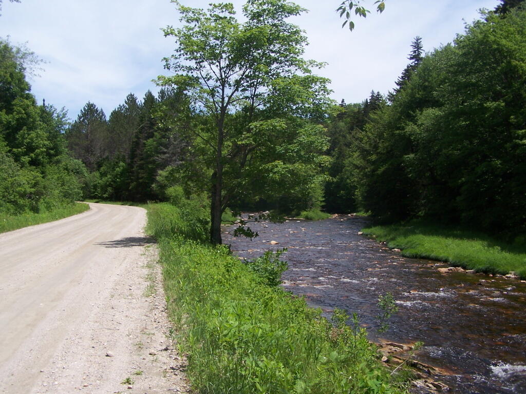


There is a popular roadside camping area near this bridge to the right, as Castle Road/Forest Road 325 splits on off.
Sunday June 19, 2011 — Somerset Airfield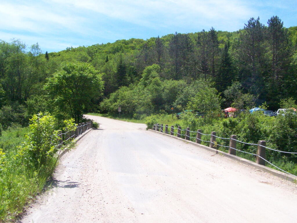
I don't know why, but when I stopped to take some pictures, I had to get out and walk a little ways. Not a problem, but it seemed kind of strange.
Sunday June 19, 2011 — Somerset Airfield
