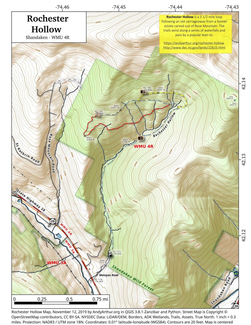
Rochester Hollow
Rochester Hollow is a 3 1/2 mile loop following an old carriageway from a former estate carved out of Rose Mountain. The trails wind along a series of waterfalls and pass by a popular lean-to.
For more information see:
https://upstatedispatch.com/2018/07/rochester-hollow-shandaken-wild-forest/
http://www.watershedpost.com/2015/rochester-hollow-hidden-catskills-trail
https://sceniccatskills.com/map-location/rochester-hollow/?mpfy-pin=706
http://www.dec.ny.gov/lands/22615.html