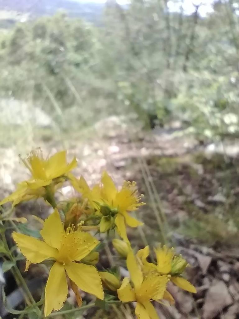
Yellow Flowers


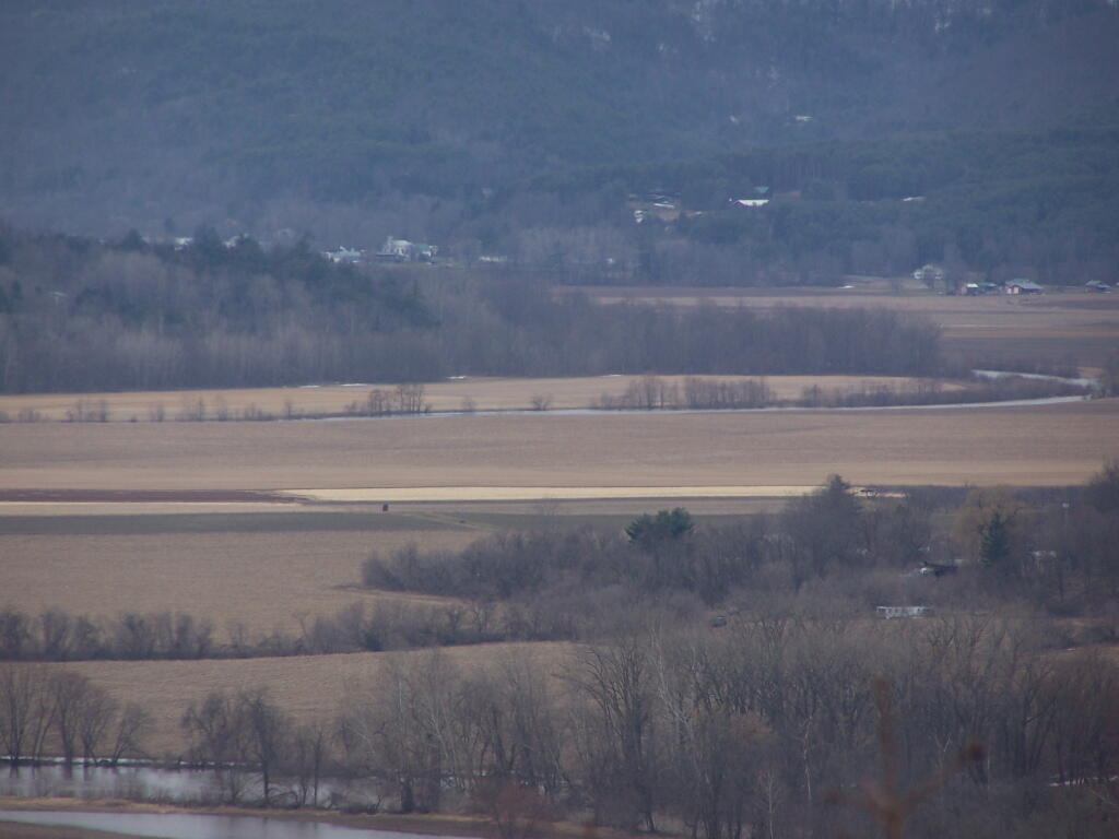
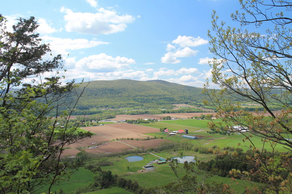
I posted a 3D model of Schoharie Valley looking north towards the Adirondacks. Recognizing that people may want a more detail exploration, check out this interactive map of land use in Schoharie Valley. You can scroll it north to Mohawk Valley or zoom in further detail.


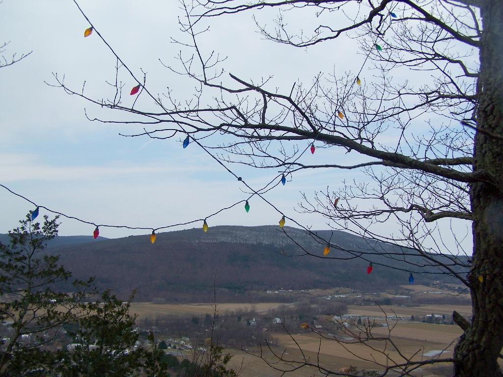
One of the stranger parts of the Cliff of Middleburgh is that a good portion of the cliff has Christmas Lights strung along the trees. Apparently during Christmas time, they light up the Cliff with Christmas lights. They've switched over a to a lot of LED lights, and the must power them by a generator.
Sunday March 21, 2010 — Middleburgh Cliff