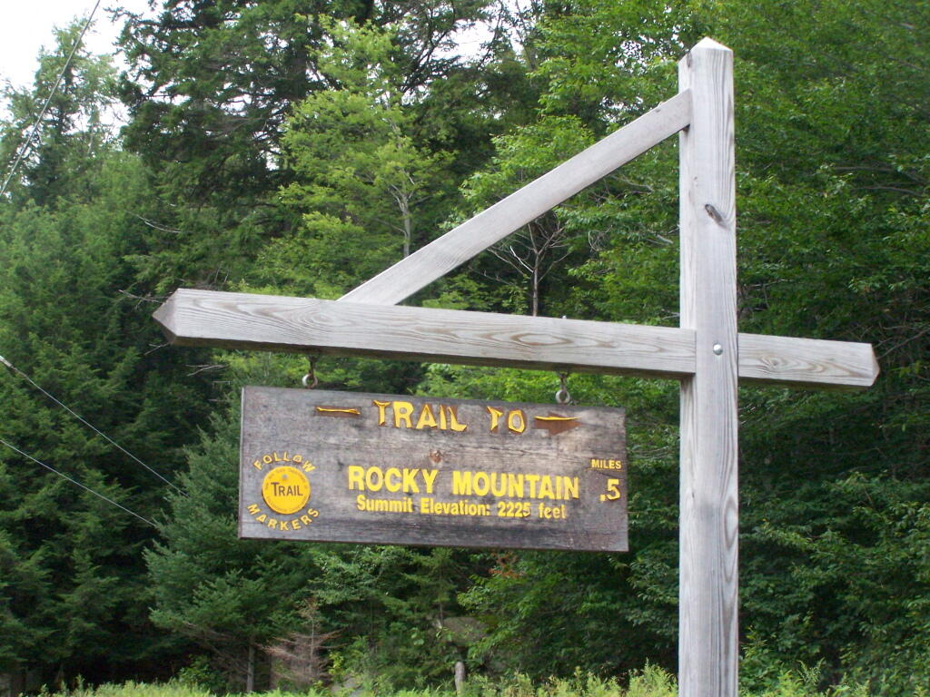
Rocky Mountain Trailhead Sign
Which is great they tell us the elevation of the mountain, but what is the elevation of the parking area? While I know the hike is only an ascent of 400 feet, why couldn't they just tell us that fact? Silly DEC!
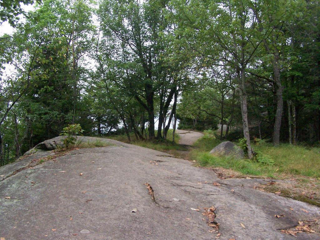
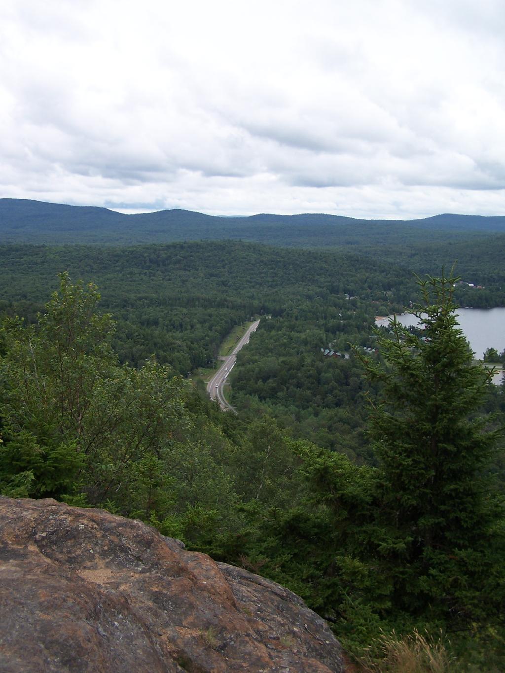
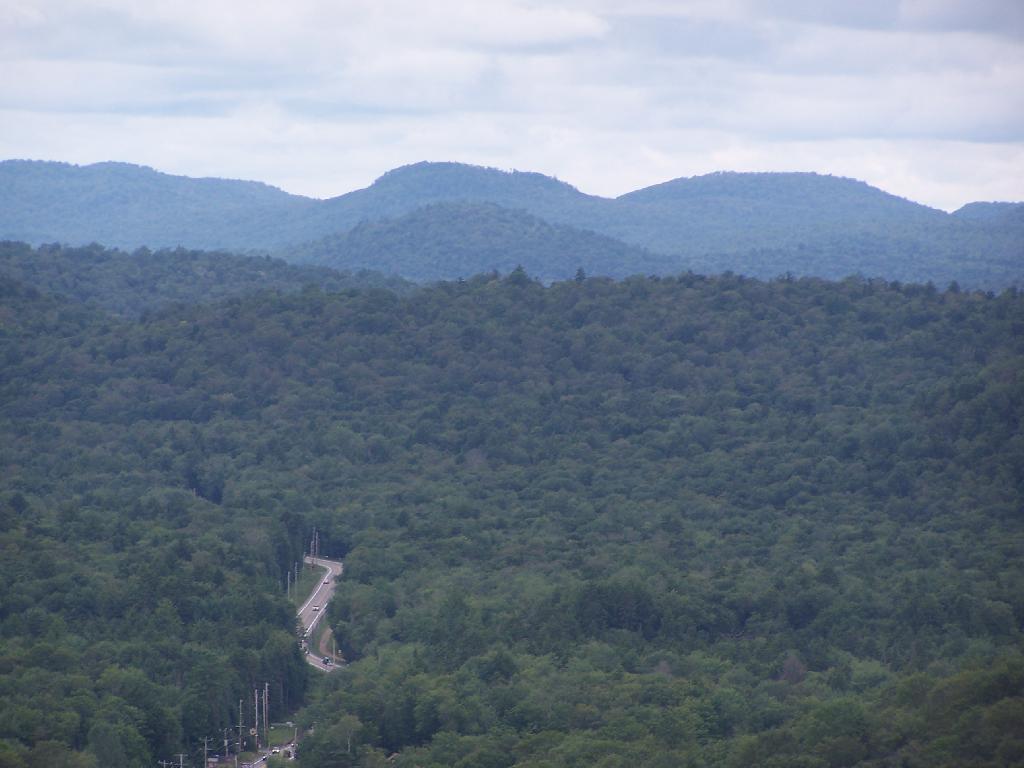
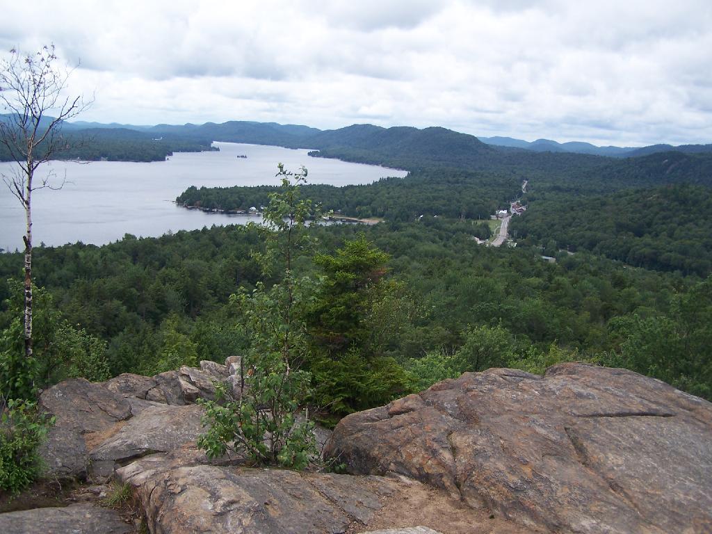
Sunday July 25, 2010 — Rocky Mountain (Inlet)