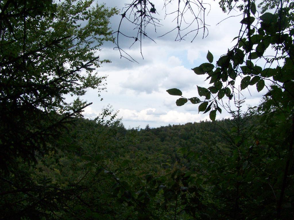
Looking Back While Climbing
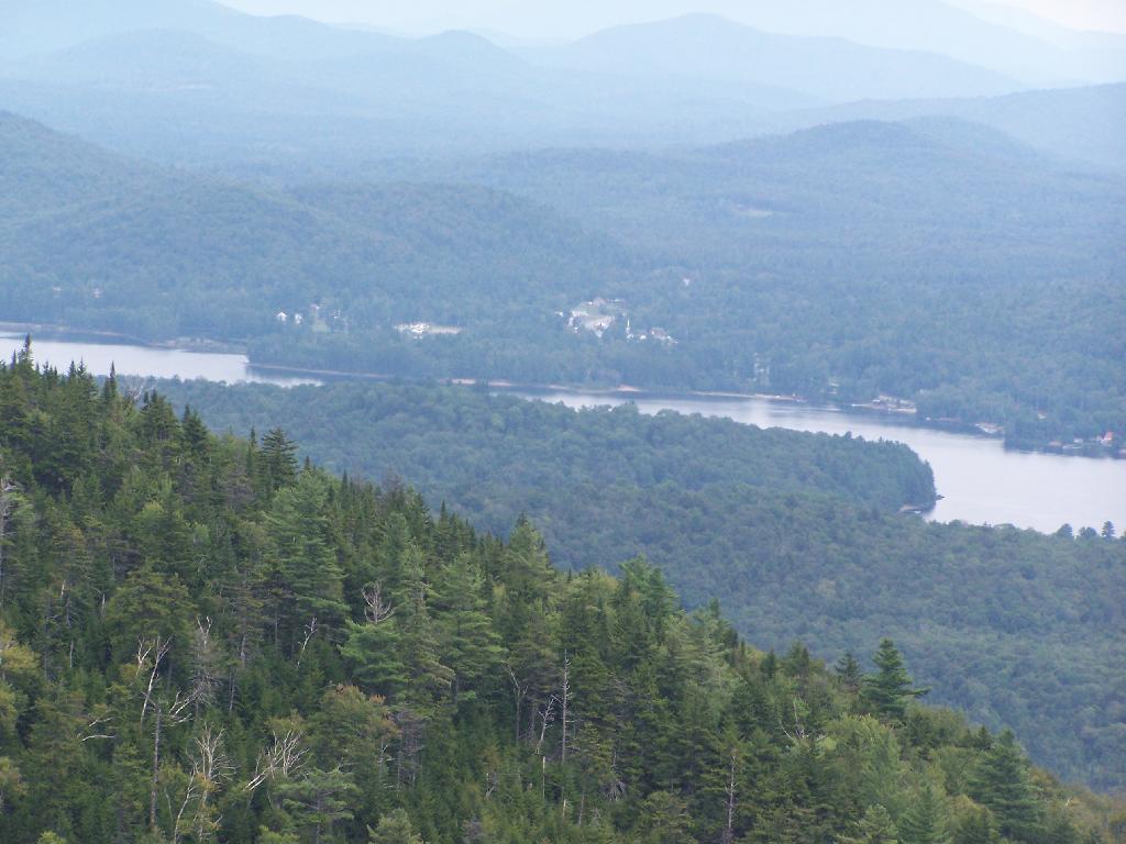
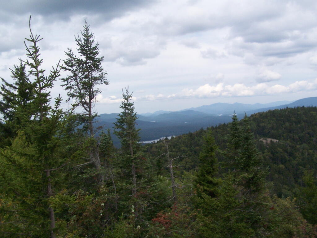
As you climb that final bit up Owls Head, there is a ridge located above the little low spot where the Ranger's cabin is located between the col and Owls Head. The Ranger's cabin was probably located in such a lower elevation due to access to a spring.
Thursday August 12, 2010 — Owls Head Mountain Firetower (Long Lake) — Owls Head Firetower 🗺