Saranac Lake

As you climb that final bit up Owls Head, there is a ridge located above the little low spot where the Ranger's cabin is located between the col and Owls Head. The Ranger's cabin was probably located in such a lower elevation due to access to a spring.
Thursday August 12, 2010 — Owls Head Mountain Firetower (Long Lake) — Owls Head Firetower 🗺

While hazy today, you can see village of Long Lake quite well from the tower. It's always crazy there, and I try to avoid towns whenever I'm in the Adirondacks.
Thursday August 12, 2010 — Owls Head Mountain Firetower (Long Lake) — Owls Head Firetower 🗺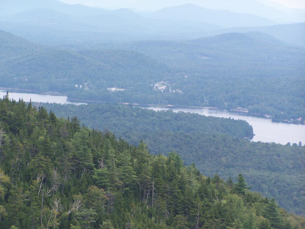

Again, just looking north towards the High Peaks and Saranac Lake region.
Thursday August 12, 2010 — Owls Head Mountain Firetower (Long Lake) — Owls Head Firetower 🗺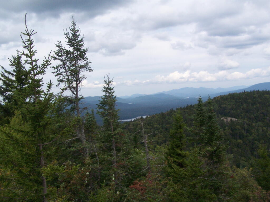

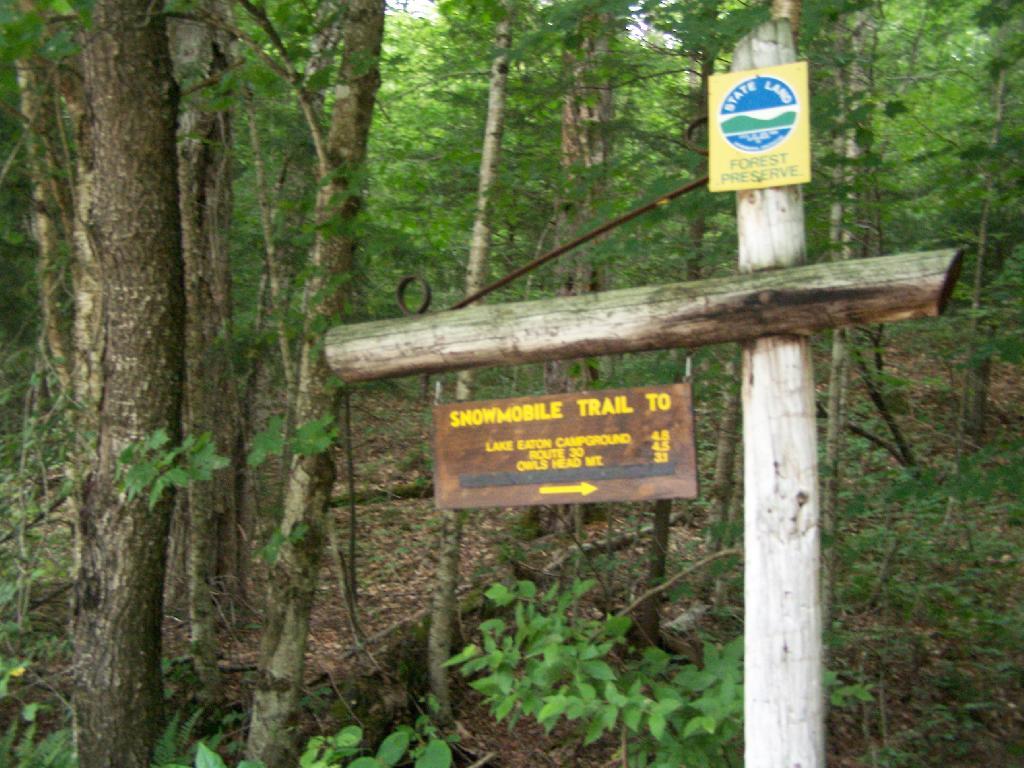
There is a snowmobile and a separate hiking trail up Owls Head Mountain. I took the hiking trail up, although it looks like per the DEC Land Mapper program, that the snowmobile trail roughly follows it on an old woods road. The snowmobile trail is not visible from the hiking trail in the summertime.
Thursday August 12, 2010 — Owls Head Mountain Firetower (Long Lake) — Owls Head Firetower 🗺