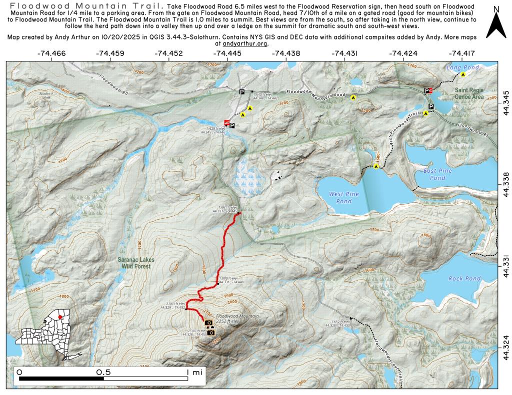
Monongehella and Geo Wash. National Forest Campsites, Shelters, Observation Towers and Scenic Vistas
Interactive map of various campsites, shelters, scenic vistas and observation towers that I created by a mix of heads up digitizing and querying the OpenStreetMap for West Virginia. The heads up digitizing is a bit rough as it is based on memory and I don't get to West Virginia all that often. You will need to zoom in to see the Forest Service Topographic Maps.
Some of this data is ©️ OpenStreet Map Contributors, Open Data Commons Open Database License (ODbL).
Rock Cut Heading Down From Cannaan Heights
Deep rock cut heading off of Canaan Heights, along WV 32.
Sunday November 3, 2019 — Monongahela National Forest — Blackwater Canyon Trail 🗺 — Forest Road 13 Informal Camping Opporunities 🗺 — Monongahela National Forest 1:24k Topographic Map Index 🗺 — Olson Fire Tower 🗺— PDF with All Maps 📚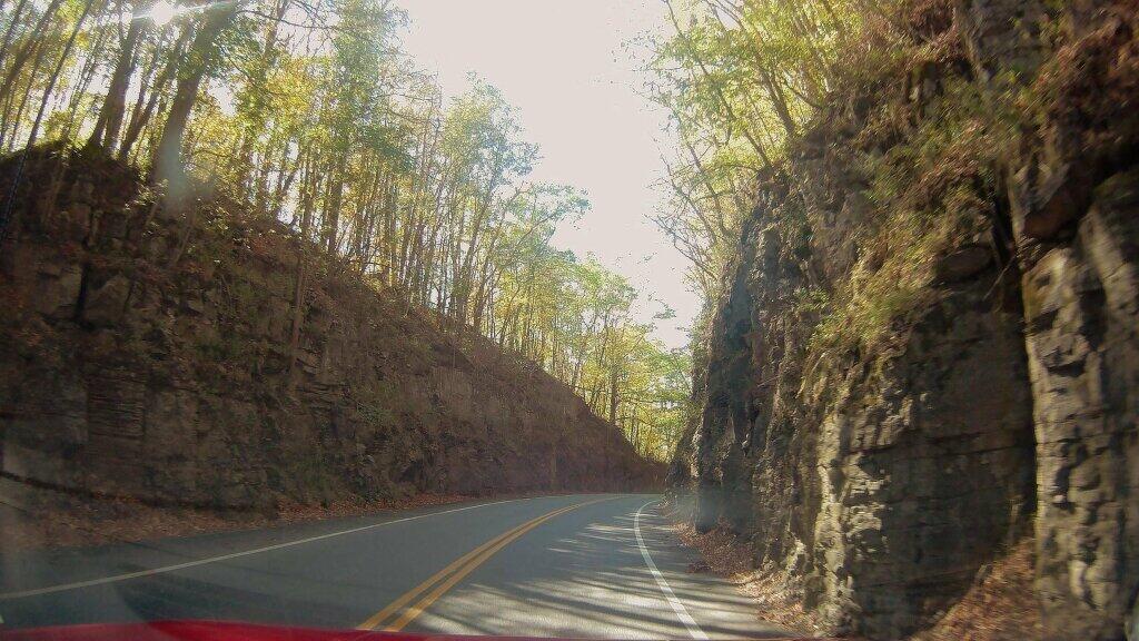

Mountain Laurel – Birch – Maple Forest
Dense mountain laurel exploring one of the trails in the Canaan Heights.
Saturday October 12, 2019 — Monongahela National Forest — Blackwater Canyon Trail 🗺 — Forest Road 13 Informal Camping Opporunities 🗺 — Monongahela National Forest 1:24k Topographic Map Index 🗺 — Olson Fire Tower 🗺— PDF with All Maps 📚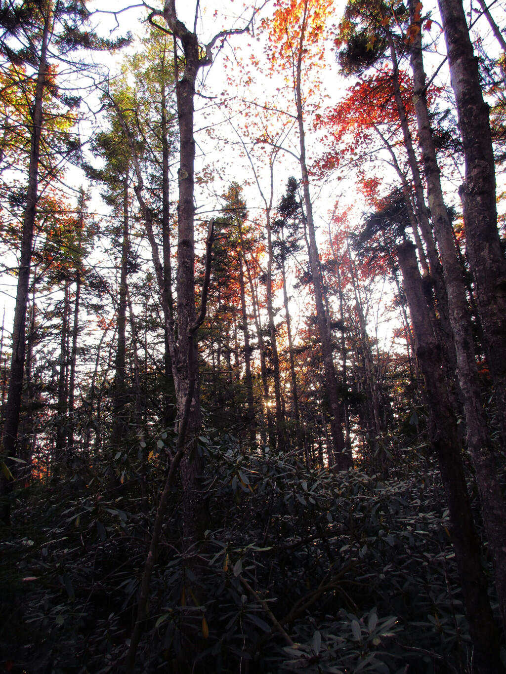

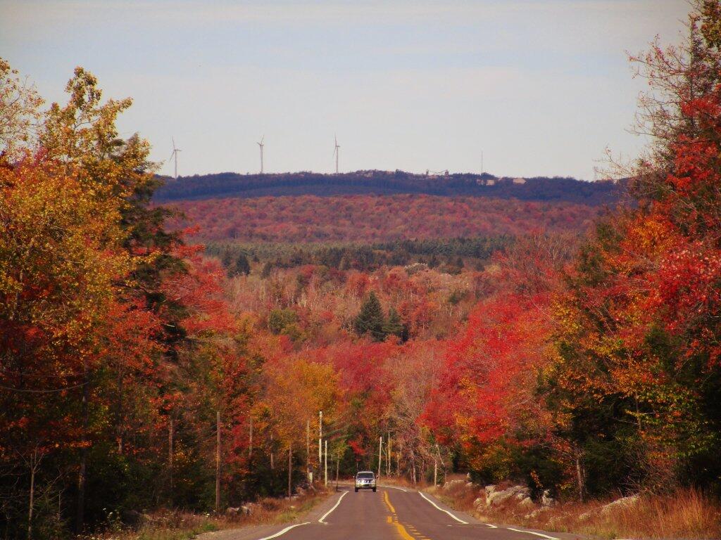
WV 32
Heading down to Thomas WV on beautiful WV 32 in Cannaan Heights.
Sunday October 13, 2019 — Monongahela National Forest — Blackwater Canyon Trail 🗺 — Forest Road 13 Informal Camping Opporunities 🗺 — Monongahela National Forest 1:24k Topographic Map Index 🗺 — Olson Fire Tower 🗺— PDF with All Maps 📚