Burlington vs Plattsburgh
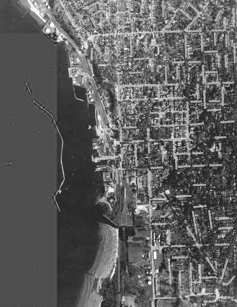
Burlington is a larger and more sprawling city compared to Plattsburgh on the other side of the lake.
Burlington is a larger and more sprawling city compared to Plattsburgh on the other side of the lake.

Morrisville is a village in the town of Morristown, Lamoille County, Vermont, United States. As of the 2010 census, the village population was 1,958. Morrisville has two country clubs, a hospital, a school featuring Greek architecture and an airport.
")
A lot of people think cows when they think of the Green Mountain State. Vermont often celebrates it's rural heritage and agricultural is a big part of land use along Lake Champlain but the same can't be said about the Northeast Kingdom of Vermont. While there are certainly farms up that way, there is a lot less crop growing then some of the real agricultural areas of New York.

Small farm town nestled in the hills of Northern Vermont.