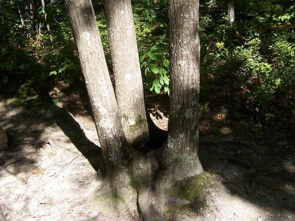
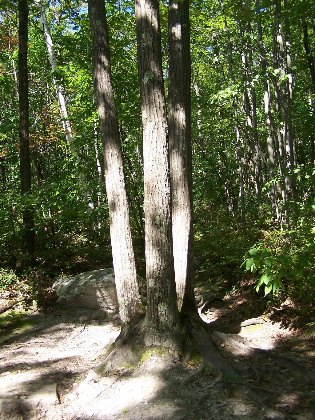
Three Oaks form a Pool



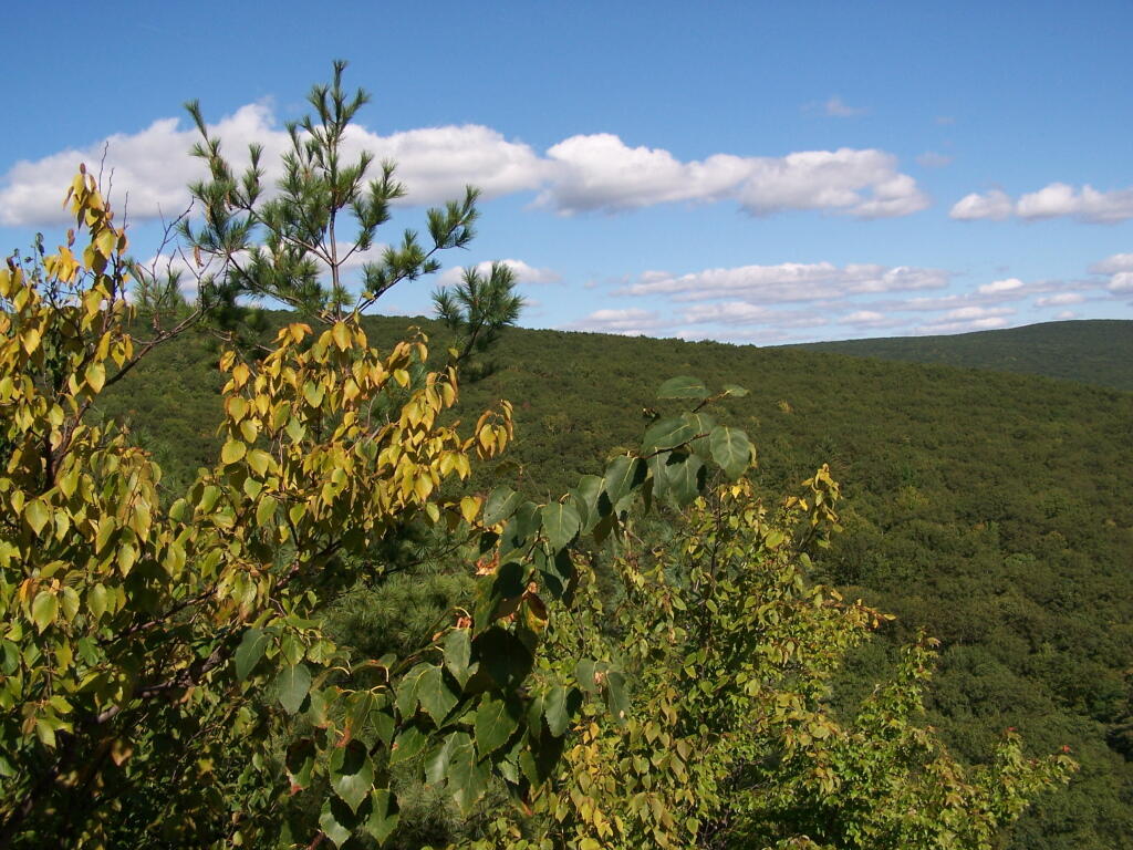
This all that remains of the long-gone East Mountain Fire Tower, that once overlooked the northern Berkshires and western Taconics.
Sunday September 6, 2009 — Pine Cobble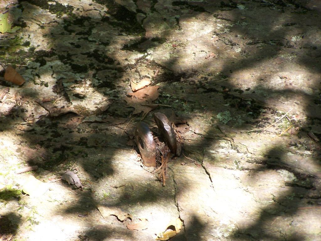

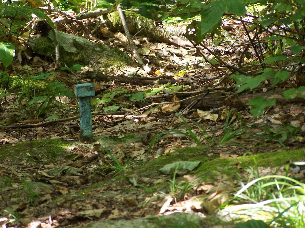
The US Department of Agriculture has this survey marker right on the Vermont-Massachussets border should somebody need to know if they've broken a law in one state or another, or more likely, to deliminate where USDA jurisdiction (Green Mountain Forest) ends, and MassDEP jurisdiction starts (Pine Cobble).
Sunday September 6, 2009 — Pine Cobble