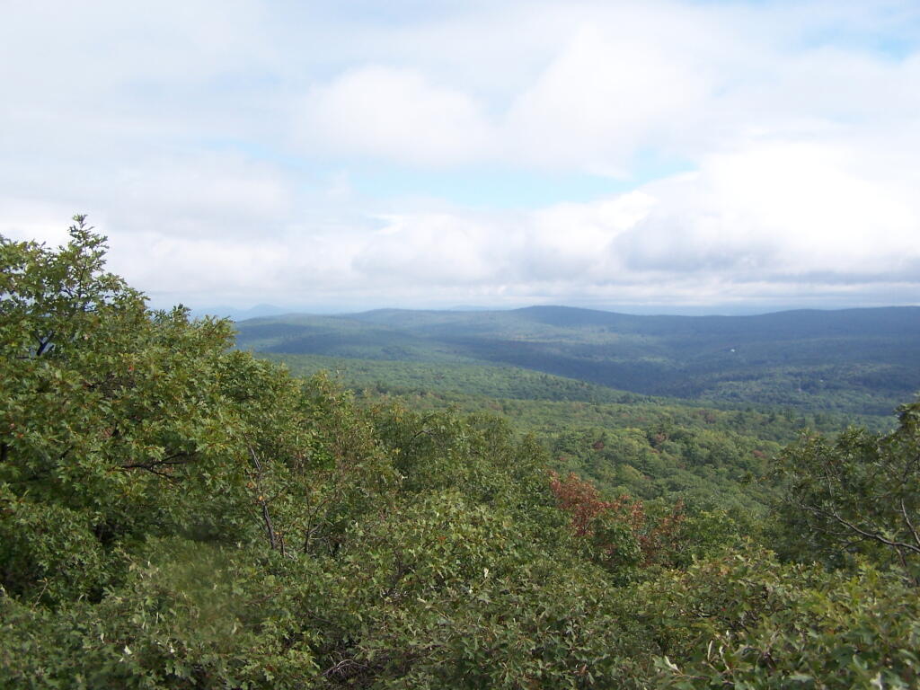
Clearing Clouds
Watching the amazing process as the clouds float to the east and things get progressively clearer.
Sunday September 13, 2009 — Alander Mountain
Watching the amazing process as the clouds float to the east and things get progressively clearer.
Sunday September 13, 2009 — Alander Mountain

I knew there would be some fog that would have to burn off this morning. And much like I expected, it cleared out by mid-morning and would be quite nice.
Sunday September 13, 2009 — Alander Mountain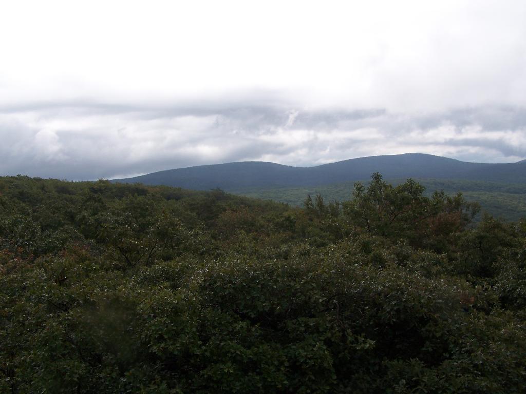
The cabin is not right at the top, but just below it, right off the South Taconic Trail. When you see the sign, you just go another 50 feet, and your on top of Alander Mountain, which runs a 1/2 mile in each direction from here with spectacular views.
Sunday September 13, 2009 — Alander Mountain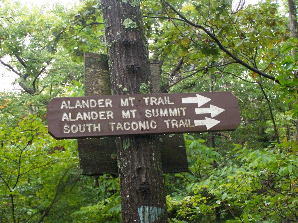

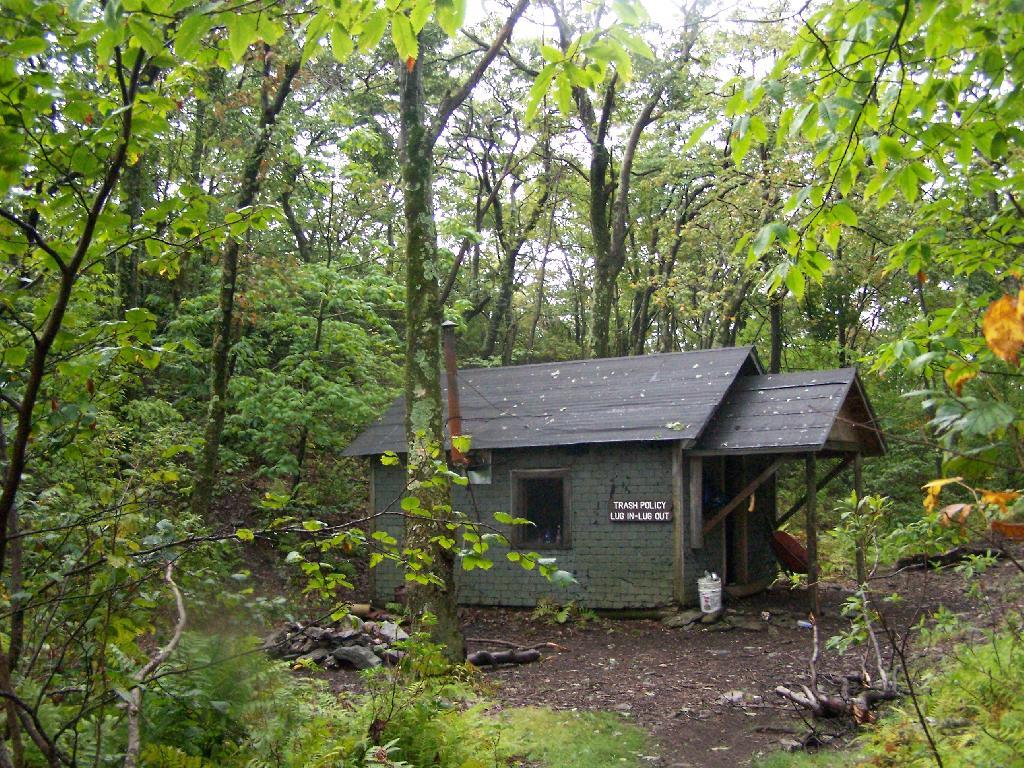
While I didn't get a picture inside of the cabin because folks where still packing. There is a nice woodstove in their, and lots of cooking tools. There also was partially full bottles of liquor, among other things, but I'm not sure if I would drink it, as it probably would make you blind.
Sunday September 13, 2009 — Alander Mountain

There is a free cabin you can stay at up on Alander Mountain, even in the winter. It has a nice little woodstove, and bunk beds for 6. Looked decent enough, although more people should obey the "Lug It In, Lug It Out" policy of Mass DCR and not leave all their whiskey and rum bottles there. Also, they have posted that alcohol is prohibited on cabin, something that is clearly well followed from the number of empty bottles around.
Sunday September 13, 2009 — Alander Mountain