Westerlo April 16, 1952
An aerial comparison from an old aerial photo.

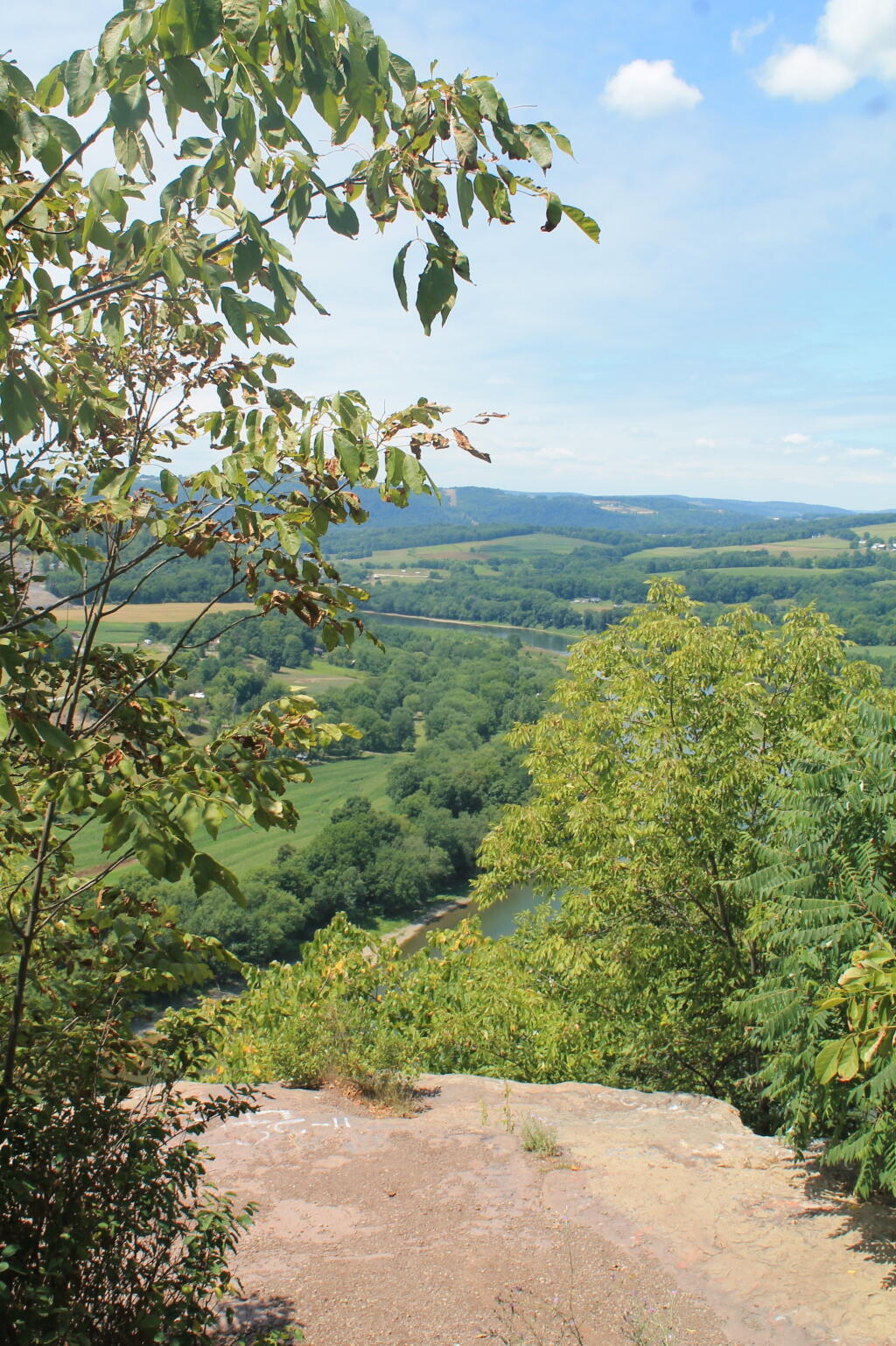
Rock Ledge
Webb Lake, Wisconsin
Webb Lake is a town in Burnett County in the U.S. state of Wisconsin. The population was 311 at the 2010 census. The unincorporated community of Webb Lake is located in the town.

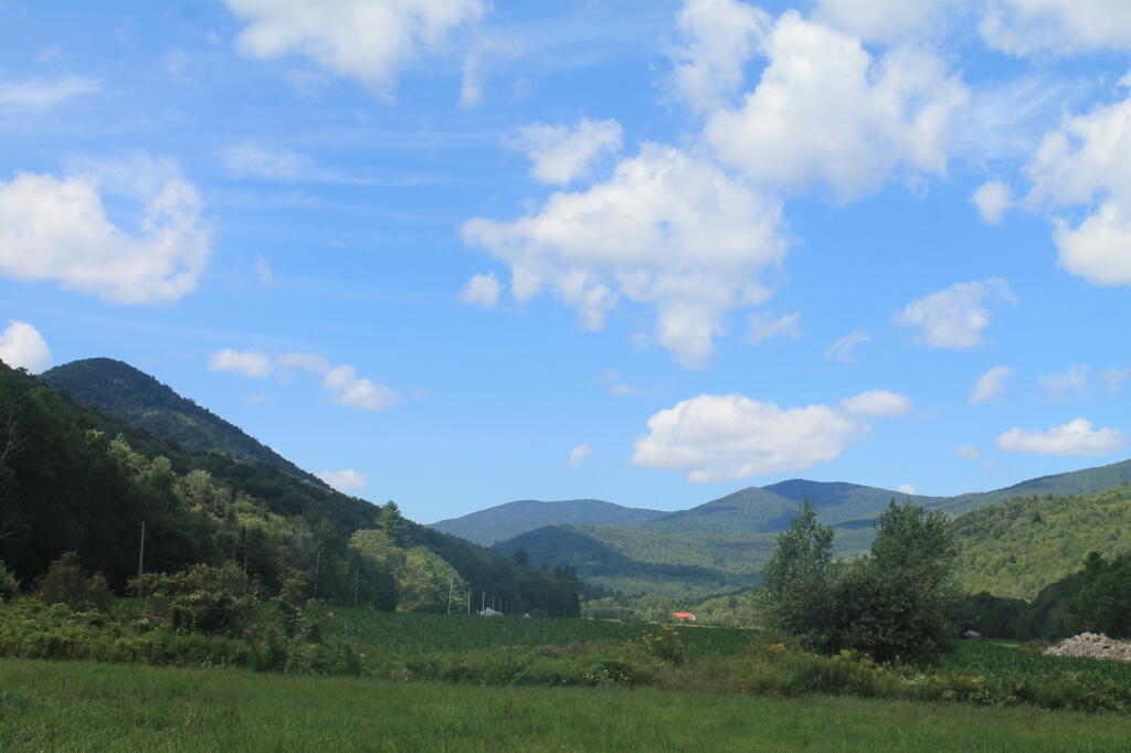
View from Former CC Camp on West Branch of the White River