
Onondaga County 📍

Onondaga County (/ˈɒnənˈdɑːɡə/ on-ən-dah-gə) is a county located in the U.S. state of New York. As of the 2010 census, the population was 467,026.[1] The county seat is Syracuse.

Onondaga County is part of the Syracuse, NY Metropolitan Statistical Area.

http://en.wikipedia.org/wiki/Onondaga_County,_New_York

🖼️ Photos 📽️ Videos

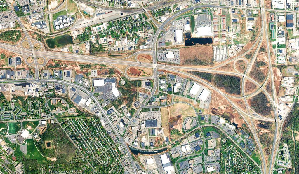
East Syracuse and Dewitt

Looking at the East Syracuse commercial strip and Dewitt, along with the big, complicated interchange between Interstate 481 and Interstate 690.

Ea

 East Syracuse and Dewitt

Map: Mountain House Trail and North Mountain

Oneida Lake

Oneida Lake is the largest lake entirely within New York state, with a surface area of 79.8 square miles. The lake is located northeast of Syracuse and near the Great Lakes. It feeds the Oneida River, a tributary of the Oswego River, which flows into Lake Ontario.

Map: Gorge Trail
Thematic Map: New York State Population Density
Map: Alder Bottom Wildlife Management Area
Thematic Map: Texas is Big