Warren County 📍

Warren County is a county in the U.S. state of New York. It is part of the Glens Falls, New York, Metropolitan Statistical Area. As of the 2010 census, the population was 65,707. It is named in honor of General Joseph Warren, an American Revolutionary War hero of the Battle of Bunker Hill.The county seat is Queensbury.

According to the U.S. Census Bureau, the county has a total area of 932 square miles (2,410 km2), of which 869 square miles (2,250 km2) consists of land and 62 square miles (160 km2) (6.69%) consists of water. Warren County is situated in the eastern portion of New York state; the eastern border is Washington County. Being located in the Adirondack Mountains, it is not uncommon for mountain peaks to surpass 2,000 feet (610 m). The highest peak in the county is Gore Mountain at an elevation of 3,198 feet (975 m).

http://en.wikipedia.org/wiki/Warren_County,_New_York

Download the PDF Map Pack
🗺️ Maps 🖼️ Photos 📽️ Videos
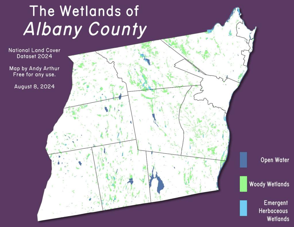
Thematic Map: Wetlands of Albany County

Harrisburg Roadside Camping

Harrisburg Road becomes a narrow dirt road after Harrisburg Lake. Passably by most cars are there are several designated campsites along the road. The southern branch of the East Stony Creek is either crossed by a pedestrian bridge or a 4x4 truck via a ford in low water. To the west is Wilcox Lake Trail (past a privately owned hunting camp and barrier) and to the east is Harrisburg Lake.
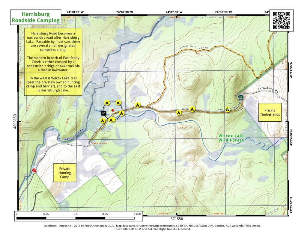
 Harrisburg Roadside Camping

Map: Empire State Topography

Cod Pond Trailhead Camping Opporunities

This past weekend I camped at the upper of these two campsites. It was a nice open field surrounded by white spruce. I hadn't ever been back to this campsite, but being sheltered from the wind with great views oft he stars, it is clearly now one of my favorite sites along NY 8. I have not explored the lower site but I confirmed it existed -- or at least the driveway exists to it -- when I was up that way this past weekend.
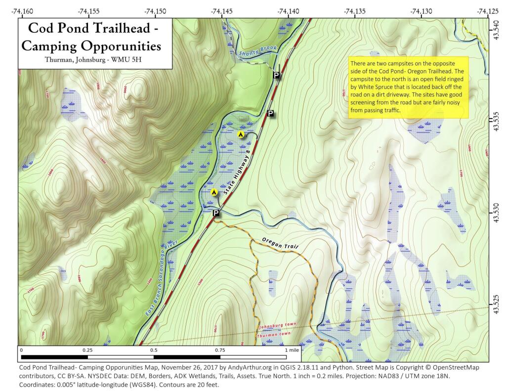
 Cod Pond Trailhead   Camping Opporunities

Terrain Map: Albany Pine Bush Trails Today vs. Historical Sand Roads
Map: Mountain House Trail and North Mountain